In a period of storms, high wind and lower temperatures, when the
forecast is for blue skies, there is only the decision about where to go. I
chose to continue my journey along the North Downs way with a circuit between
Crooksbury and Puttenham (where I had finished last time). Rather than start a
teh same place as last time, Bertie and I headed for the car park under
Crooksbury Hill, working back to Puttenham common, and then picking up the NDW
back along to the outskirts of Farnham before turning for the car park down
the river Wey.
The car park was empty when we arrived and we parked next to the track up the
hill. A bit of a jolt to the system first thing in the morning, but the
track soon got steeper and to make matters harder hit had been "renovated" by
installing wooden steps all the way.
Lungs working hard we popped out of the trees onto the summit viewing
platform
Looking Across SW Surrey to the South Downs including Butser Hill (with the
antennae) in the distance, somewhere closer on the left are the Devil's
jumps near Frensham
From here everywhere is down, and we dropped down the back to pick up a track
to Crooksbury Common. Through the woods and onto a track up past the (hidden
by the trees) antenna on Stone Hill.
This wide track traversed around Stone hill until it came to the entrance to
Croosbury Common
Parts of this were fenced off to preserve the smooth snakes and sand Lizards,
but we continued on the track heading into the sun
The track converts to a tarmac road once out of the open access area and
serves as a drive for several large houses.
Just before the busy B road, we turned 90 deg left and climbed up a narrow
path, which shortly after it levelled off, changed into a tarmacked lane.
The lane ended where it met a local road through a set of gate pillars with
Wyverns on them. We crossed over and continued on the lane
The lane ended at a private car park, and a plethora of signs showing that the
bridle path turned away through a field from this point.
A short section along a minor road led to the village of Gatwick (just a
collection of isolated houses not the airport!), where we headed back into the
woods, heading back northwards starting towards Puttenham common.
An interesting sign on the woods as we approached Rodsall Manor ...
luckily it was in last month
The path went through the collection of houses that used to be Rodsall manor,
before changing into a a sunken track where the road ended. This track was one
we had crossed last time and we picked up the steps rising up from the
track
Coming out opposite the top car park of Puttenham common, we continued north
onto the heathland.
We could not miss this interesting sculpture on the side of the path - I am
not sure if it just existed as an alternative bin. Then we continued through
the heathland taking an undulating track across to Hillbury fort.
We met the NDW at the point where we had left it last time, and continued
along through Totford wood
The hogs back road to the right contributing to the background traffic
noise, as we came out of the woods
Back into the estate of Hampton park, before coming out into the arable fields
beyond. This gave us views of where we had started on Crooksbury Hill and the
antenna on Stone hill next to it.
A long straight section through the fields before we passed down the side of
Farnham golf course, bounded by chain link fences on both sides.
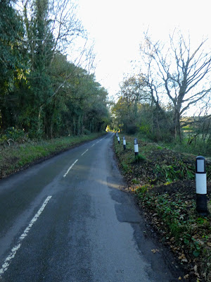
A contrived section followed as we followed the local roads through the
village of Sands, with very little verge to walk on.
Eventually leaving the road to continue in the woods, heading to the outskirts
of Farnham and the river Wey.
Leaving the NDW at Moor Park Lodge - this would be the end of this track as
the route now moved into the suburbs of Farnham.
Walking down the Moor Park house driveway (now split into individual
apartments) it mutated into a wide bridleway through the woods on the hill
side above the river Wey.
As the track continued we could see a large pond below (with the sun
reflecting off the surface) - thios was the nature reserve marked on the
map
At the end of this track we passed an old cave, and a weir under the road
bridge.
A slight diversion was called for here as on the other side of the bridge was
the remains of Waverley Abbey, and was recommended for a pause.
We walked down the trail passed the lake for the Big house and into a field with
the remains.
There we paused for a drink sitting in the sun on one of the old walls. Behind
us the big house looked on.
Back at the bridge there were a collection of WW2 pillboxes from the
defensive line, including an antitank one with a large curving curtain wall
at the entrance. Added to the couple we had seen along the Moor Park trail.
The most dangerous park of the walk followed as we walked up the road towards Elstead, before thankfully turning up a track into the woods - a rutted drive way for some houses hidden in the woods.
The last section climbed up through the woods below Crooksbury hill back to the car park and the van waiting in the sun.