Time to explore the area south of the isolated car park on Bignor Hill - we had walked through it on a number of occasions in the past as part of the South Downs Way circuits. The aim was to follow the route of Stane street to the south west to the roads then turning north through Selhurst park up to the high point before cutting back to the SDW. Crossing over the ridge and down to Barlavington, before heading back up to the car park through Sutton and Bignor.
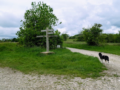
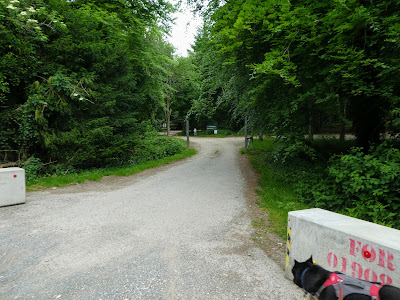
The road up to the car park was more of a farm track - single track with large patches of shingle. Leaving the van we started at the signpost and picked up the traces of the roman road.The path was slightly raised and very straight, dropping on a gentle slope
stepping pout of the woods the view to the coast opened out and we could see over towards Portsmouth. Still on the roman road.
The road was lined by trees as it entered into North Wood, before crossing a meeting of many tracks.
Continuing in the arrow straight way through the woods as they merged into Eartham wood.
Exiting the woods onto the back road past the large car park
continuing on Monarch's way as it left the road through some mixed shrubs, and crossing the A285, before emerging onto a green lane leading to Selhurst park farm.
Into huge arable fields, initially following a wide farm track, then an obvious footpath through the crops.
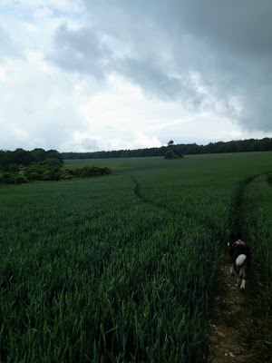
Before all trace vanished, and we needed to cross over a section of barley - getting wet legs from the dew on the crops. On the other side we found a trace that varied form the map. Over the back road and into Selhurst Park Hill forest.
The bridle path followed a fire break through the woods dropping down through a shallow valley.
The track came out at the car park at Droke, before climbing steeply up the other side. Here we could feel an occasional drizzle, mainly hidden by the trees.
Entering the woods below Waltham Down, a bit ragged at the edge.
Before it settled into managed forest. Back on the firebreak tracks. Another large meeting of tracks and we turned North East to head for the SDW.
The edge of the managed area gave way to open fields as we came out into Heath hanger
Into some more woods, before arriving at the SDW on the top of the ridge with views to the north. At this point the occasional drizzle we had passed through turned into rain, and I had to give in and put on a rain jacket.
Crossing over the SDW and taking the track that dropped down around the chalk mine (our routes on the SDW had taken us both sides of this pit. over the A285 and continuing on the West Sussex Literary trail through wheat fields beyond.
The trail entered Duncton hanger, keeping at a steady height
We dropped down steeply from Duncton Hanger, with views north opening out once again.
Over a back road we crossed a bean field and a dip to go over a stream into the village of Barlavington and around the stud farm.
We could see the ridge of the South Downs in the rain as we crossed another hillock before dropping over another stream
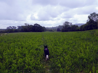
A final bean field.. soaking with the rain soaked us both, before we escaped into the village of Sutton, going down the side of a big house.
Opposite the White horse pub we climbed up to views of the South Downs again - the car park is up there somewhere.
In the village of Bignor we touched a back road before following a stream path and beside some pasture fields.
A narrow track beside the field, before climbing into the woods of left hanger, angling upwards to meet the approach road.
Back at the car park, and time for some food, before going home to dry off. We made it just before the rain got much heavier.


