We were visiting Steph for a few days, and there was an opportunity to hitch a
ride with them as they were going to Hereford for the day. Bertie and I got out
at Kington with the intention of following Offa's Dyke Path south to Hay-on-Wye,
where we would wait for a pick up as they returned.
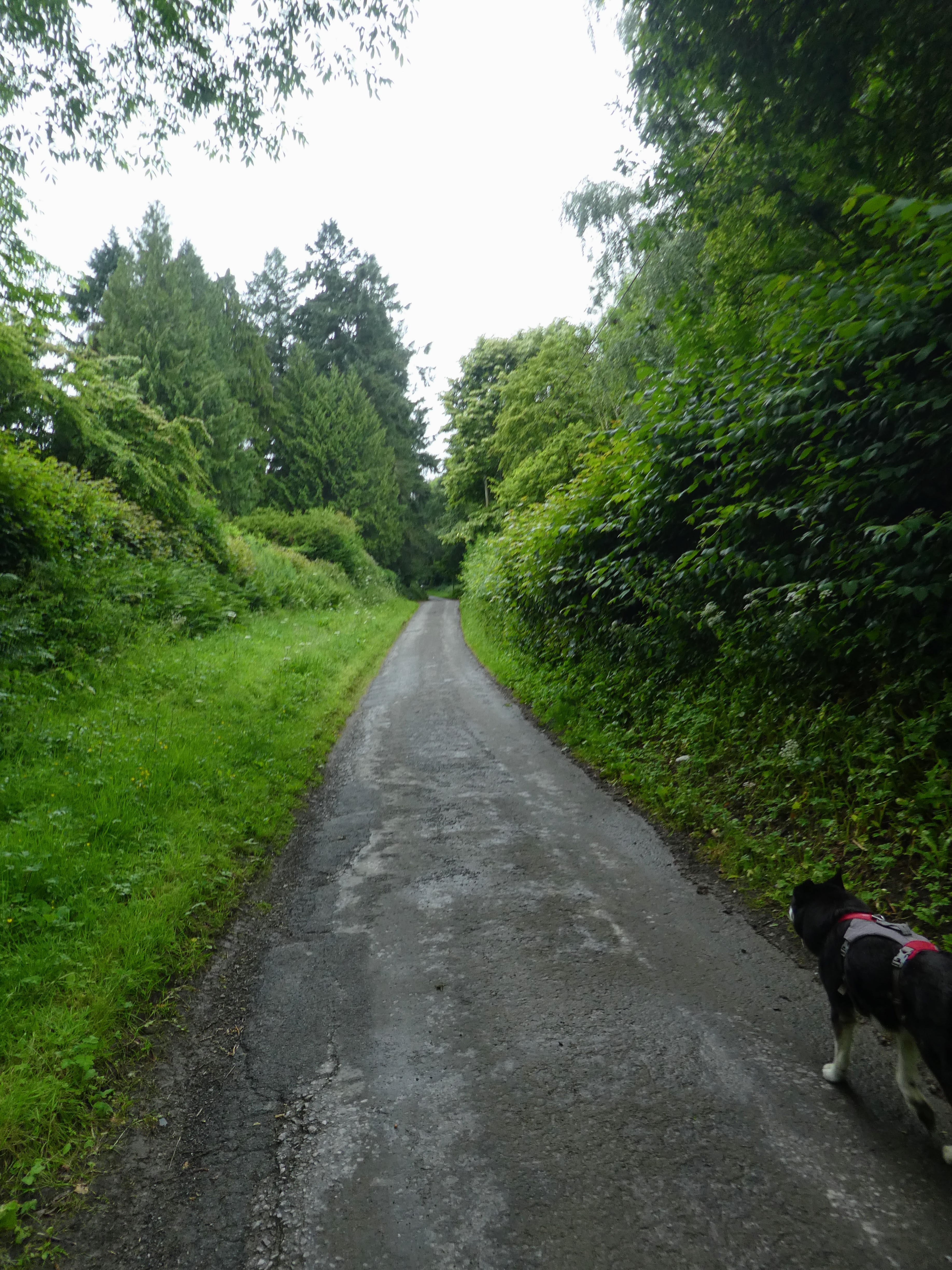
We were dropped off at the start of Hergest ridge road, which we followed up
past the village houses
The road got narrower after the last of the houses (Hergest Croft whose
Gardens are open to the public). We continued until it ended at a sign, and a
parking area.
The paved road changed to a green lane, as we crossed into the open access area
of Hergest Ridge Common.
We continued climbing the gentle slope as it rose past a number of false
summits. There was a bench looking back across the valley behind with the ODP
heading to Knighton.
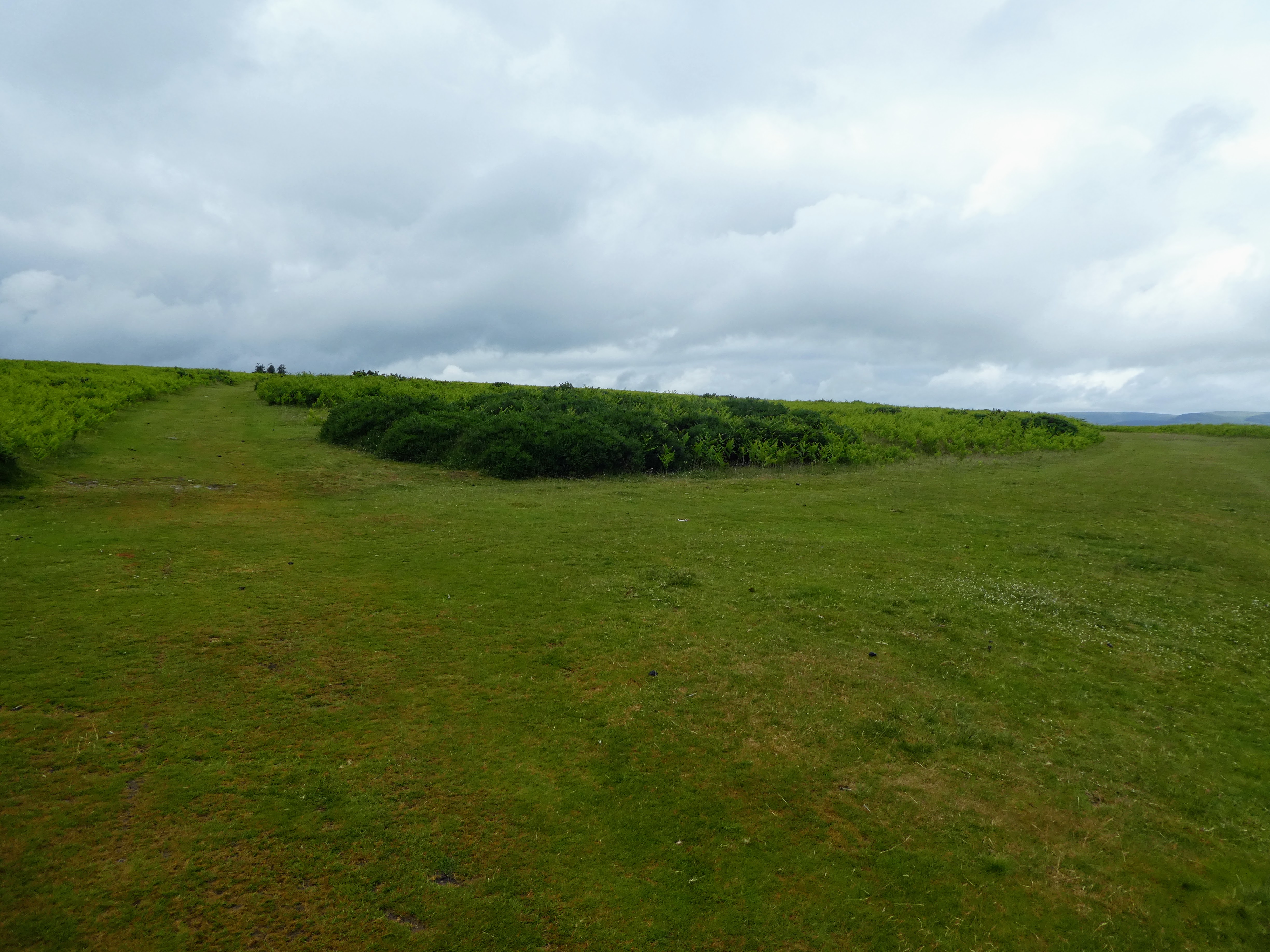
As the slope flattened we crossed what was marked as a disused racecourse track.
We would cross the other side after the summit. The race track cut s wobbly oval
around the top of the hill which was very flat at this point, with just a gentle
rise to the summit.
The summit was marked by a copse of trees and a bench. Looking onward along the
ridge and the actual Hergest ridge.
The panorama looking south from the summit - and the black mountains we were
heading for (at leat the footnote of them at Hay)
Another slight rise beyond to the next summit - again very rounded - that we
contoured around below the very top.
Then onto Hergest ridge itself... still flattish heading off to the next slight
rise and the following descent
Looking to the black mountains and where we are aiming to end up ...
somewhere in the haze.
From the top was a long ridge dropping down to the fields beyond
There was a small knobble at the end of the ridge - however the path skirted
around to the left of it from the col.
The track started off as stone based farm track, however once it got down to the
houses flanking it, became tarmacked.
Down into the village of Gladestry, where we did a wide U-turn over the river
and back down a lane on the other side past a campsite.
When the track reached the Stone house, we continued on the road (only because
we missed the turn through the stable yard) up a steep hill, then returned to
get on the right track, up a steep bank and then over the lesser slopes
above.
The track continued as the slope relaxed even more, through the sheep pasture,
then into a grass field, to the top of this hillock. The first of today's rain
showers started and we had to stop to put on the rain anorak
From the top we walked around a ploughed field, on a path first on the field
side then fenced off. The path ended at a back road, a quick zigzag and back
into the fields, Bertie ignoring the sheep as we passed between them
The ODP followed a farm track onto a back road then did another zigzag past two
farms, after which it exited onto the Disgwylfa hill open access area. The rain
had stopped, and things brightened up a little
ODP traversed horizontally for a bit then headed up the hill on grassy swathes
between the ferns
From the top we could see the Black mountains - still looking a long way off.
The path continued over the flattish top, before dropping down to a col and up
the other side to a secondary top.
Beyond the summit we could pick out the way down to the village of Newchurch
nestling down by the river. Luckily we did not have to climb the hill beyond,
but rather our route would bend to the left.
After the open access area, we followed a green lane down to the village, past
the chapel and then the church (although we did not stay for the offered tea/
coffee)
Leaving the village we took the lane leading up to the farm of
Gilfach-yr-heol
After the farm the back raod became a farm track then ended into a sheep field,
then a cut hay field climbing up and over a shoulder.
The fields ended at a farm track that merged into Red lane - a stoney track that
led down and across a backroad, before climbing up a field track on the other
side.
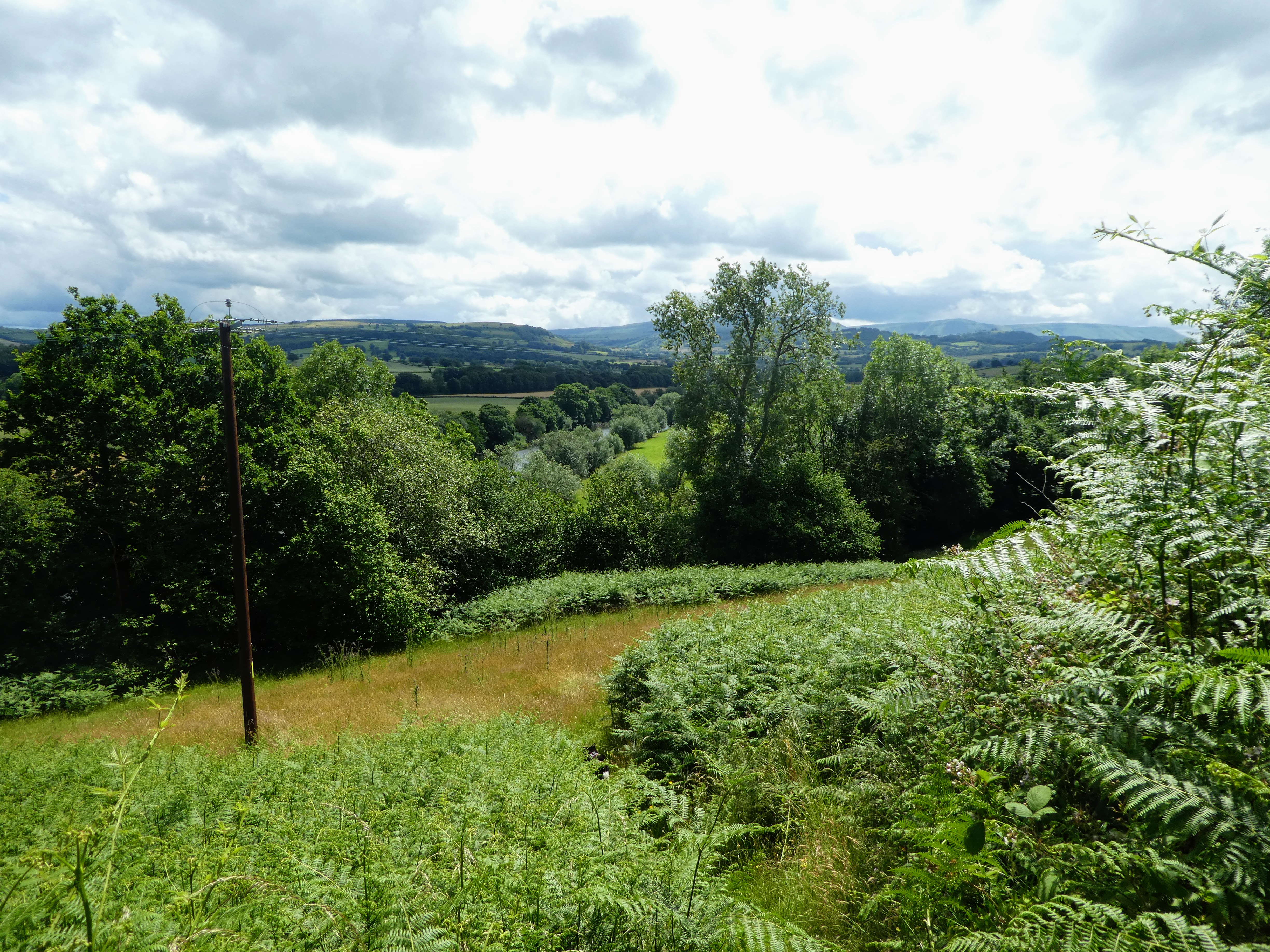
There now followed a prolonged session on the back roads and lanes, as we
zigzgged south. Luckily we only met one vehicle on these narrow roads. We did
get a few views of the Black Mountains, now a little closer.
At a dip in the road where it crossed a stream, and the ODP turned off and down
some steps. The path followed down through the woods on an overgrown path,
before coming out on a track contouring above Bettws Dingle
The track worked all the way down above the stream gently dropping until it
reached a driveway, where it steepened until it met the main road (A438) between
Hay and Hereford.
An exposed section walking on the side of the main road, before we could take
the path through ferns to the side. then through the woods and scrub until a
footbridge crossed over to farm land.
Initially cattle and sheep grazing, before changing to crops after passing
Bronydd farm
Around the crops fields - now wheat, and down a green lane, opening out to the
meadows beside the river Wye. At last the Black mountains looked closer beyond
where Hay-on-Wye should be.
Following the meadows alongside the river
The path dropped through the trees to the pods of "By the Wye" glamping - tents
on platforms, and then following the trail to the road
Looking up to the bridge over the Wye, and then down the river looking where we
had come from.
The road continued over the bridge and into the town. We turned right to get to
the butte market, and had a rest stop in front of the castle to ping Steph that
w had arrived
Sue and Steph would be about an hour, so Bertie and I walked up to the castle
then relaxed on the lawn outside the newer sections on some convieniently
placed deckchairs.
Relaxing and waiting for the pickup... then we walked down to the car park beyond and the luxury of being driven home.