The weather has been hot for a few days, and to counter the heat I chose to go for a local walk and start early. So leaving the house before 7am and planning to walk as close to the parish boundary as possible.
Out of the village on a very familiar trace down past Orchard Cottage and on to Wephurst Park, through the woods beyond, finally leaving the track to cut across a bean field to start the westward traverse.Approaching the Kirdford road, involved a diversion around a house and garden. Here the parish boundary goes across country, and we had to go around, by heading down the road to Mackerel's Common, then up the bridle path.
Out of the woods of Mackerel's common and onto a farm track down an avenue of cherry trees.
Meeting up again with the boundary as we approached Crouchlands farm, however the issues with "lagoon3" have still not been resolved and the path is shut, so another diversion is called for - this time continuing north through the farm and up towards Plaistow village, before turning left into the woods
We were now following a trace we had been on a few weeks ago, working our way diagonally back to the boundary to the south, across the grass fields with scattered sheep. and into Roundwyke copse.
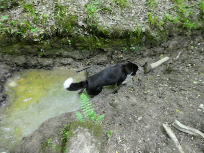
Bertie dived down into a ditch to pick up some water before climbing back out. The boundary crossed us here and wiggled around north across country. We continued west.
Around Roundwyke house though a field of very long grass, and then a harvested field to Upper Frithfold farm yard. Then down the farm driveway towards Pipers lane.
Meeting up with the border again at Piper's cottages, we followed it up the bridleway heading north, into Birchfield copse. Through the copse to a crossroads of paths.
The border had taken a more direct route, and we took the left path to catch up with it.
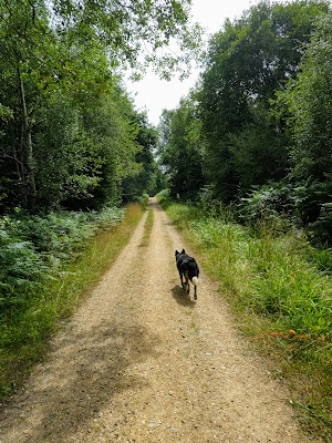
A very straight path, led through the fields and woods, until it came out on a tree lined path shown as "the plantation" on the maps.
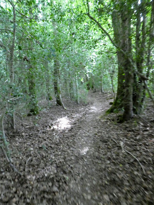
The Westward path ended at a track and some houses at Frith Hill. We took an odd footpath into Frith Wood to stay as close to the boundary as possible. This descended down to a dry stream before climbing to hay fields, now going north.
Crossing another stream, where Bertie cooled off once more, and a struggle to climb out, we climbed up the other side on a very sandy track. The boundary headed north following the stream, but we had to veer right.
The track levelled out into a scrub area whose tress had been harvested a year or so ago. The actual path was disguised and we missed where it veered off right to the trees, and had to double back in a wide U-turn
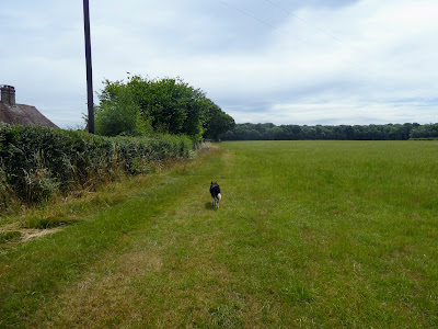
Crossing the grass fields above Shillinglee Park. A small wooded area led to the paved drive way.
The boundary had disappeared off through a part with no access up to the Sussex Border path, we cut the corner off up the road past Shillinglee park house. A wide zigzag on the road to White's hill where we caught up with the border and the Sussex border path.
The path around the back of Shillinglee Park from the farm was a terribly overgrown and full of nettle and bramble landmines. I was really pleased when it ended in the woods that led to the gallops connected to the park.
Now on the more open part of the SBP heading back east. WE had been on this a few times over the last couple of years.
Even the undulations were remembered as we moved into Durfold wood.
Through the village of Durfold Wood and across the road to Dungate farm. As we get closer to home the paths are all more and more familiar. Crossing into upper Ifold Wood.
Bertie found a very muddy puddle as we crossed into Hog Copse. We continued on the SBP (also the parish boundary), through the copse and down the road to Oxencroft.
We joined the Wey south path where the SBP crossed it at Gennetts Wood Lock, and followed it south, whilst the parish boundary wound around it. Bertie cleaned himself of the mud in the canal, before we left the canal on the twitten into Ifold, and followed the road home.


