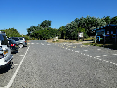
We had planned on joining an Austrian Alpine Club walk this Saturday, however it was cancelled due to the organiser showing positive for Covid. So in place and a day earlier than the scheduled one since the heat was rising each day, I had looked out a coastal walk - slightly shorter, walking around the edge of Pagham harbour from the RSPB visitors centre (free parking) to Selsey beach then back across the fields.
We left the parking spot and worked out which track we should use (need to be careful of the birds with the dog) - there was a "dog Friendly" route away from the hides.The track came out at a building labelled "Ferry Hide" which seemed to look over the road to the ponds beyond, rather than the estuary. We walked past and crossed the river beside the road bridge.
Turning out alongside the estuary and Ferry channel. The path stayed along the top of a bank through the scrub.
Looking across the harbour to Pagham village, and where we had walked on the
poddle earlier in the year.
The track curved around the wetlands following the edge of Pagham HarbourAround another curve and we could see the sand bar at the end of the harbour
As we approached Church Norton, the path veered away from the edge of the estuary and took a line in the bushes on a bank above the high tide mark.
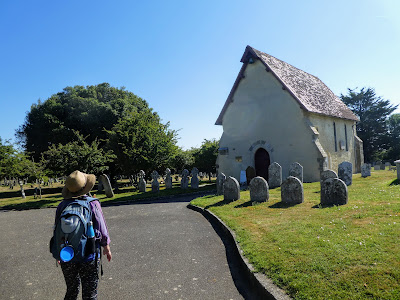
Into the very ordered graveyard of the church and past the chapel/ church
Beyond the lichgate was our alternative car park also free, and a path back to the estuary border and views to the sand bar.
The sand bar was actually pebbles... however there was a stable way through.
Along the bar among the sea cabbage before it opened out to pebble beach as we left the path when it headed inland.
Bertie dived (waded gingerly) into the moving water, before finding a puddle left by the retreating tide to get deeper in.
We left the pebbles when we reached the end of the private drive serving all the luxury beach huts as far as they had extended from the centre of Selsey.
The road turned away, and we moved onto the promenade between the houses/ gardens and the beach. Views backwards to Bognor.
The first of the beach car parks, continuing on the promenade counting the groynes
Beyond the lifeboat station, and the fish processing sheds servicing the boats just off shore. Up to the Selsey Bill (the end of the promontory if you can call it one). Once around we had views across to the Isle of Wight.
The pebbles give way to some sand/ mud, Sue went for a paddle, but Bertie did not like the moving waves sneaking up on him, but did have a couple of dunks.
Up to the Promenade again near the second beach car park. We picked out a bench and stopped for an early lunch. Looking over the beach and water to the Isle of Wight.
Zooming in on the cliffs on the isle, and also someone resting on the sandbank out to sea. After the break we set off back to the van by a more direct route. First up the road to shopping area, where we took a path out through some houses to a back road. This road lead through some mobile home/ caravan parks all on partially finished roads - not really an ideal place to walk.
The other side of the holiday village we were on the route of the old railway/ tramway until we met the entrance road for a country club (read another holiday park) and the golf club. Here we turned along it to get around the private land.
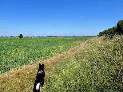
Around the end of the holiday park and into the fields beyond. The path went along the edge of the arable fields (first peas then wheat). then along the edge of the golf course - other side of the shrubbery hedge.
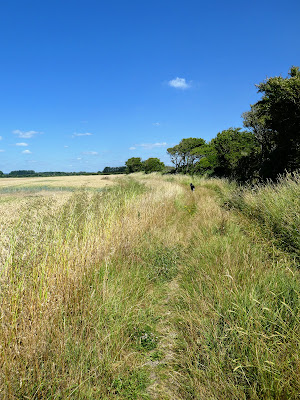
At the end of the golf course we were reacquainted with the old railway for a section up to the trees
The path skirted around a broken barn then back on the disused railway to the bridge over the ferry channel we started at. Bertie went the wrong way and had to bounce over the cut hay to get back to us.
Back on the trail past the ferry hide and then to the van. Sitting in the van I was tempted by the Ice cream sign and had to give in, before we turned for home. It would be remiss if I did not include some of the birds we saw.


