The heat wave has settled down to be around 25 deg C at midday, so I was still
opting for early starts, so Bertie and I arrived at the trundle car park
looking down to Chichester harbour once again, and before 9am. The idea was to
drop down the hill to Singleton, then climb the hill beyond makign for West
Dean woods. From there heading west in a loop to Chilgrove, before taking the
path up the long ridge to Kingley vale. Up to the high point of Bow Hill
before coming back down to Goosehill camp, picking up the Monach's way and
along Hylter's lane, crossing over the hills to West Dean, and then return to
the car park along the college boundary wall.
We parked beside a car with someone sleeping in it, and another camper van -
probably similarly stopped - then took the large path up the Trundle.
The top of the Trundle
The view north and south from the top of the Trundle.
Dropping down the north side to the alternative car park , and the road. We
crossed over and took the back road on the other side.
After a short section on the road the path left to go between corn fields.
looking over to the fields beyond up Hat Hill.
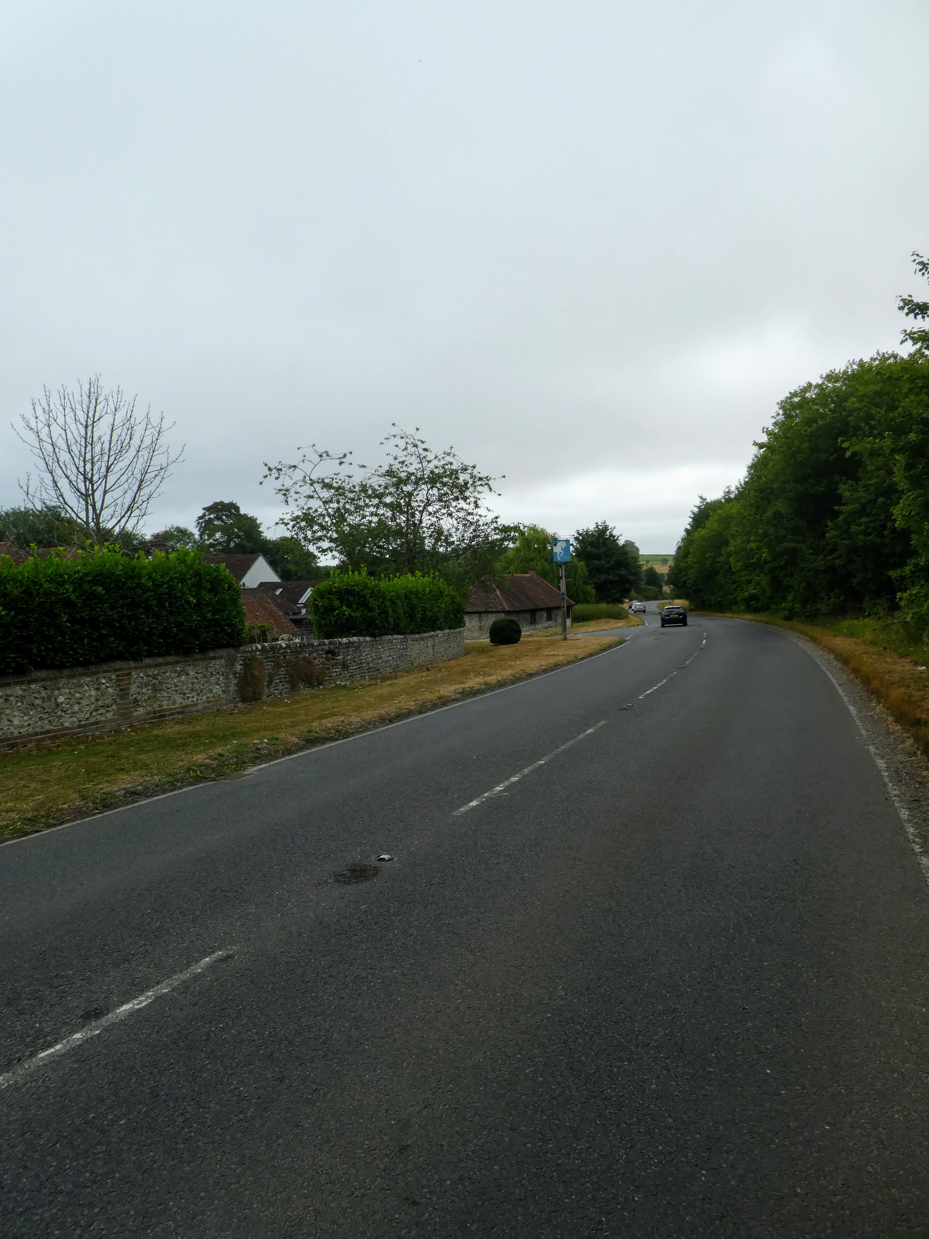
Dropping down to Singleton, and around the church before crossing the A286 at a
road sign showing all the local pubs.
Beyond the village we headed up a path into Drovers estate between tall hedges,
giving a tunnel effect.
Crossing what is left of the railway from Midhurst to Chichester (we walked part
of it on the Lipchis way), and up the steep side of hat Hill.
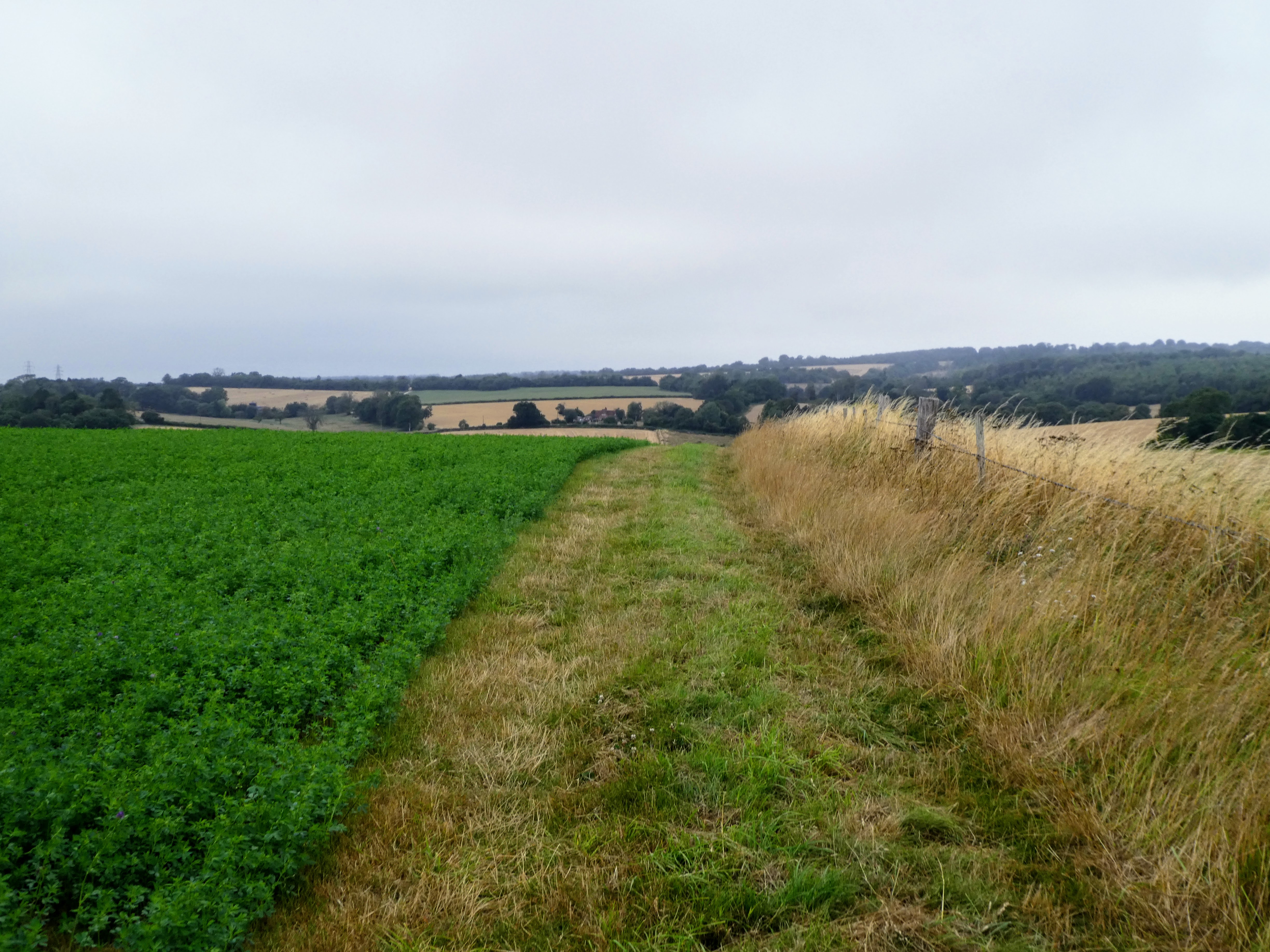
Over the top of Hat Hill alongside corn fields, until it came out at a lane
Through the farm yard of Colworth Farm, and onto the bridle path beyond.
the bridleway went between harvested fields, and past a converted barn turned to
a residential property.
At Westdean woods, we turn sharply to follow the edge, and down to a back road
(we had been here on a walk last year)
Picking up a track over Stapleash down to avoid a loop in the road.
Merging with teh back road once again, we followed it beyond where we joined on
the last time, and continued on until the driveway to Brooms farm.
From here the track split away up a woody corridor, until it opened in to
smaller fields
The track headed into Stiubbs copse, and after dropping slightly we turned left
onto Philliswood lane
Unfortunately there was a herd of cows where before the track met the B2141, and
we had to divert along the road for a short section, before we could drop back
to the footpath.
Back on the road passing the White Horse at Chilgrove, then up a gravel track
heading up the slope away from the road.
Continuing to climb the gradual slope to a crossroads of bridleways, where we
turned left continuing to climb the slight ridge.
The track continued to climb slightly along the ridge and passed Blackbush
house.
When we reached the Monarch's Way track crossing the ridge I chose to go on to
the top of Bow Hill, so to make it a circular route, we followed MW west for a
short while then picked up the bridleway coming for the car park below.
Climbing the bridleway, we met up with a couple who were lost looking for the
Devil's humps, and we walked with them (and their young collie) to the trig
point. A pause for some refreshment (Bertie downed a litre before he was
slated!)
Back along the more direct track to the MW, we passed this point with views
across to the Trundle, and a dew pond that still had some water in it. Just a
dip as he had tanked up on the break before.
The track edged between the beech woods to the left and the yew trees to the
right, until we were back at MW. Here we turned east and dropped down through
the yew tree glades. In here was goosehill camp - an old iron age settlement,
hidden in the trees and barely noticeable.
Dropping out of the trees showed views across to the Trundle behind the nearer
hills, and we dropped down to Brickkiln farm.
We followed Hylter's lane (or road) up the hill until we could take a farm
driveway, dropping down into a dip to the right.
Luckily the wheat had been harvested, and we had no difficulty cutting over
the fields to follow a compass bearing for the MW across them climbing up to
Lodge Hill farm.
Beyond the farm we crossed yet another harvested field and entered Whitedown
plantation.
Through the plantation and across a back road, before crossing a grazing field
looking down the dip towards West Dean.
We dropped down a track into the village, across the A286 and then around the
back beside the West Dean college boundary wall.
We continued to follow the wall as it turned around away from the village,
climbing once more, beside Westside plantation.
The MW followed the track beside the boundary fence into the woods, before coming out at the top of the hill. The views down to the coast under the clouds.
Back at the car park, and a convenient bench to stop for lunch, looking down to Chichester harbour.