I had been to Harting down several times, however each of those was a
circuit to the north, so today I decided to go the other way, and drop down
through the hills and valleys in a westward curve towards Kingley vale, with a
section on the Monarch's way and then back up to the ridge and return to the
car park.
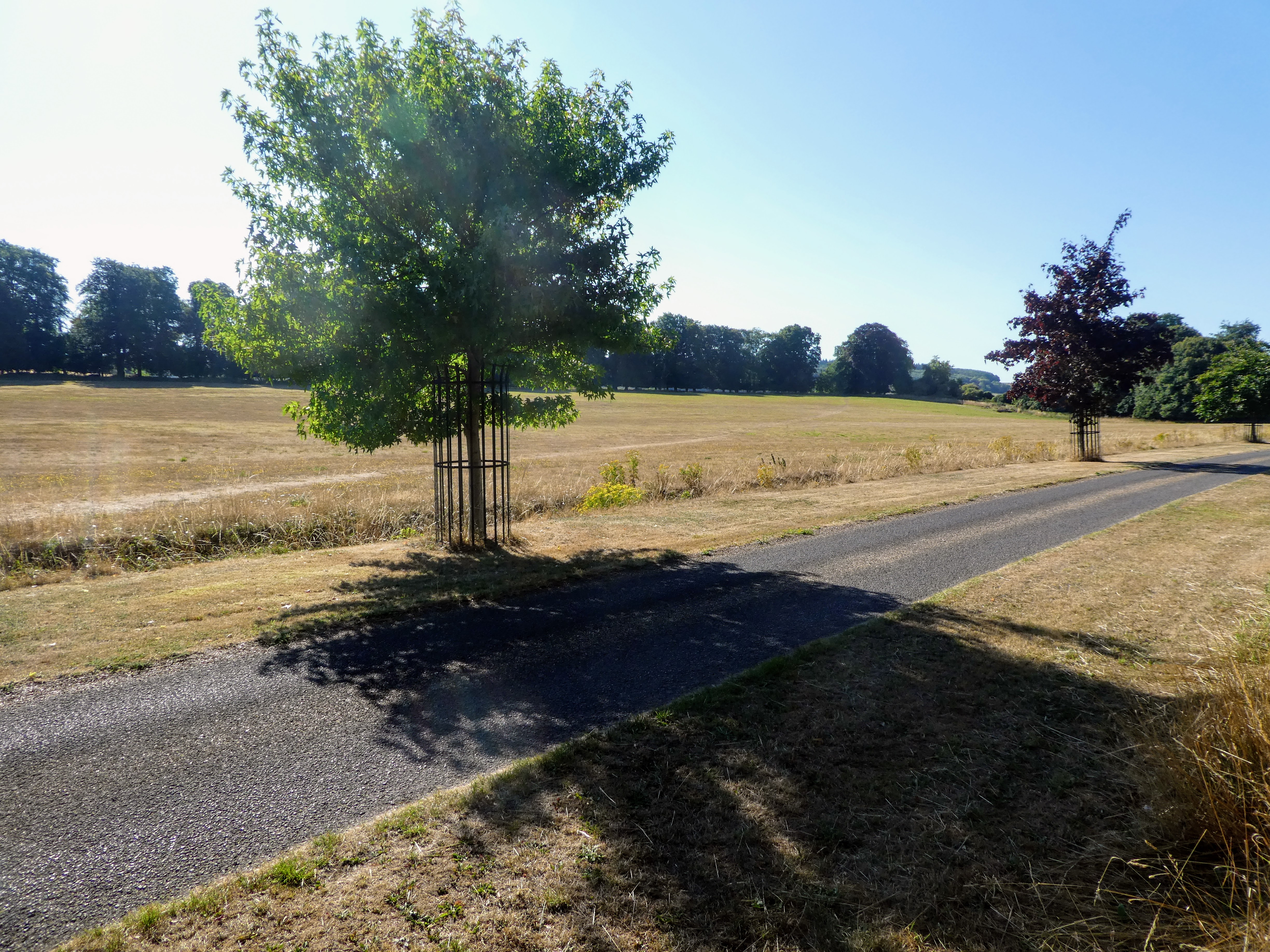
We parked in the most shady spot, before diving into the woods leading away
south down the hill.
There were occasional views across to the ridges opposite coming down from
Harting Down. Towards the bottom we passed a field that the map called "Kill
Devil Copse"
Cutting across the B2141 and along a driveway, before turning down a path buried
in the side of fields.
We split off the path onto a bridleway - actually part of the Compton Cross
country route for horses, with little fences and long cantering sections. We found a water tap along here, but Bertie was not interested.
Still on the cross-country course we walked up the driveway to Telegraph hill,
passing the long barrow with the strange name of "Bevis's Thumb"
Up the hill and past the house in the shade of the hedge. The drive mutated into
a farm track beside wheat fields.
The track continued along side more fields - all recently harvested, until it
entered a wood and wound around for some unknown reason.
The track then ended at the back road beside Locksash Farm. We followed the back
road south for a couple of kilometres without seeing any vehicles.
The road curved around with views over to Watergate farm, and its holiday let
"the bothy". We saw the first of a number of deer running over the road here.
The road merged with the drive way for Watergate house, and down to the B2146
road. Across the road and up a footpath. A pause for Bertie to have a drink now we were back in the shade.
The path turned around a house garden and continued parallel to the road,
however inside the woods. We dropped back down to the road and crossed into
Watergate park.
In Watergate park the path cut across the vista from the big house to the hedge
line.
Beyond the hedge we crossed a recently harvested corn field, and a lane into a
second field, until we met the Monarch's Way just outside the village of
Walderton
Turning up the MW and climbing a slight ridge on the edge of more recently
harvested corn fields to a line of woods above.
The MW turned down the hill again dropping into the village of Stoughton, where
Bertie met a pair of dogs running away from their owner.
Along the road through the village, until the MW split off down a dusty farm
track.
The long dusty farm track led up the bottom of the valley to the ridge ahead
leading to Box Hill in Kingley Vale. (to the right), with a kick at the end. As we passed a couple of water troughs Bertie indicated he would like a drink, but was not prepared to lean over, so I had to get the bowl out for him and fill it up
Halfway up the kicker the track morphed into a foot path up tot eh trees above.
Here we were at the cross paths from the last visit to Kingley Vale, and we took
the one path we had not yet been on, turning north.
Into the woods... following the wide forestry trails through Greatdean
bottom, until the path merged onto the trail to the car park. At this point we
crossed over via a zigzag to keep going north, into Wildhams Wood.
Skirting around the edge of the Wildhams wood on a wide vehicle track,
thankfully in the shade. The woods thinned out before coming out at Hillbarn.
Opposite Hillbarn entrance we turned off the track and down a footpath that
headed over to the village of East Marden, across a slight valley.
I was not expecting the very steep descent down to the valley bottom, before a
small rise to the village and along a back road away from the traffic.
Leaving the village we crossed a cow field (luckily for Bertie they were more
interested in staying under the shade), and then across corn fields to the
skyline. We had to repeat the trick with the water trough in one of them.
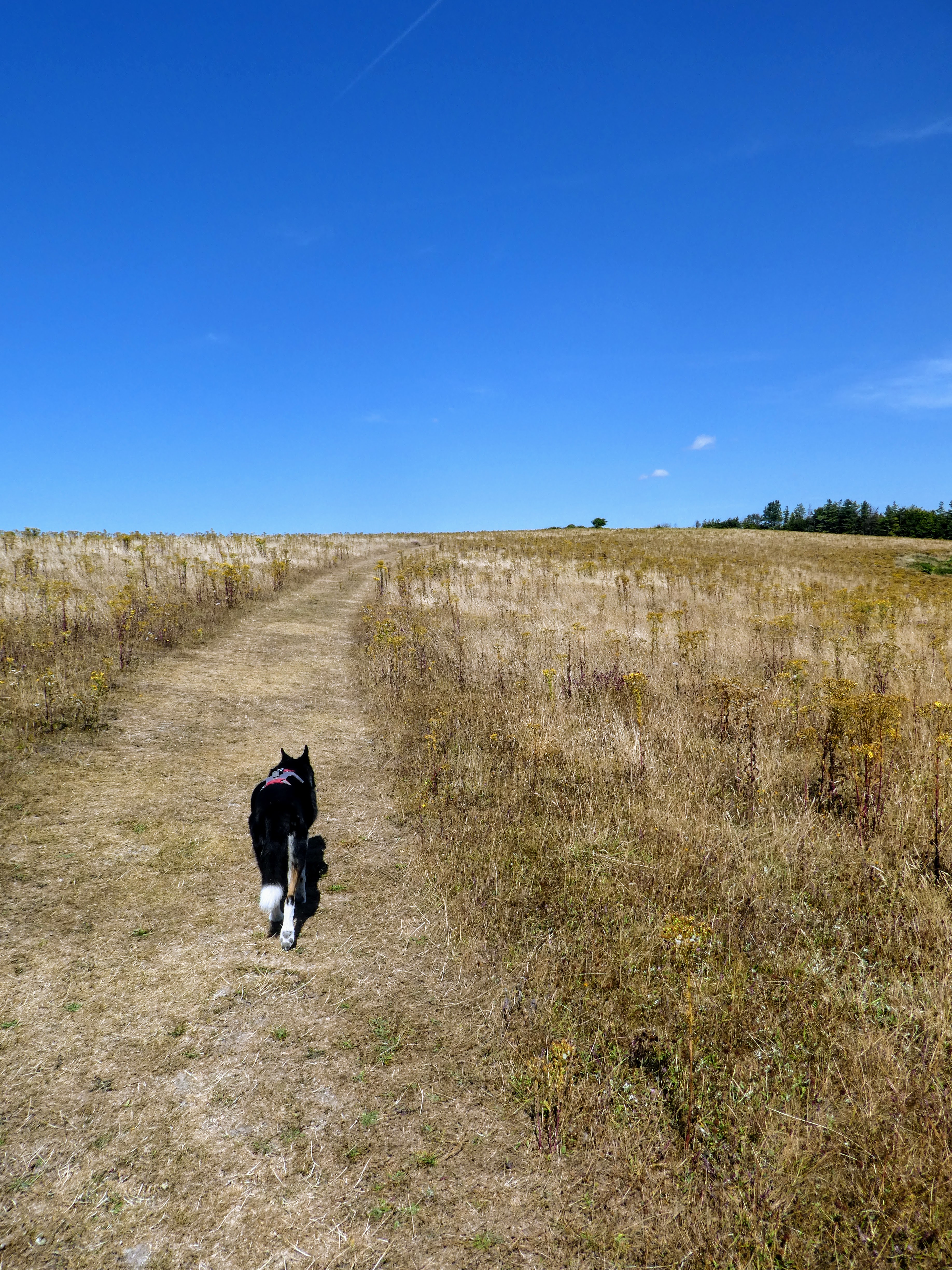
Beyond the false summit of the skyline and across a green lane, we crossed more
corn fields - these had been ploughed already, and finally a fallow field that
came out onto the B2141.
After only a short walk up the B road we turned down a lane to Hooksway, that
led to a pub at the bottom of a valley.
Unfortunately the pub was closed, so we continued up the valley behind it,
beside Germanleith copse. The valley turned sharply and flattened with
fields.
In the trees we merged then diverged from the track to Buriton farm. A slight
stop here to have refreshments all around, then leaving the woods we got our
first views up to the South Downs ridgeline.
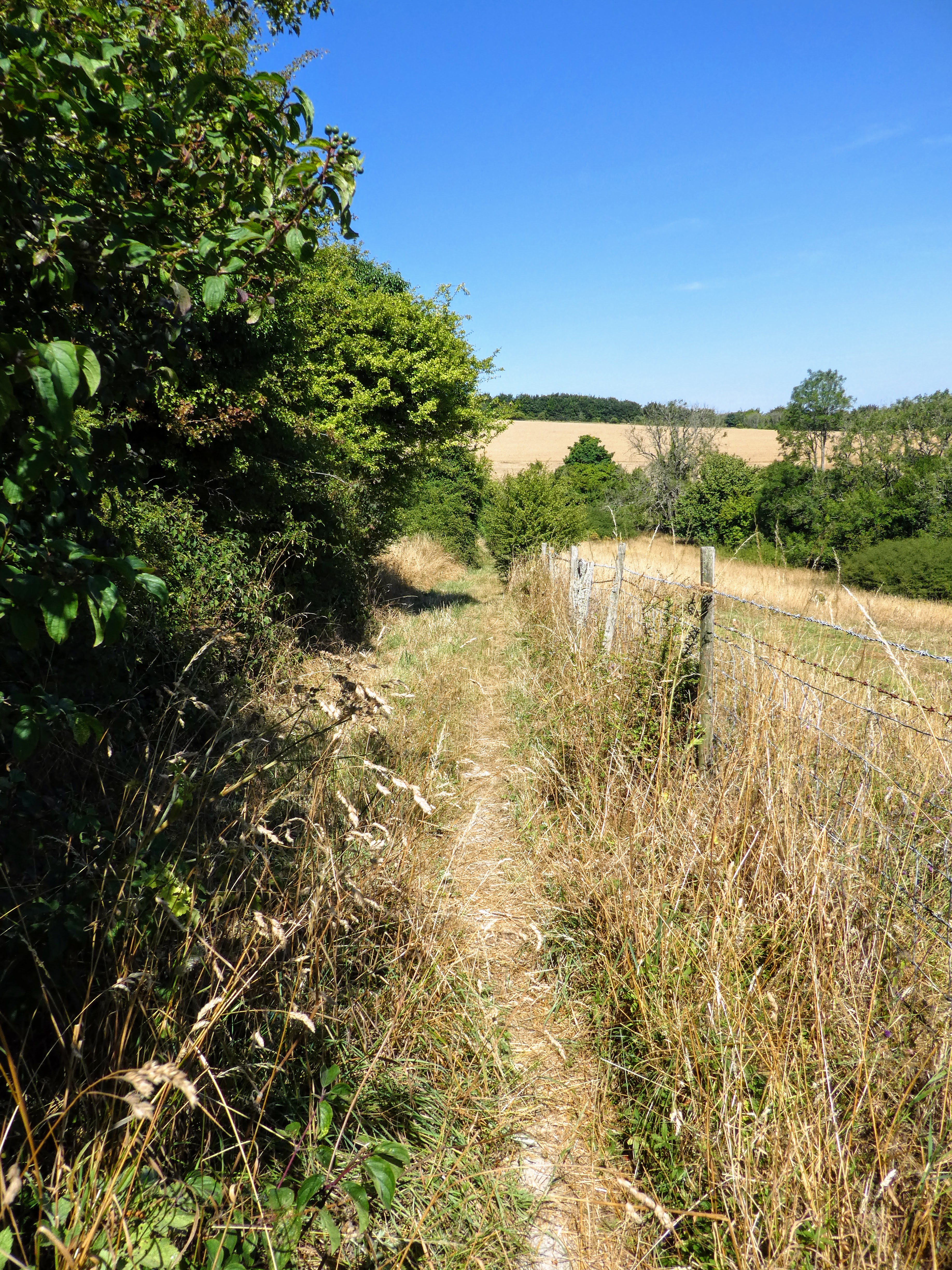
Approaching Pen Hill the path narrowed to a small path between fences. As this
came out below the hill we took an opportunity to traverse around below the top
as we would only drop down again to rise up Beacon Hill.
I found a path that went around, rather than up, but this got very scrappy,
however we did see several families of deer run off away over the valley
below.
Leaving the scrappy bit and back on a "proper" vehicle track we passed some bird
feeder, including water containers that Bertie got a top up from. and then we
came out below Beacon hill and followed the SDW which contoured around.
However, once we contoured around it made for a simple climb to the top,
avoiding the steep direct route.
The view looking West, and covering some of today's route.
The drop from Beacon hill and up to Harting Down. The steep descent was taken at
an angle, then the traipse back up the other side - by now I was feeling all the
ascent of the day.
Looking north from Harting downs, with East Harting below.
Over the top and down to the car park, and the van hiding around the corner.
Sitting in the van having more refreshment, and our lunch when a large sikorski helicopter went over then few mins later back the other way.