The next AAC(UK) walk in the South, to Sunny Bentworth, Hants. - a 'circular' 10.5mile walk in the rolling Hampshire countryside North and West of Alton, from Alton Station. The route soon leaves Alton and climbs gently north-westerly to the village of Shaldon, then drops south-westerly to the A339 before climbing again to Bentworth and lunch at the 17th century Sun Inn. After lunch the route trends South and East undulating across hills and woodland back to Alton Station.
There was a lot of humming and hawing about whether the walk would take place due to a strike on the trains, so we only got our final go ahead late on Friday night. We arrived at the station car park around 9:30 with plenty of time to work out where we needed to be - the bunch of oldies milling around the rear of a car!
After the inevitable hanging around we (16 of us) set off out of the car park and up to the main street. Bertie managed to do two convenience stops before we arrived at St. Lawrence church. Beyond the church and down a twitten to the flood meadows. Through the flood meadows and into the residential areas heading north. Leaving the suburbs, and climbing up the fields beyond the town. Pausing at a view point to look back over the town (and the cloud patterns).Over the top of the hill we dropped down through a scrubby path to the B3349, and crossed over to a back road.
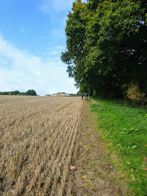
Angling across a harvested field climbing up to the trees on the fence line above, beyond another field past Southwood farm.
Past the farm and down beside Pancake Copse and through a grass field to come out at Southwood road.
crossing the managed grassland and tree planting of Shalden manor house looking over, then down a twitten into the village.
First rest stop at Shalden church - also a commonwealth war graves location. Sitting outside in the sun. Leaving the churchyard and around some fields heading west.
Gradually dropping down to the A339 - a busy road crossing to the back road opposite A byway split off the back road and headed back up once more. Wadgett's lane started off stony while it climbed, then changed to a green track as it levelled off.
Beyond a track junction, it degraded into a heavily rutted track with deep slippery muddy pockets to be avoided. The lane ended at the edge of Bentworth village, then a diversion through a cow field to go past another church.
Back out again along the crumbling boundary of a large house, before dropping down Sun hill road to the pub, and our lunch stop. Sue, Bertie and I stayed in the gazebo outside, whilst everyone else went in for pie and a pint. There then followed a long wait for them to finish!
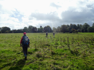
Eventually they all came out and the walk continued around the south of the village through grass fields which seem to be the local dog walk routes.
the track came out at the byway labelled Tinker's Lane, which wound away between fields.
Splitting away from the lane through arable fields towards Thedden Grange, climbing slightly.
Passing the big house and down a back road for a short way
Taking a path angling away from the road to pick up the edge of the houses of the village of Beech. Here a green labne took us down to Medstead road
The wood narrowed as it extended towards the town. At the outskirts we picked up a continuation down between the houses.
Crossing over into the Flood Meadows of the source for the river Wey - a local park - but everything was very dry.
Crossing through the park at the other side to the way we left earlier in the day, and through the streets, before joining our outward track.
Back at St. Lawrence church and along the avenue of large redwood trees, before returning to the train station using the outward track in reverse.


