I had picked up a leaflet about one of several trails that follow the
railway line down to Havant from the South Downs. The difference with the
Staunton way is that is a circuit, it can start anywhere on the trail and go
around either direction to end at the start. I chose to start north of the
Downs at Buriton where there is an excellent car park next to
the village church and pond, this removes the section along the
South Downs Way at the expense of some addition height gain/ loss. the aimwas
to follow the Milky Way track up to the Downs then pick up the SW south past
Ditcham Park School, heading for the rail line, crossing the SBP, and a bit if
a double back to continue south past the St Hubert's chapel. Another double
back to curve onto the outskirts of Stansted Forest, following this to
Rowlands castle. Beyond the town and south to the outskirts of Havant, then
across west to Staunton Country Park. Through the park to return to Rowlands
castle, and a set of jinks to meet the SBP. Heading north along the SBP (the
reverse of an earlier walk) to reach Chalton. Still north to reach QE forest,
through the open access area to reach the SDW, and finally back down to
Buriton.


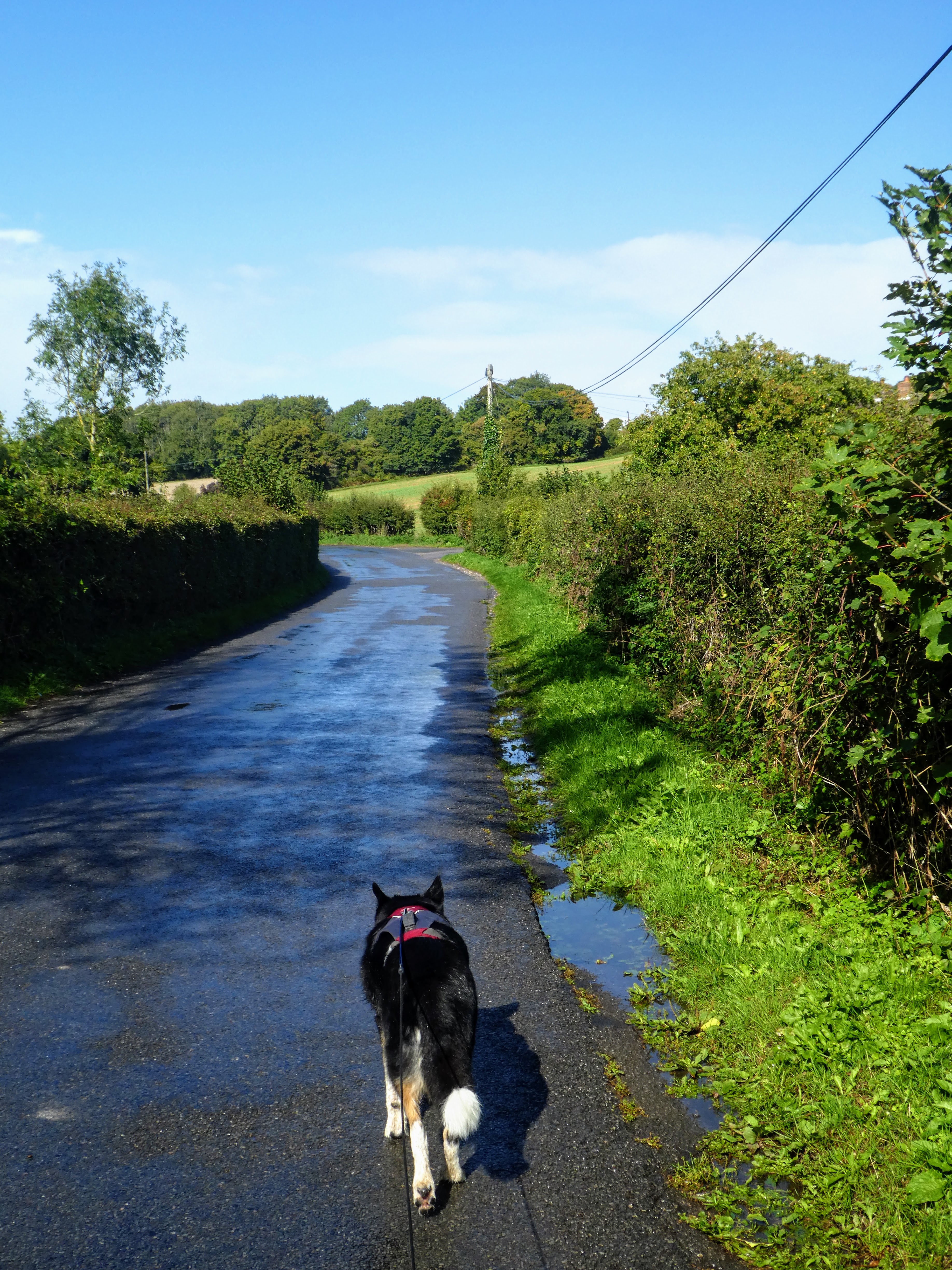
Parking amid the other vehicles between the pond and the church in Buriton. We
set out along a path beside the fields as the sun was just rising over the Downs
above us.
Shortly we came to a track angled up and across the slope to the Downs ridge, it
was called the Milky way presumably because of the chalk base. The track reached
the ridge and SDW beside a road.
The SW takes a path south off the road (and SDW) into the woods of Oakham with
occasional views across to the rail line at the end of the valley.
The path dove back into the woods contouring around to come out over the next
valley East, with views along the South Downs ridge.
The path joined a tarmacked road heading south towards the Ditcham Park School.
It was unfortunate that we joined the single track road at the same time as the
school run traffic was coming the other way (there is a single direction traffic
from the school), and we had to keep waiting for queues of cars to pass
until we could get to a wider verge.
The school nestled on the reverse slope.
Just past the school the track changed to a stony farm track (the vehicles used
the school drive). Continuing down to the woods - our earlier walk around here
had traversed these on the south side.
Beyond the woods the path takes a circuitous route around a slope to come out
due south. We continued down the track to Woodcroft farm. This was where we had
crossed over last time on the way to Chalton - we would catch up with this again
later.
Beyond the farm we walked down the back road to a cross roads then left up a
farm track to the edge of the woods.
Leaving the lane and turning south into crop fields on the grass beside the
greens.
Across a road and around a field looking over the hedge to the chapel of St.
Hubert standing on its own.
Beyond the chapel we climbed slightly to another wood, looking back to the
chapel standing out more from this direction.
Through the beech woods, and out into managed meadows with cut paths.
South Holt farm is another series of converted dwellings around a farm yard,
with a path wandering around the outside, then down a farm lane to some
outbuildings
Climbing up to a back road through a pasture field. then a slight zigzag on the
road before heading towards Stanstead forest.
Across the fields to the edge of the forest, and into some scrubby woodland at
the edge of the fields.
We did not actually enter the forest, but rather traversed along beside it
through a long thin cow pasture.
Approaching the town of Rowlands castle the path dropped through some
regenerated woodland before meeting the raod that crossed under the railway
line.
Alongside the town green to the church at the end then turning up a residential
lane to find a bridleway. We stopped for a "Bertie snack" beside the green on a
convenient park bench.
The bridle way went directly south past the hidden motte and Bailey remains of
the castle, then continued in the same direction along prospect lane. It started to drizzle along here, turning everything damp.
Along the lane were some cages and standing on a stump was this owl...
unfortunately out of focus. then through the outskirts of Havant to cross into
Staunton Country Park.
In the park we continued on the SW past a folly and some "exercise" structures,
now heading back north.
The SW followed a rough track through a coppice and beside a flattish grasslands
(now designated as a potential for a new reservoir). Back at the outskirts of
Rowlands Castle the track zigzagged around into Havant Thicket and then out onto
B2149. drizzle turning into rain, then clearing up as the sun came out briefly.
Up the road past the memorial to the troop presentation prior to D-Day, and we
were now back on the route we had previously followed.
The SW followed a serpentine route through the maze of back roads and across
part of the golf course and suburbs. Raining on and off through the streets.
The SW joins the SBP as we left Rowlands castle going through a huge arable
field. The path comes out onto a lane dropping down towards the railway line. The rain began once more.. not heavy but steady, however it stopped as we reached the lane.
Dropping down into the village of Finchdean passing the George pub. Along South
lane until we could pick up the path heading up the fields beside a wooded
hedge.
Looking across the valley to the route we followed south, and picking pout the
chapel standing on its own.
Continuing to climb gently up the slope with a few wiggles but generally
north following a hedge of trees. One of the copses is called The Folly on the
map, but this probably harks back to some reason lost in history.
Approaching the top if this slope we looked across to the Ditcham Park school
opposite.
Now on the top of the Chalton Down ridge the path went straight along passing
the tumuli on the summit
Teh view from West to north... lookign up the the South Downs ridge.
Dropping down to the village of Chalton in the trees below, the rain starting to drizzle once more.
Looking over to Windmill down, picking out the windmill on the top and also some
of the Butser Ancient farm buildings.
We arrived at the churchyard in Chalton, pausing in the lychgate for a snack and
escape from the rain, looking at the pub opposite.
Setting out on the last section, beyond the pub and up north lane, into a huge
field which is part of Chalton Park.
The path continued north through the field up to the wooded area of Queen
Elizabeth country park and forest. The rain paused for this section and we dried out.
Into the forested area and following a chalk track that contoured around.
We took a shortcut avoiding the diversion to the QE Country Park visitors centre
we continued on the chalk tracks north through the park, picking up the SW as it
dropped down to the car park at Hall's Hill. The rain started again, very heavily and the track became slippery
All that remained was to drop down the track to Buriton through the chalk pits
and lime works. Under the railway line and into the village. Not really looking around distracted by the still heavy rain.
Back at the pond and the van.. time to escape from the rain and have the remainder of lunch.