Although the day started off with a thick mist, the forecast was for it to clear away and for sunshine. The rest of the week was due to get worse so Bertie and I headed off to the South Downs. We aimed to start at a car park just south of Bramber, following the Downs Link all the way to its end in Shoreham. A visit to the shingle beach and then back via the airport up to Lancing College. Then up Lancing Ring and on to Steep Down following the ridge up to cross the South Downs Way to meet the Monarch's way. Down MW to the A283 below Bramber castle and picking up the Downs link back to the start.
We parked in the little area beside the roundabout where the A283 met the A2037, then walked down the A283 to the layby on the other side. Crossing the road at this time of the morning proved to be a little difficult.We followed the SDW West from the layby as it dropped down to the river Adur where we turn south onto the Downs Link. which had diverted from the line of the old railway to the river.
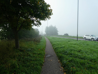
As we passed the old chalk pits factory we stayed on the DL as the river curved away in the mist
Remaining on the DL rather than the back of the river, as it straightened the curves out. The sun streaming through the mist.
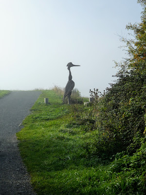
Approaching the cloverleaf where the A283 crosses the A27, the bridges appeared out of the mist and a wooden heron.
Still following the river the old bridge appeared out of the mist along with the sculpture at the town end.
The Dl was now paved as we followed the river into the town, although there was a small footpath on the side. The next bridge came out of the mist - the rail bridge.
The sun was starting to be dominant and we came to the end of the DL at the road bridge where eh A259 crosses the river. Underneath was some water based recue practicing going on.
At this point we had to leave the river, as the buildings now pushed over the banks, so we walked down the high street. At the Swing bridge - the last bridge over the river - we crossed over to the spit on the other side.
Looking down the river to the harbour area, and back up to the road bridge.
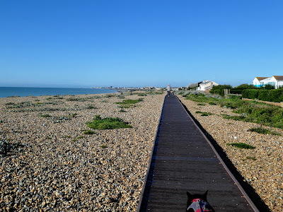
On the seaward side we cut over to the beach on Ferry road. The sea was calm, however Bertie did not want to walk over the shingle so we stayed on the boardwalk.
We followed the boardwalk west along the beach, looking along to Worthing and Littlehampton. We crossed the spit at the playing fields with the aim to pick up the footpath on the river side.
Unfortunately the footpath was on the raised bank and each mooring owned the steps up, so we had to walk along the streets until we crossed the A259. On the other side we skirted the dogs trust place in a large field
Under the rail bridge to come out beside the aerodrome with views up to Lancing College.
Now walking on a large bank bordering the salt marsh with old WWII pill boxes on one side and the airfield on the other. the Old bridge was clearer now with the mist dispersed.
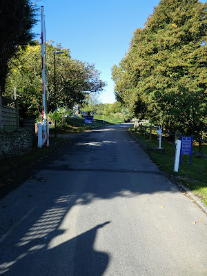
We left the river at the Ricardo's works crossing over the A27 at the traffic lights and into the grounds of the college.
Just past a row of houses we left the driveway and walked up a path following the college boundary climbing gently upwards.
Beyond Hoe Court Farm the path merged into a track, initially tarmacked but later degraded, and as it approached Lancing Ring, just a path.
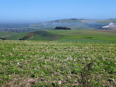
As we climbed up there were views all around with just a little mist remaining around the river in the valley.
We missed the ring as we avoided the crowds who had come up for the mid morning dog walk, continuing along the ridge to Steep Down
From the top of the Down we could see 360° around - the south downs way to the
north, the sea to the south.
Looking across the start point before dropping down to pick up a green lane heading north.
The lane gradually climbed back up to the skyline, passing a row of cars parked while they flew their model aircraft.
The lane merged onto a back road where we picked up the SDW still heading north until we reached the junction of the MW heading east.
Walking down this concrete road in a curve down into the valley below passing Maudlin farm where it undulated a bit adding to the climbs and descents.
The concrete road mutated into a tarmacked road - Sopers lane and when this ended on the outskirts of Steyning, we followed Maudlin lane until a path dropped through a pasture field to the roundabout below Bramber castle.
Here we joined the DL once more as it followed the A283, before it cut over the fields towards the river Adur.
The DL left the original rail line and bent over to the river, and across a foot bridge to the opposite bank. We left here to retrace our outward journey back to the van in the car park.
Through the layby and across the road before walking back up to the roundabout and the car park.
