There is a triangle of hills between the A24, A27 and A280, with Findon
at the base. The ridge line of these hills look over the back of the South
Downs one way and the sea the other. I picked out a route that went along the
ridge line to the point of the triangle then back along the other side. Then,
depending on the day there was an option to cross over and do a circuit of
Cissbury Ring. Today was the first real frost of the winter, and with clear
skies and full sun belying the cold temperature, it was too good a day to
ignore, so Bertie and I headed for Findon. We parked at the Bost Hill car park
at the end of a strip of land known as the Gallops.
From the largely empty car park we took the bridleway going north (away from the
gallops) through the horse fields.
At Roger's farm we picked up a driveway/ track which ended at some cottages,
where we moved onto a footpath around Church Hill.
The path came out on a driveway which we followed around the large house of
Findon Place.
Beyond the house and associated church the driveway mutated into a footpath
climbing alongside the woods below Church hill as we continued to circumnavigate
it. Opposite we could look across and up to Chanctonbury Ring on the SDW.
The path ended at the side of the A280 lookign across towards Chantry
Post. We continued to go around Church Hill away from the road.
Climbing up a farm track along the side of the hill, which eventually gave views
along the ridge line above the A280
On top of the ridge finally moving away from Church Hill, with good views along
the valley of Longfurlong. The path continued into Richardson's wood.
The path went into the woods and then across a series of fenced off glades that
seemed to repeat for many times ... crossing stiles at each fence.
Finally we came out into a field above the village of Clapham, and through the
churchyard.
Turning back towards High Salvington we did some zigzags to keep on footpaths
heading East, mainly on farm tracks. This included a section where I am not sure
was entirely public access, but it avoided having to cross the A27 twice.
Finally we ran out of options and had to drop down to the A27 at Cote, however
there was a pavement path beside it for the 100m to where we could leave it
behind.
Up the back lane to Cote Bottom, and a narrow path through the woods beside a
large hollow, and we came out at Honeysuckle lane green space - a large
protected field beside High Salvington.
Into the built-up area, along the streets past the old windmill (only open odd
days in summer).
Just beyond the windmill we dropped down a footpath in a series of zigzags into
the gallops. Looking across to Cissbury Ring on the other side of the valley.
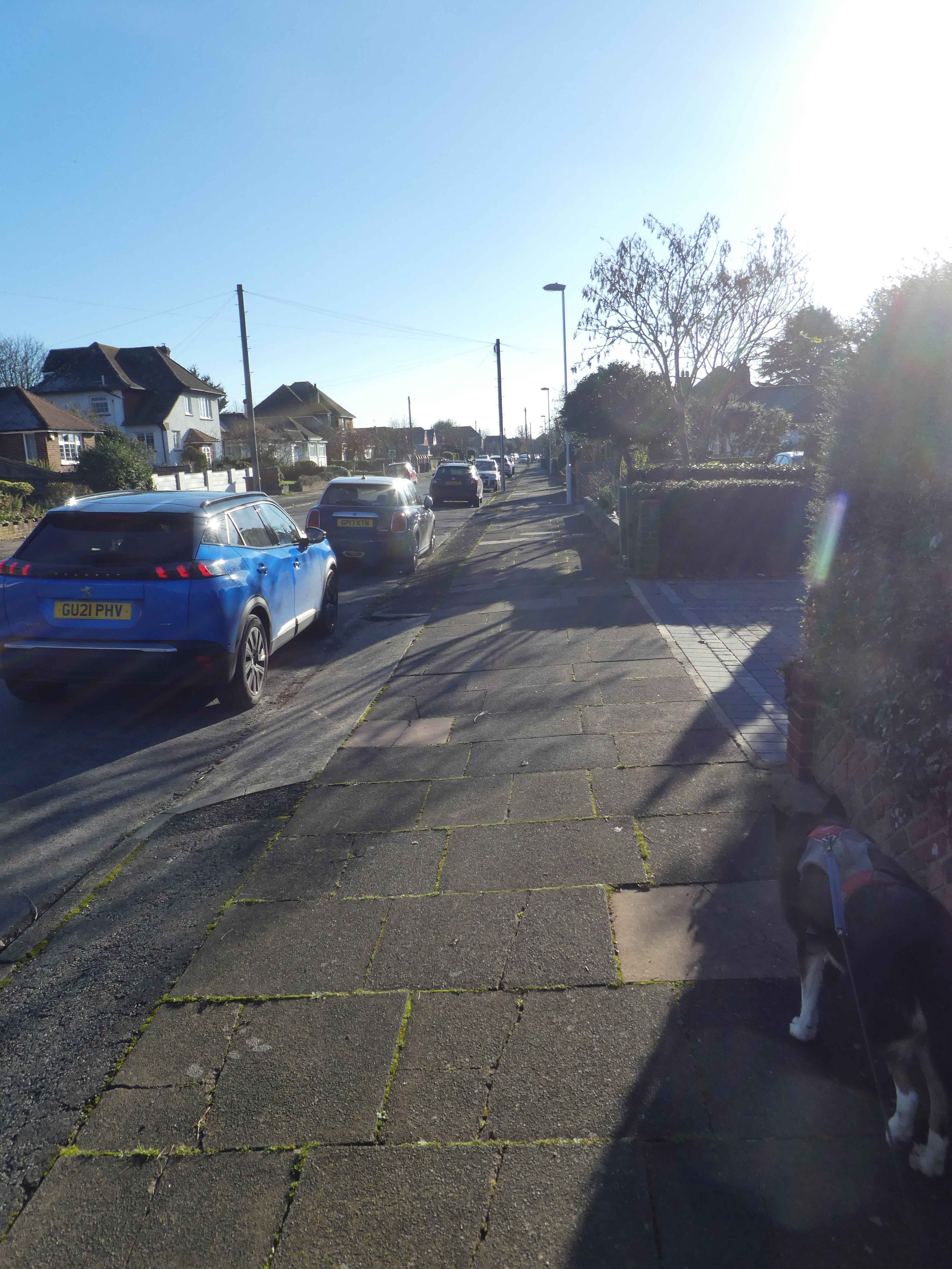
However to get across we had to navigate the residential streets and across the
A24, followed by more residential streets until we finally arrived at the
southerly of the Cissbury carparks.
Leaving he bridleway to cut diagonally up the hill, with glimpses over to the
old iron age settlement.
The final approach to the southern entrance to the settlement.
Walking over the top of the settlement, looking over to Chanctonbury Ring on the
downs ridge to the north.
Dropping down the opposite side to a junction of paths. From here we took the
one heading west and back towards the van - on the other side of the valley below the antennae.
The path came out in a field above the northernmost Cissbury car park. We crossed this then followed the approach road down to the A24 and across. On the other side we had to climb back up to the car park on the single lane approach road.
back at the car park, with views down the Gallops, where we could have shortened the walk if the weather had not been so good.