The last time we went to the north downs, there was a section around the M25/ M23 cloverleaf that we avoided, however I after thinking about it I planned a circuit to take it in starting from the national trust car park at Bransland wood. Getting there would involve travelling up the back roads parallel to the M23, passing outland windmill, however as we negotiated the narrow roads through Smallfield there was an abundance of signs indicating that there was a road closure on our route. With more hope than reason we continued past the repeated signs, and were really pleased to find that the closure was just past the car park, and we parked up before walking past it.
Up the road from the small car park, and down a drive way at the very spot where the road was closed. The drive curved past a house and continued West.A zigzag and the drive straightened up passing a big barn and towards a large horse stables. The drive was bounded by high hedges on each side.
Beyond the Park farm we crossed a back road and approached the M23 through a scrubby field before crossing the motorway on a foot bridge.
On the other side we walked through a nursing home and into Phillpotts wood leading down to the cross-country railway line.
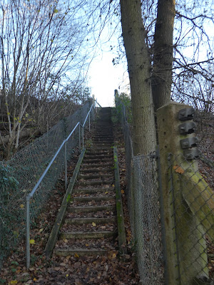
We had to climb up steps to walk over the lines and down the other side into a muddy field. We crossed this diagonally to meet the Greensand Way (GW).
The GW followed a back lane to the main street of South Nutfield, just north of the station (we had been here earlier in the year). We followed the road north on a pavement slightly detached to the left, to reach the other Nutfield village, and back to the fields.
The bushes parted to show the north downs opening up beyond us.
To get there we had to drop down through the grass fields. We came out beside the playing fields of Mercers Park. We crossed over diagonally towards the buildings on a back lane.
Up the lane - to our left was the car park for Mercers country park and lake but we did not see it behind the bushes. More fields and well trodden path through them led up to the edge of the motorway cloverleaf.
Beside the motorway was a scrubby area leading up to a wide path on the bank beside the busy throughfare.
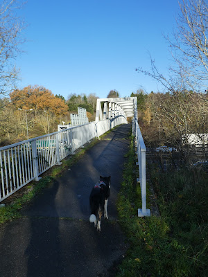
We followed the bank along the M25 towards Merstham. The traffic noise which had been like a tinnitus drone, but was now very invasive. Just before the railway, with views along to Reigate Hill. We crossed the M25 on an ornate foot bridge.
On the other side of the M25 we climbed up beside the sloping gardens of expensive houses and across a back road to reach (and go under) the M23
More climbing on the other side as we climbed up to the North Downs. Now on the ridge we met the North Downs Way (NDW) and turned East.
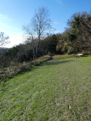
Looking south from the ridge into the sun.
The lane continued (now a trackway called Pilgrims' lane) past a collection of farm buildings, and a house with wrecked helicopters and plane parts outside it.
Still on the lane approaching Caterham we turned off the NDW into some woods to keep going east where the NDW curved further southeast.
To keep going East we had a bit of a tortuous path along side a row of houses dropping down into a more traditional housing estate.
The housing estate ended up opposite the Caterham school, and we took a road through the grounds and into Oldpark wood beyond.
We followed the wide track through the woods until it emerged into the sun at the viewpoint on the NDW. We stopped for a refreshment and look at the view.
Looking down to the the final motorway crossing, however we had to start going down the NDW through the woods.
Down a lane leaving the NDW, then zigzagging over the motorway. Beyond the M25 it merged into North Park Lane
We had planned to follow a track diagonally through the grass fields, but this had been subsumed into a sand quarry, so we continued on the road to North Park cottages, where we cut along a sand track beside the quarry, until we reached Bletchingley golf course.
The track wound through the course layout ending up at the club house.
Leaving the golf course and into the village of Bletchingley. Across the A25 and down the lane (this was the upper end of the road closure we met this morning). We left the lane when we met the GW climbing up beside a fence.
The track contoured around the top of Castle Hill, then dropped down beyond heading back across the fields towards our outward path.
Looking up to the top of castle hill both beside and from the bottom.
Across the fields past some ancient Oak and ash trees until we reached the railway once again. Here we had another climb and cross the rails
Down the other side and up the arable field to reach our outward track at the horse stables of the park.
All that remained was to follow the drive back across tot eh road (not forgetting the zigzag in the middle). Then back at the van for lunch and the journey home.


