31 January 2023

Bignor, Amberley & Madehurst Circuit, South Downs

A return visit to Bignor Hill car park was on the table for today, The idea was to park on the hill top and then walk back down to Bignor village, and across the bottom of the ridge to West Burton, Bury then Amberley. From Amberley up the hill to Whiteways, and on to Madehurst. A long wide curve around Dale Park, before returning to the car park along the direct bridleway.
A tortuous route to get to Bignor because of the landslip at Pulborough, followed by the drive up the single track leading up to the Bignor Hill Car Park. Leaving the car park and climbing up Bignor Hill along the SDW.
Over the top of the hill looking west along the South Downs in the early morning haze. Toby's Stone marked the beginning of the descent down the other side.
At the bottom of the valley we turned back on ourselves through Egg Bottom Coppice.
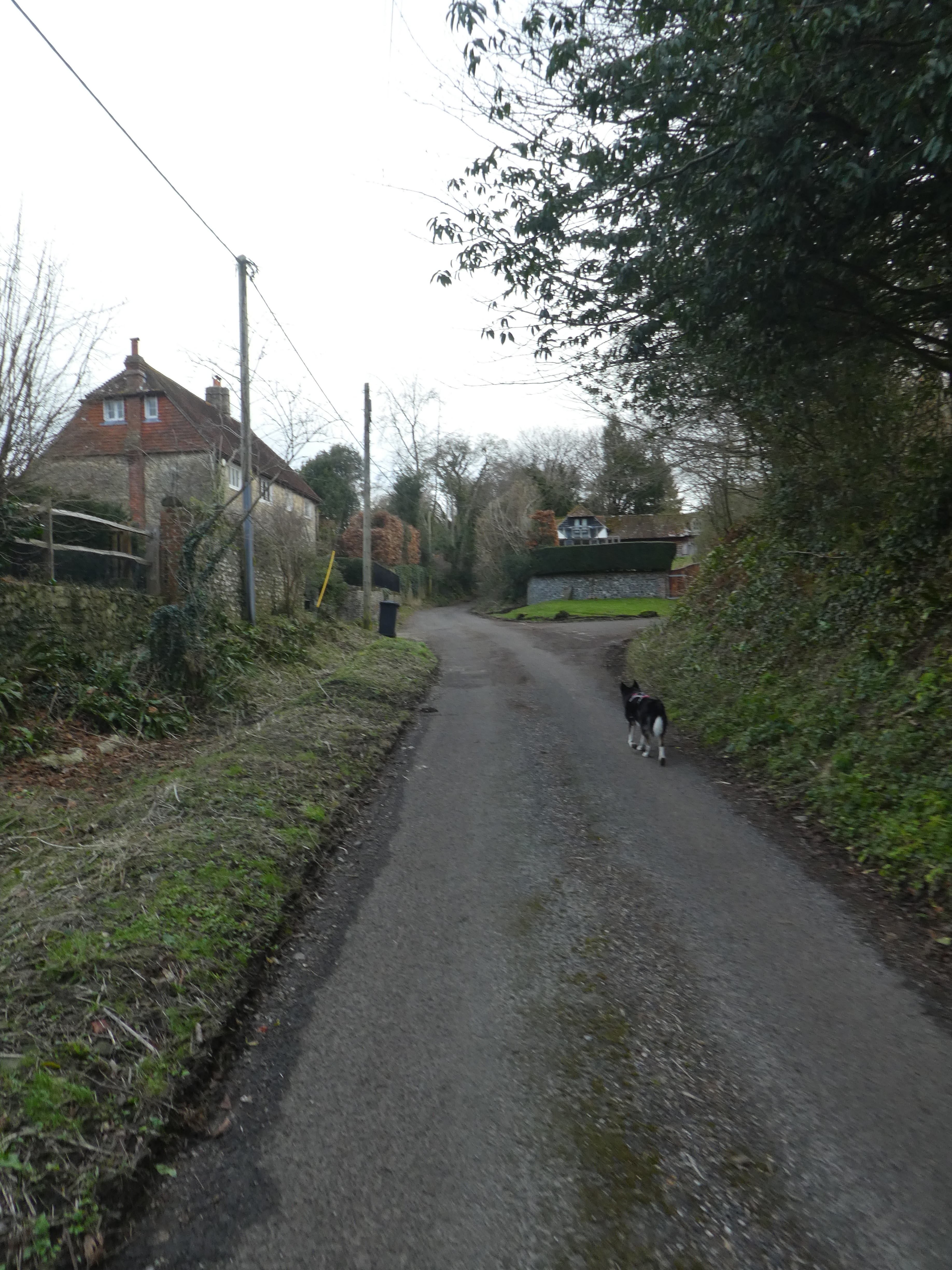
This led back to the access road at one of the steep sections, and we followed it down to the village of Bignor, and views along the base of the downs.
Walking below the roman villa complex, before crossing into the fields towards a footbridge in the corner. We were now following the West Sussex Literary Trail.
Alongside the next field and into the village of West Burton. Here we did a knights move around the village road
Near Cookes House we continued east down a little fenced off trail down to the stream.
Beyond the stream we climbed a slight bank and followed it towards the village of Bury. Across the A29 and down through some houses. 
Out the other side of the village we were back into fields before we arrived at the church.
At the village slipway we crossed to the edge of the river Arun, luckily the path was on a raised bank, which had kept it drier than the rest.
We followed the river down to Houghton Bridge near Amberley rail station. 
At the bridge we crossed over to the other side and continued along the river until we climbed to Houghton Farm, ten followed the road up past the George and Dragon pub
Picking up the Monarch's Way we climbed parallel to the B2139 following an ancient trackway, until it opened into a field.
We re-crossed the A29 to Whiteways car park, and a brief stop at the shack for a mid walk bacon bap, then on through the open area to the Madehurst back road.
From the road we dropped through the woods back towards the A29, then parallel to it
A step back towards Madehurst when the track ended climbing through the vines and down to New Barn Farm.
Along a long grassy swathe heading back towards the A29, As it approached we curved parallel and climbed slightly, still in grassy fields.
We were circling around the edge of Dale Park ending up at Chichester Lodge. At the lodge we had to look around for the bridleway which was hidden to the right of the track.
Through Baycombe Wood to come out at a clearing where the grassy swathe led all the way up to the downs ridge.
This "bridle road" headed straight up towards the Bignor Hill carp park. It went through three grass fields which could have been the track of a roman road.
At the woods closer to the ridge the straight line ended and we had to divert around through the open access woods to the side of Great Bottom. Then back along the top of the ridge.
The final slope up to the ridge and the car park.


28 January 2023

AAC south Coast Walk, South Coast

 We signed up for the January AAC walk... this was to be from Brighton to Newhaven along the coast path, an part of West Sussex we had not been on, so I was expecting a wander around the coast path and beaches. Not a quiet and secluded as I would have liked, but I guess for those from London it was. The day did not start well as we circled Brighton looking for the station car park. Not very well sign posted and we did end up going around in several circles before arriving just in time at the covered entrance. I had chosen the station car park as it was an all day price, and so freed us from any time constraints, however I should have brought the sat. nav. as well.

The car park was at the northern entrance to the station, so we walked around the side of the tracks to the front and latched on to a likely looking bunch of people waiting in the foyer. A bit nervous and snappy to start with, but calmed down later in the walk as things settled down, we signed in and once everyone else had arrived set off down to the beach.

Extremely busy (in our view) we walked through the streets down to the promenade. The beach here was empty apart from a few hardy souls, but we kept to the busier promenade.
We did eventually drop down to the beach as we neared the Palace pier, and past the fishing museum.
Then on past the arches of Madera terrace - currently being renovated, and on the other side the Volt electric railway. AS we passed Keptown we moved onto the beach (albeit on a metalized track laid over the pebbles).
Approaching the marina, there was still an "all weather" track we were on as it passed a lot of shingle "management" on the beaches. At the marina, we had to climb up in several zigzags to the top of the cliffs as the coast path was shut - a shame really.
Looking out over the marina to the sea beyond.

On the top of the cliff we followed a wide section of grass between the cliff edge and the A259, past Roedean school. Once we wee past the cliff danger area we could drop down once more to the coast path - still a very urbanised walkway with its inherent danger of cyclists and crowds.
We continued along the edge of the beach passing Rottingdean using the concreted walkway beneath the cliffs.
Underneath Rottingdean still on this pedestrianised "access for all" pathway
Until we could climb up the cliffs near the leisure pool at the boundary to Saltdean. I suspect the coast walk would have continued here, but I think this was to climb up for easier access to the pub later! It did mean we climbed up to the monument on the slight rise at the end of Saltdean.
From the war memorial, it was a short walk across the grassy swath to the pub and lunch. Actually better than it looked from outside, and because service we very quick we did not have to linger for vey long.
After lunch we continued along cliff top grassy area, passing Telscombe.
Into Peacehaven and the Greenwich Meridian memorial
From the memorial we could now see across to the start of the Seven Sisters beyond the inlet for Newhaven. The ferry from Dieppe was just coming in. We also passed some steps going down proving that there was a path on the beach side.
In place of walking around the end of the promontory and passing the fort, we went inland and up Peacehaven heights, [passing the less luxurious areas along this coastline.
Next following a grubby track past a holiday camp and up Rushy Hill and the TV mast. This was supposed to save a kilometre on the walk, however we diverted down a residential street (ostensibly to avoid a muddy section) which voided any savings.
This tedious walk down the hill on pavements ended opposite the ferry berth, and views out to the harbour entrance.
We then followed the quays alongside the harbour up to the swing bridge, and across it to get to arrive at the railway station. From here it was a 15 min wait for the next train to Brighton, and a 30 min train ride. Thankfully the car was close by and everyone else slept while I drove home.