In an attempt to limit the amount of mud we would have to walk through,
todays jaunt was to be on the south downs. Starting at the Coombe Rise car
park, on the outskirts of Findon, we would follow the golf course down to the
Worthing bypass, then around the back of the industrial estate until the path
merged onto the bypass road. Back up the hills and circling around to lancing
college, before climbing the hills again to cross over towards the river Adur.
Finally back across to Cissbury ring and hence to the car park.
Although it was clear at home, I had not accounted for the sea mist that was
banked up against the coastal foothills of the downs.
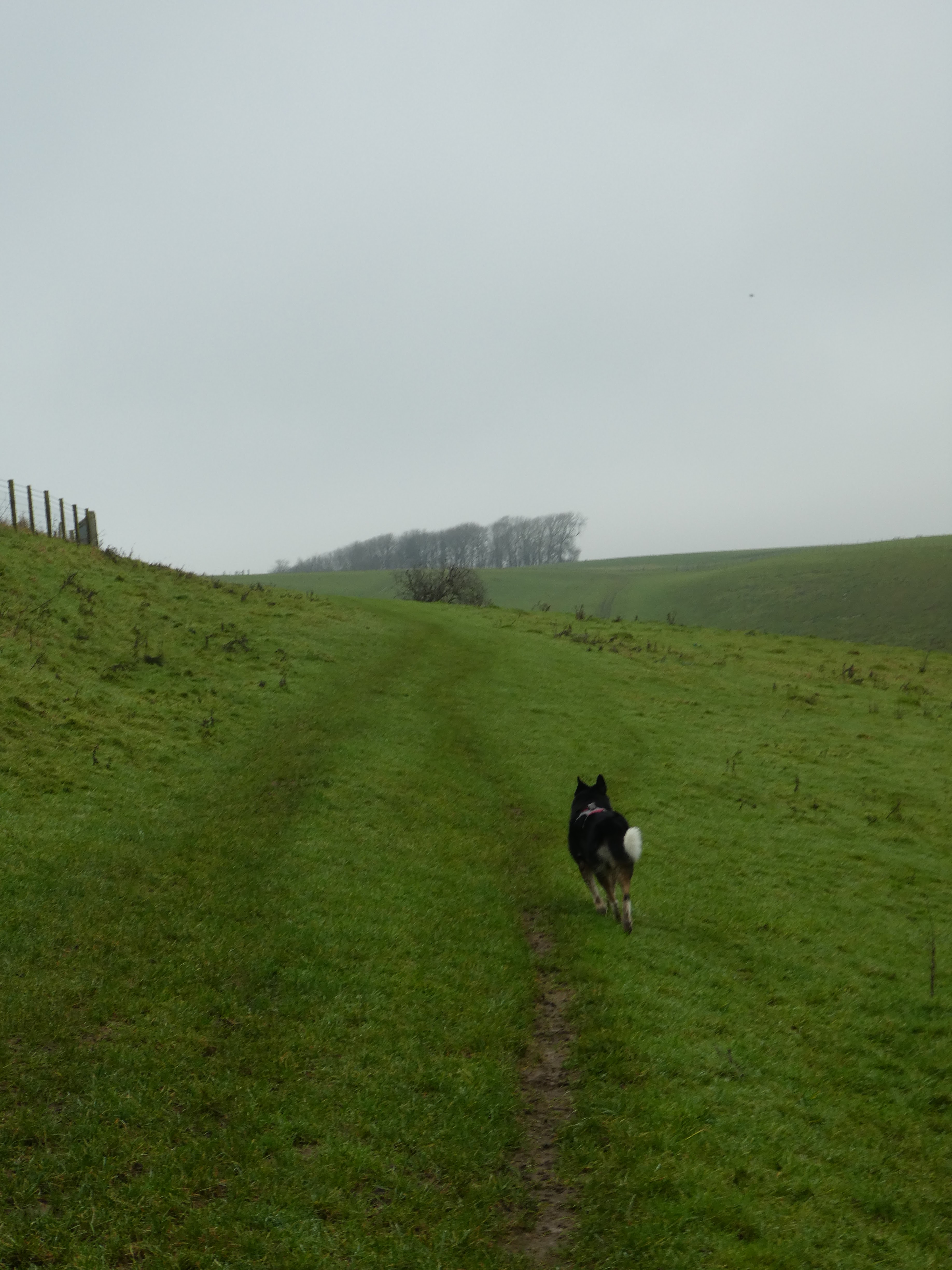
Climbing up away from the car park and into the fields above before reaching the
path on the ridge.
On the ridge we began the first of a series of knight's moves heading south and
east. Initially following the path between two neighbouring golf courses
A turn across the golf course on a path with high hedges on each side, with
occasional views across the swathes of green - although I am sure we were
following the path of a gas main. The path dropped down across a shallow valley
and up the otherside.
The next turn would follow the far edge of the course in the trees, on a muddy
but not excessively track.
Turning East again behind a housing estate, then south along on of the streets,
as there was no way across above the houses.
Regaining the original line east by going back up through the superstore park
and past the Worthing football club - probably the reason for no direct path!
Back heading east but now free for the built up areas.
Continuing across the fields the mist was more evident, limiting the views. We
continued east until we merged onto the A27 very briefly.
We climbed up Dankton lane past the pumping station, continuing on a green track
in the same direction, higher into the mist.
On the shoulder of Steep Down following the path as it curved around onto the
ridge. Definitely a time to practice the navigation techniques.
We then followed the ridge down to Lancing Ring nature reserve. We had been here
last year going in the other direction, but the path was familiar.
Time to turn north again, the path was somewhere across this valley, just not
where the map showed it to be - I even checked the OS mapping app. After
rechecking higher up, we followed down to find it at the field boundary.
Over the ridge and across the top to see the aptly named Cow bottom and its
hovel. We followed the obvious path down and up the otherside. Over this side of
the hills it was definitely much clearer.
We could now see over the river Adur to the large (defunct) chalk quarry. We
continued until above Coombes farm attraction.
We turned West towards Coombe head - the wood on the skyline. Initially it
looked like a drop then climb up, however our path contoured around the bowl
head.
We were heading back to Cissbury ring, initially following the ridge line, and
then a green lane.
Crossing a back road beside a parking spot looking across to the ring (the
wooded hill in the mist). Continuing on the green lane, that mutated into a farm
track with a few wide bends in the general direction.
At the bottom of the wooded slopes of Cissbury ring we turned back on ourselves
- with views back where we had come from, then another sharp turn to climb the
slope of the hill.
Climbing up to the ramparts on the top, but we did not go through the gate.
Keeping outside the NT area we followed a path around the edge that wound
through the top of a couple of valleys.
At the junction of paths below the south entrance to the ring, we turned to go
back to the car park - down the ridge.
Back at the junction where we started our knight's moves we turned down to the car park, and the van waiting there among all the dog walking transports.