After days of rain, today was clear and the sun was coming up. Bertie and I set
off for a day on the downs. The idea was to park up at Ditchling Common and walk
across the fields to the Downs, up and down a couple of times and then back
across the fields again to the common. We parked in the Commons car park - a
nature reserve just outside Burgess Hill - this was larger than expected adn
full of puddles.
Out of the car park and along the road for 100m before we turned down a lane
which led onto a grass field. The view opened out to the Downs, but also
introduced us to the under foot conditions of the day - waterlogged and very
muddy.
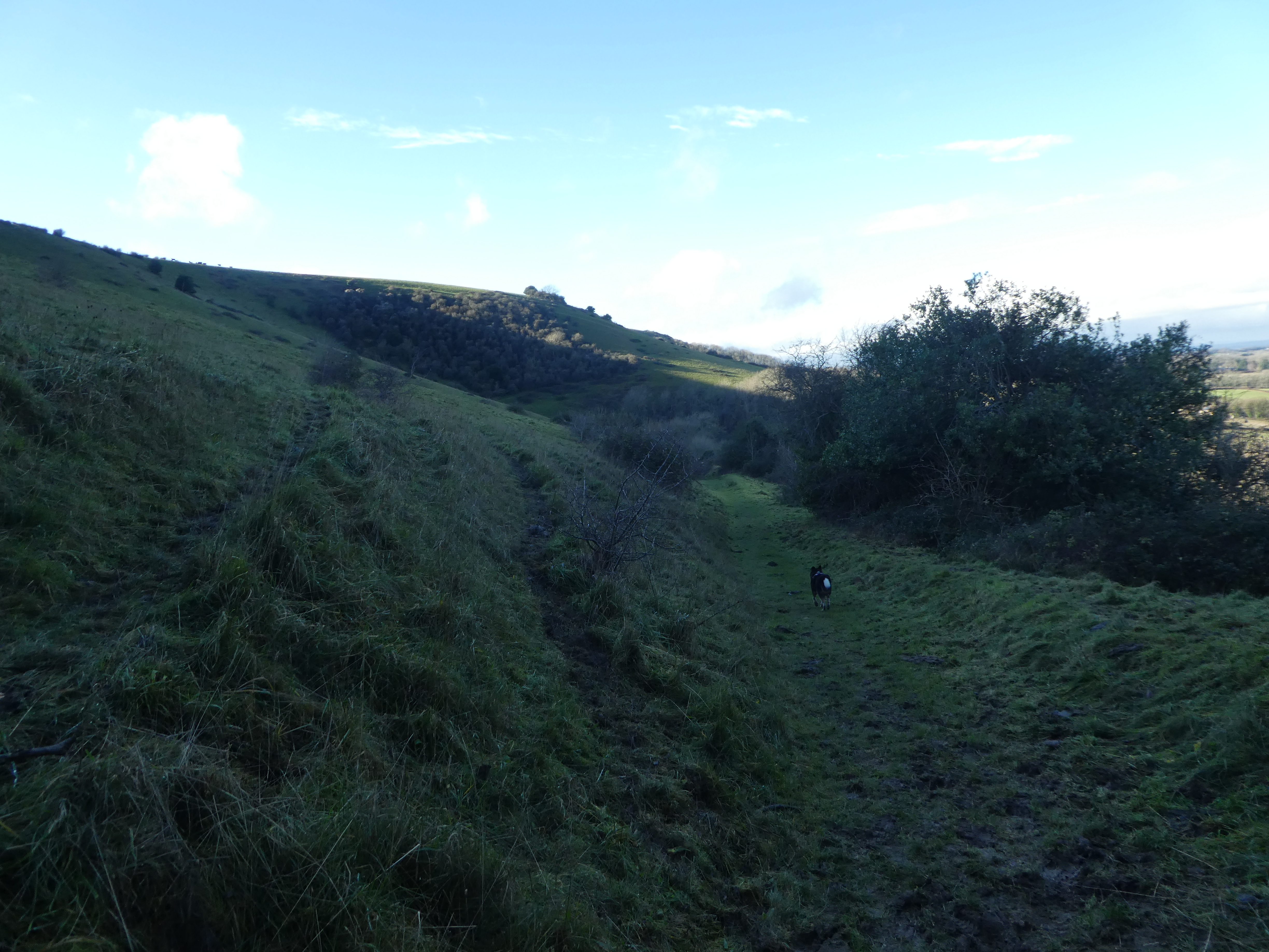
Over the railway line and more wet grass fields
The Path now followed a small stream inside some scrubby woodland, and became
even wetter. Near some greenhouses we missed the signs for the border path and
followed a much more used footpath - both going to the same place. Our path
followed the edge of several fields in a narrow fenced channel - offering very
challenging environment to minimise the mud baths.
Rejoining the border path at the end of a row of houses (the last one have a
series of large duck ponds) and into some wet grass fields - but infinitely
better than the narrow mud trials we had just been through.
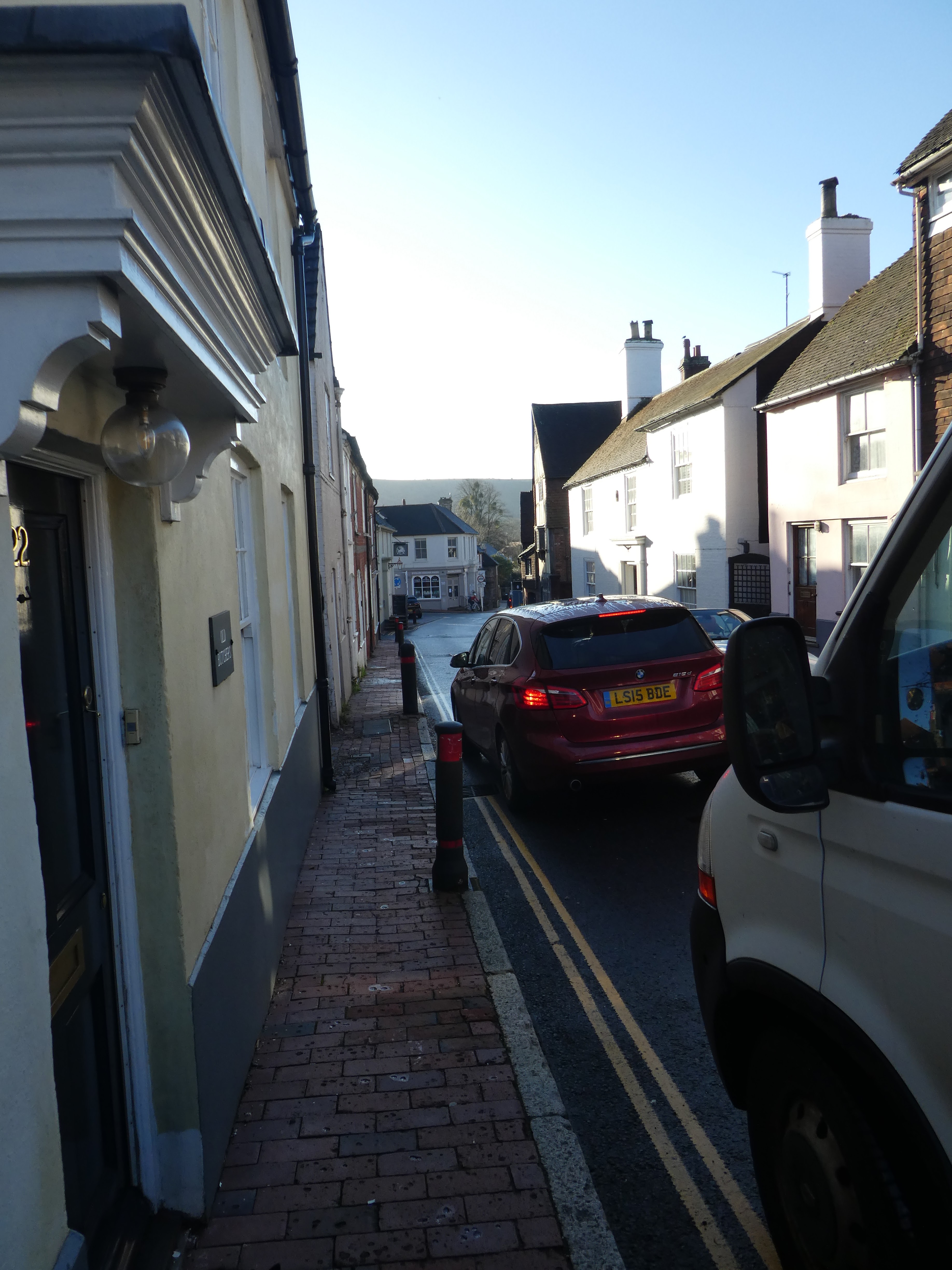
We approached the village of Ditchling, adn turned down the B2112. The narrow
streets caused disruption in the pinch points when a large noisy sports car
tried to force its way through (and failed).
We left the village where the road to Ditchling beacon parted from the B2112,
and after working through the suburbs returned to the grass fields. Passing Park
Barn farm the track became a river - no choice but to wade up it to Underhill
lane where we could escape.
Beyond the lane we followed a green lane to the base of the slope, and then a
diagonal track up to the ridge
The track topped the ridge above a bowl where we had a good view back down to
our ,muddy way so far.
We stayed on the north side of the ridge and followed the edge of the open
access area, before crossing over to the SDW when some cattle blocked our way.
As we approached the beacon summit, we turned north down the slope on another
angled track. this time similar to a rampart and ditch curving down around the
bowl.
After a diversion to avoid a cliff we crossed a junction of paths and descended
a very slippy chalk path down to the bottom Ditchling Beacon car park.
Opposite the car park we followed a back road until we could turn up a chalk
track leading back up the hill. This track had an old notice saying it was
closed, but there was plenty of evidence that people were still using it, so we
headed up.
The track became narrower after the tree work had ended and we climbed back up
to the ridge, coming out at the point where the road summited.
Back on the ridge and following the SDW across Western Brow to Streat Hill.
Looking both north and south from the ridge
At the drive to Streatham farm a mobile coffee shop was doing brisk business,
and as we past we noticed a lot of horse riders. Climbing up the slope beyond
towards Plumpton Plain there were a number of people hanging around.
As the hunt charged up the slope behind us we dropped down the track called
Plumpton Bostall - a broken up concrete track dropping down towards the college.
We left the track and traversed the slope to look down on Plumpton Place.
Coming out opposite the entrance to the college we then followed the main drive
through the buildings and out past the stables.
Our path now took us across the horse fields - heavily waterlogged and churned
up, then across a turnip field, and into another (via a short wooded section).
This last one had sheep in it and even more churned up.
A welcome bridge over a stream and steps beyond up the slope. Then a climb
beside horse fields up to the lane serving the houses of the village of
Streat.
The lane ended at the big house where we had to curve around the disused
church
The lane led to a byway ... initially tarmacked and then hardcore, heading
directly north to the railway line. This was a welcome relief to the mudfest we
had cross up to now.
Across a stream and under the rail line before back on the mud... this
time up beside a vineyard to the woods at the top of the slope.
The bridleway through the woods (Blackbrook wood) was excessively waterlogged,
and where we could we diverted through the trees. This was very heavy going and
Wellies would have been better.
The final stretch was up to the Ditchling common industrial estate, and following the boundary into the country park. Back across to the car park and before Bertie got in he had to have an allover towel down.