It was overcast and slightly threatening a bit of rain, so today I though about going to the greensand ridge for the first time this year. The aim was to park in one of the Hurtwood car parks and cross though the middle of the north side woods to Holmbury St Mary. From here work up to Abinger Common before turning back, going through Sutton Abinger, and across the fields to Peaslake. Continuing West to the bottom of Winterfold Wood, before climbing back up to the car park.
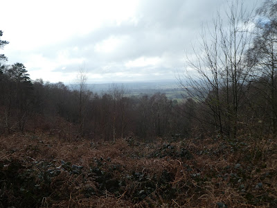
We parked at the first Hurtwood car park we arrived at up the single track road leading from Smithwood common - slightly set above the road. From here we followed the Greensand Way east along the top of the ridge, with occasional views through the trees to the south.Beside the second Hurtwood car park we crossed over the back road and down into Winterfold Wood. Taking one of the footpaths through the private area. At a crossroads of tracks there was a lot of activity building a platform - presumably for some filming.
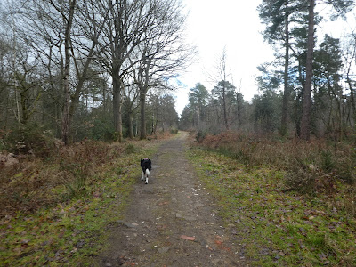
From the crossroads we followed the path heading east across the woods - sometimes on a track and on paths when the track meandered off the straight. We did pass some more strange structures on the way and a "refreshments area"
The path undulated up and down each of the gullies dropping from the ridge to the south, leaving Winterfold wood and into Hurt Wood.
Crossing a couple of back roads and a change of tree structure, we dropped down to Gasson farm, before climbing very steeply up to Radnor road.
The second half of Hurt Wood structure changed again as it became more sandy with the addition of gorse, beside wide tracks. The straight line across Hurt Wood ended at a crossroads. We slipped slightly sideways to continue going East.
We dropped down a steep slope into the edge of Holmbury St Mary, on to Felday Glade which we followed to the B2126.
We crossed over the stream below the village and followed a path around pasture wood, before climbing up to the edge of Abinger Common village.
Into the church yard and out the side which led into open fields with views across to the North Downs. From Raikes Farm we dropped down the back road into Sutton Abinger
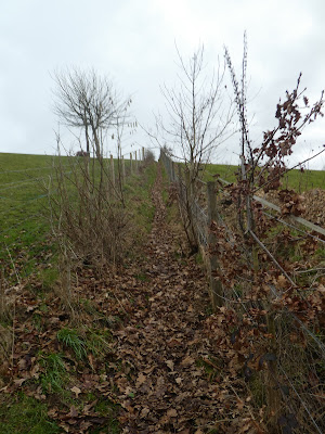
Out the other side of the village and up a narrow path between horse fields, before picking up a private estate road to Sutton Place.
The next section was a mixture of walking through grass fields and along back roads as we wiggled along heading west through Peaslake and various farm houses.
Just after Lockhurst hatch farm we turned south into the tip of Winterfold Wood, and followed the path beside the stream.
The valley steepened as we followed it upstream with a lot of forestry clearing having been taking place. Eventually we arrived at the crossroads with the large platform being constructed that we saw on the way out this morning.
From the cross roads we left the private woodland area and back onto the heathland. We followed some powerlines up to the ridgeline and a point where we met the greensand way.
Back along the Greensand way to the car park and lunch.


