There was supposed to be a break in the rain/ sleet/ high wind we had been subjected to for the last few days, so Bertie and I headed off to Selborne to continue down the Hangers Way towards Petersfield. The aim was to follow the trail down over Noar Hill, around Hawkley Hanger, through Hawkley and Oakshott villages and climb up the Shoulder of Mutton Hill. Leaving the Hangers Way to climb Ashford Hill and start the return, winding through the lanes and fields passing Wealdon Edge hanger, returning the the Hangers way after more contortions. Finally going around Noar Hill the opposite side and up towards Selborne Hill, finally going down the zigzag path back to the car park.
We parked int he Selborne village car park, in much the same place as last time. This time we headed off down the road beside it rather than climbing up to Selborne Common. The HW followed the access road to a number of houses, before following a field above the farm track.The path passed into fields, before turning down to pass Homestead farm. Crossing the back road and down a further back road opposite.
Cutting up a green lane leading to the Noar Hill nature reserve, which climbed up gently. The HW curves around the reserve above High Wood Hanger.
A large U-turn around the end of the hill on a bridleway, before steeply dropping down the south edge. It began to rain a bit here and I had to put on a jacket.
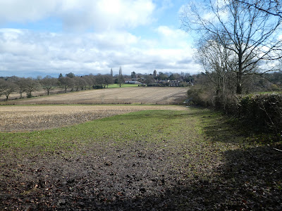
Across the fields below the Hill and a watersplash to continue in another field.
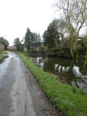
The path came out onto a back road beside Vann house and farm - noticeable for its pond - A part of the garden beside the road.
Beyond the farm the HW curved up through the fields and along side the slopes, crossing a spring using two sets of steps.
The HW contoured around the side of Hawkley Hanger, before crossing the fields to the village of the same name. The rain had stopped, luckily for the last time.
Across the village green, and past the church before continuing south looking over to Wheatham Hill
The paths so far had been muddy, but as we crossed over to Oakshott they became very slippy as well - traversing the slope. Getting closer to the climb up to the Shoulder of Mutton - not very impressive from this side.
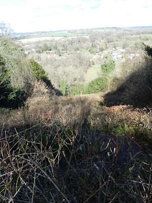
The final steep slope up followed by more sustained but shallower slopes. Up on the ridge with the views south from the view point.
From the viewpoint the HW drops down and along the south side. Contouring around inside the trees and scrub of the nature reserve. The path wound in and out of all the curves before we left the HW - to be continued another day.
We climbed back up Lutcombe bottom on a connecting bridleway that joined a back road at Green Forde farm. We followed the road down to a junction beside the Trooper Inn. Down the joining back road, until we could finally get back to the fields. Through the fields to Warren Corner.
The original aim was to cross into Wealdon Edge Hanger and follow a path through it, however when we got there it was all unmanaged and the path lost. We stumbled along until we found a path that dropped down one of the sides.
The path we were on joined a bridleway that came out onto a back road. Following the back road climbing up the slopes to a house marked as Manor house on the map.
We now crossed the fields climbing up the other side of Hawkley Hanger, and then doubled back to drop down onto the HW.
We followed the HW back the way we had come, passing the double staircase, and back to Vann house and its pond.
We climbed up to Noar Hill Common - there is a lot of climbing on this walk - continuing the circumnavigation of this hill, until we reached King's farm.
Approaching Selborne common from the south across the fields, and up a green lane.
Into the nature reserve area, climbing up to the main ridge - the path here was extremely muddy and very wide, especially where the ash dieback logging had gone on.
In an attempt to bypass the mud we diverted to the side a little before being forced back onto the main bridleway. Ending up at the view point looking down on Selborne village.
We dropped downt he zigzag path (we had climbed it on part 1 of the HW walk... it is just as daunting going down as up
Back in the car park for lunch and coffee - now a bit fuller than when we had left.


