More blue skies and sun, and I determined that the muddy paths may have dried enough to complete the last section of the Hangers way from Ashford hanger down to Buriton. The aim was to park in the Buriton pond car park, and walk around to Ashford and the Shoulder of Mutton via Weston and Stroud, then back down the Hangers way to Steep and Petersfield, before the final section down to Buriton.
We drove across to Haslemere then down the A3 to get to Buriton, and parked in the car park beside the pond below St Mary's church.
We left the village on a limited access back road, before cutting over the fields towards the A3 and the main access road for Buriton. We re-joined the main access road then followed it over the railway line and a roundabout so we could cross under the A3.On the other side we followed another limited access road to the hamlet of Weston. At the end of the road we continued on a farm lane beyond Dean's farm past the woods and into the fields beyond.
We crossed the grass fields to Stroud bridge and teh back road leading to the village of Stroud.
Through the village of Stroud and across the sheep nursery fields beside Rothercombe farm.
Still in the nursery fields with new born lambs and their mothers climbing up to Cold Hill.
IN the woods at teh edge of Great Hanger, and then crossing the rapeseed fields to Ridge farm - on a narrow lane rather than the back road on the map.
Across the lane and through the grass fields beyond - really just to avoid a trudge up the lane, as the next section will be just that.
Back to the lane where it mutated into a byway - ridge top lane, and along this above Lythe Hanger. A long trudge along the lane with views obscured by the trees around.
The lane merged with a back road, before separating again at Stoner Hill. I had hoped to be able to contour around this as it was open access land, however the only track was the byway dropping down to a second back road.
The back road was far busier than expected and we had to endure the traffic speeding down the hill as we would up it in a huge S shape. Eventually we could access Ashford hanger and drop down the bridleway to join up where we had left the Hangers way last time.
At the bottom of the slope we settled on a track beside a stream with several ponds, before leaving the nature reserve passing a large walled garden of Ashford Chace.
Down a driveway than changed into a path at the house gates still following the stream.
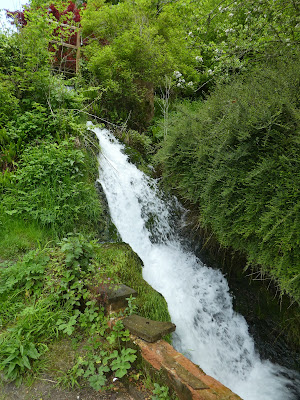
The stream came out at a small waterfall (and presumably the site of an old mill). We crossed over a back road and alongside Northfield wood.
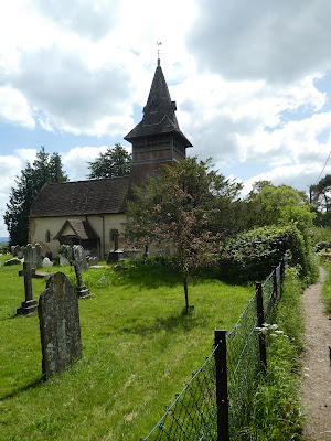
Into the wood to come out in the playing fields of Steep opposite the church. Then down beside it into Warren Copse, beside Bedales school.
Continuing over the A3 on a footbridge and across some scrub to the outskirts of Petersfield.
We then wound through the residential lanes and commercial streets of Petersfield.
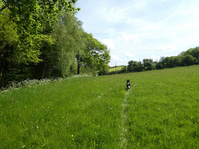
Out through the other side of the town through a prestigious development next to a caravan park, and finally out into the grass fields beyond.
The Hangers way followed a track through various fields.
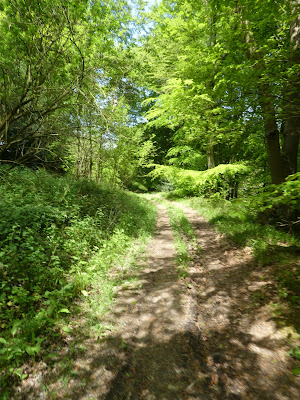
The track followed a narrow valley between two wooded areas - Hoadlands crundle and Pilmead row. as we cleared the trees we could see down to the south downs ridge beyond.
SAtill following the narrow valley down into the village of Buriton, and hence back to the church and the village pond.


