After a lazy day yesterday, time to get back on the treadmill. I planned
to start in Leith Hill Place, and cross over to Holmbury Hill - climbing up to
the iron age fort. Dropping down to Ewhurst then on beyond towards the Horsham
road, before turning back East. Crossing back to Ockley and working up and
back into the Leith Hill Place estate, before returning to the van.
We parked in the small car park of Etherley Copse - at the bottom of the Leith
Hill Place woods - and after getting ready, wandered up the track leading into
the woods. Zigzagging along the tracks and picking up first the Purple then the
Orange track through the woods
Continuing in the woods following the marked trails until we stepped out onto
Tanhurst Lane, and across to the path running beside the driveway to
Tanhurst.
Behind Tanhurst we crossed an old track way and continued through the woods on
tracks. Passing through Upfolds farm and down its derive to the B2126.
Through the field on the other side looking to the forests of Holmbury Hill.
Across a back road and a very steep climb up the side of the hill following
telephone lines.
The iron age fort on the top of the hill,.
Descending down the south side, we missed the direct descent and followed a
cycle way that contoured dropping back the way we had come, before following a
back road back to where we should have come down.
A path around Holmbury House and past the school behind Radnor house. Here all
the signs got messed up but we followed the obvious line and onto Sherborne
Lane
Down the lane - initially a vehicle track, but later just a green lane. Across
to Radnor Place farm then a track beside grass fields.
Out towards Bramblehurst farm, and then down its drive to the outskirts of
Ewhurst. Back along the B2127 to stay outside the village
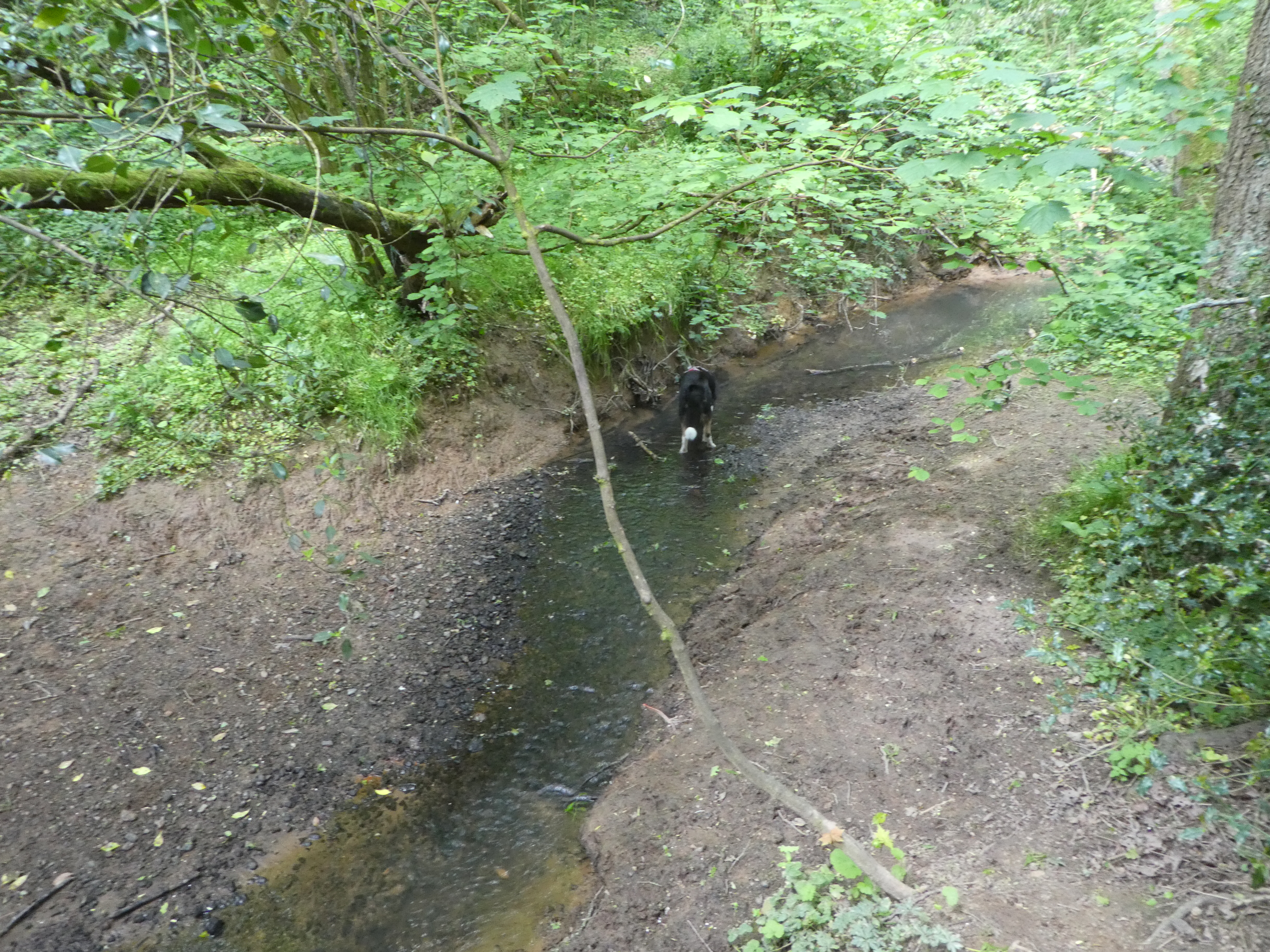
Down a bridleway into some woods with suitable streams for dog swimming (and a
school outing).
Across a footbridge and out into the fields once again. Staying on the path as
it curved around and across Plough Lane.
Across the lane and through some open fields into the woods beyond.
Some jiggery-pokery alongside some horse fields where the path was obscured then
emerging at a new housing development that had re-routed the path around their
extensive grounds. Then continuing on the original path through more horse
fields.
Picking up Lowerhouse Lane, which we followed up to Lower Breache road, where we
turned sharply down the driveway to Lowerhouse Farm.
The path curved away from the driveway, and over a small hillock and down the
driveway for Mayes Court, with views up to Holmbury Hill. The driveway passed
Wollards farm and ended at a back road in Mayes Green.
A byway on the other side continued in the same direction into woods and across
a few streams - one with a ford. The lane continued past Pisley and Fishfold
farms to end at Mole street.
Across the back road and down a path into more woods. The path comes out into
fields near the village of Ockley
The pond below Jayes Park - now a business park.
Looking across the fields towards Leith Hill Tower standing out in the notch,
then climbing up to the farm.
Jayes Park - No longer a farm but a business park, then down the drive to the
B2126 (Forest Green Road)
Down a driveway that changed into a path behind the last barn, and the arable
fields beyond. Then into Church wood (and back into Leith Hill Place estate).
We picked up the Purple route in the woods and followed it out into the grass
fields beyond. Across Abinger road and still on the purple track alongside grass
fields.
Back in the woods we left the Purple route where we had picked it up at the start of our walk, reversing our initial steps on the track back to the car park and the van