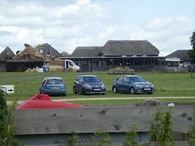
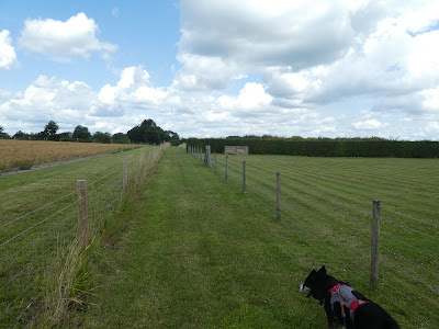
We parked up the road High Titten - part of the SDW - where it ends there are
a few places to leave vehicles.
We dropped down Mill Lane to get to Amberley village, although there was a lorry
blocking the whole lane as it unloaded diggers. Across the B2139 and into the
village. A zigzag through teh middle got us to the other side.Down the back lane to get down to the well named Amberley swamp, then continuing on the green lane as it crossed the brooks.
Across the brooks, the lane mutated into a path, and wandered around some woods, with duck boards underneath.
The nature reserve ended as we returned to farm land, and set off down the farm lane, before cutting the corner off along the river Arun.
The path crossed the river using Greatham bridge then we picked up the route of the Wey and Arun canal through Waltham brooks as we used it to go around Coldwaltham.
Leaving this second brooks and across the flood plain to Watersfield, where we joined a backroad into the centre.
Across the A29 and down the lane opposite leading to Coldwaltham farm. Across a back road and into Waltham park - a wooded area.
Through this wood and across several grass fields we crossed the B2138, and joined the Serpents Way down through an industrial unit (mainly a sofa manufacturing units).
Following the track behind the units we dropped down into Coates common - this was a private wood with just the track through it.
We left the Serpents Way as we came to Sutton Common, where we turned towards Bignor. We left the track to follow a smaller path through the open access area, although we did have to go around a stone quarry.
Across a back road and into Decoy copse, then through some fallow areas and the strangely names hospital copse.
We dropped down to Bignor Park - a big house, with a footpath right through it. Beyond the house we entered a cow field and had to rush over to the other side before they noticed.
We then climbed up a steep(ish) bank which was blocking the view south.
The top of the bank the view opened out to the south downs beyond, we paused
for a drink on a convenient bench much to the annoyance of the sheep who were
scared of Bertie.
The path went around the edge of the field and down past Manor farm buildings into the village of Bognor.
In the village we turned down a lane that came out in a sunflower and pumpkin field. Across this, to cross the driveway for Bignor Villa - a roman site.
Past the villa and through more crop fields, ending at a house - Hadworth Barn - where we walked around the boundary and onto a path leading back to the steep bank.
Along the top of the steep bank above Grevatt wood. Across a back road and down to Hale Hill farm. Beyond the farm we entered a wood, startling several deer.
A strange sharp turn around the woods and across several cow fields - Bertie managing to keep away even when a young one got curious.
Passing past Southview farm and across more fields to arrive at the A29 in the village of Bury.
Through the fields behind Bury to reach the river Arun.
Following he river south and crossing the very over engineered foot bridge (ignoring the three boys swimming in the river.
We now followed the SDW across the fields then up passing the sewage works to reach the B2139.
Still on the SDW along the B2139 until we reached the end of High Titten. Then up the back road (still on the SDW) and back to the van and lunch.


