We had some heavy rain recently so I chose a walk around Hayling Island as an
escape from muddy fields. The idea was to park at one of the car parks just
over the causeway at the head of the island and then go down the Bill line to
the the bottom, across to the western horn, then along the base to the eastern
horn, from there it would depend on how much of the eastern side of the island
we could cover to return to the car park.
We crossed the causeway in a queue of vehicles and so missed the hidden turnings
for both the top two car parks. So after using a backroad to turn around in we
returned to the second of the car parks (the first going back) as i had seen the
entrance just after a petrol station and as such could easily get prepared in
the traffic queue. The car park was a shingle affair across the byway of the
"Billy Line" - an old railway track.
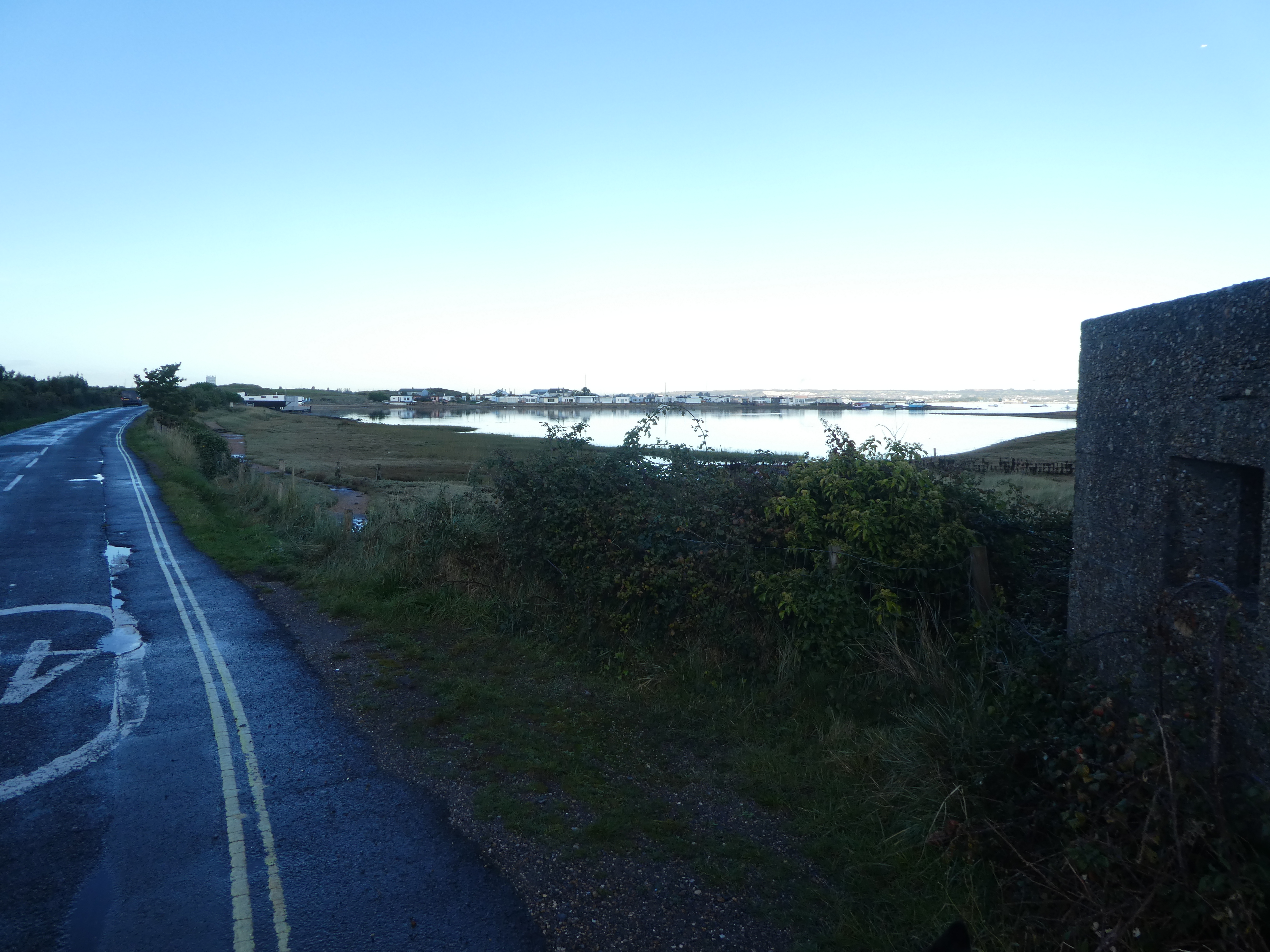
Off down the track heading south along the coastline, cutting over a few of the
ins and outs of the marsh. Around the inlet of Langstone harbour
Continuing along the Billy line as it followed the wester edge of the island.
Approaching the head of the island where the horns spread out, we stayed on the
edge of the water for as long as we could before the path ran out and we were
forced into the residential housing of the suburbs. Here we were forced to
zigzag through the estates to reach the ferry road.
An overgrown path cut around the edge of the houses and came out opposite Sinah
park - an old WWII anti-aircraft gun battery. We used the park to avoid a part
of the ferry road, but had to return to it to go past a holiday village.
At the Kench we avoided a short section until we were forced back to the road
past boat houses.
The end of the road at the
ferry ramp (not there but supposedly
running all year). We bypassed the pub and the café as we crossed to the beach
beyond.
Around the corner of the horn and onto the beach
The initial part of the beach is shingle over sand ... fairly solid down
by the water.
Beside the first carpark (paid by the hour) we moved inland as the beach was now
wholly shingle to try and make the walking slightly easier.
We passed the terminus for the Hayling Seaside Railway, then passing the
amusement arcades and rides. A bit tacky and grungy.
More shingle as we followed the edge of the town along - a sunken path provided
the promenade, but we stuck to the top of the shingle berm. We could not go onto
the beach as the groynes (initially wooden, then rocks)
At the end of the town we reached Sandy Point nature reserve, and things got
very much better, the path improved and we could walk along the beach. We went
around the end of the horn and up passing the lifeboat station to the yacht
club.
We continued up the beach to Black Point - Bertie event went for a swim
Then we turned around the end of the point and back down the island side until
we reached the back of the lifeboat station. As we climbed out of the inlet it
started raining... initially a few spots then a complete deluge ... we were both
soaked in a few minutes.
The rain finally stopped after 15 mins or so, as we were negotiating the roads
of the town working our way back to the middle point. From here we then took a
path around the holiday villages and caravan parks of Selsmore peninsular.
Around the end of the point and up to the yacht club (there are several on this
island).
Behind the yacht club The path meandered around between boat yards and houses
until returning to the suburban streets. We followed these across to meet the
back road at Mengham.
we left the roads along a path through fields to Mengaham house, where we missed
the entrance to the continuation and had to double back - the path was hidden
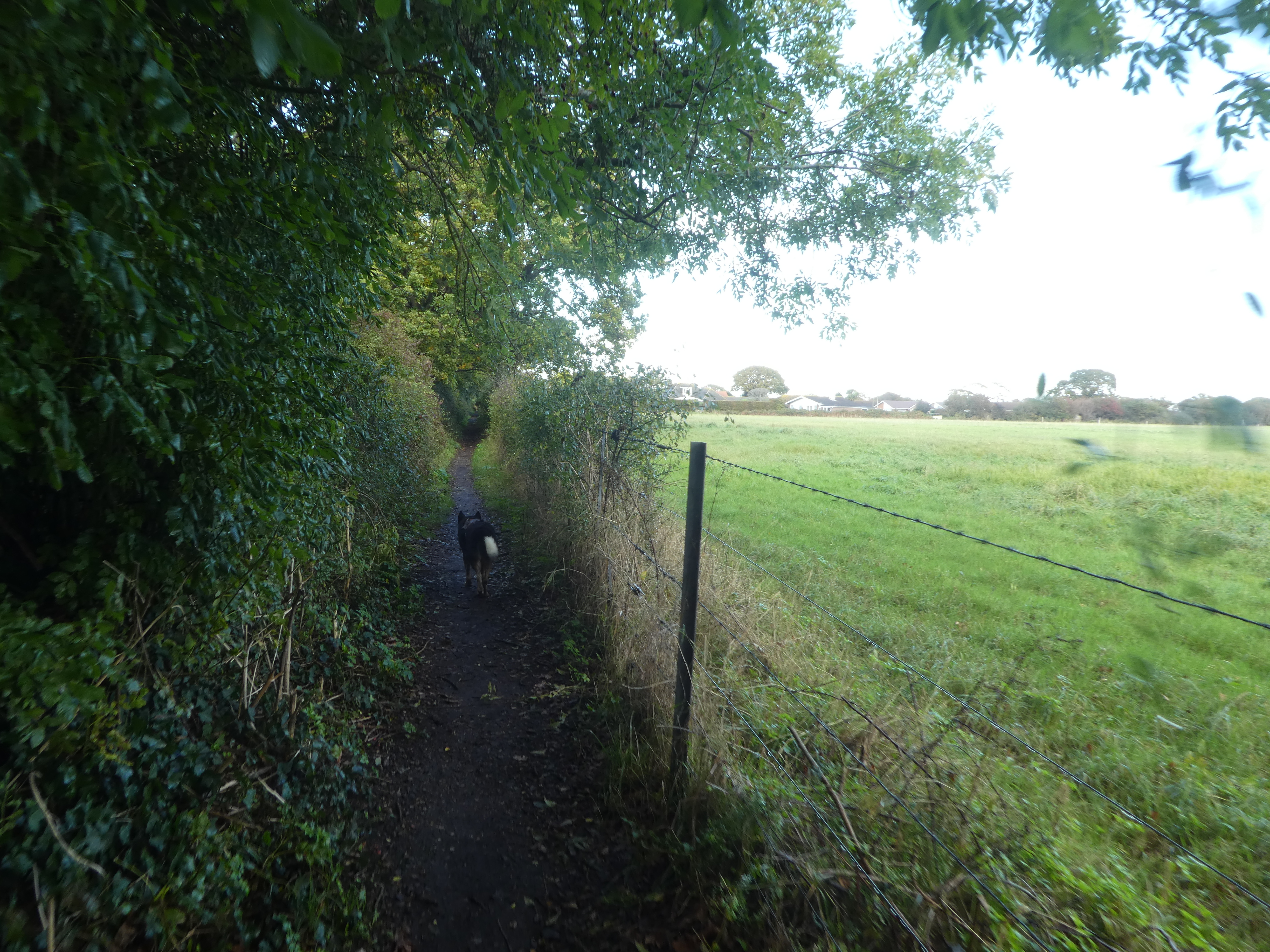
behind a hedge. Across more fields and a zigzag through a further estate and
along the side of Tournerbury golf course and a school.
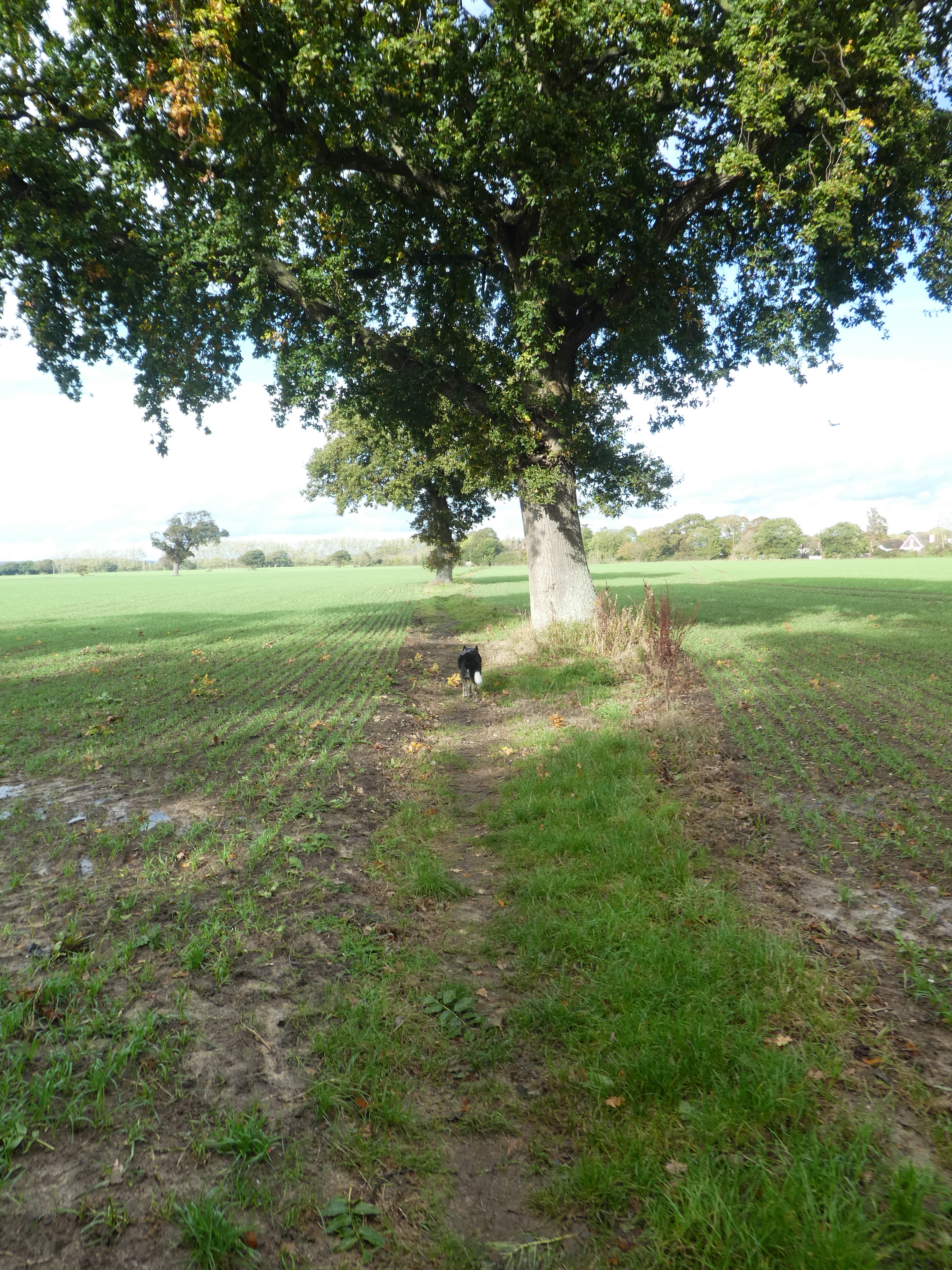
The path came out at a bend in the A3023. We found a path by backtracking to
near a Lidl that saved us from walking along the road . The path went straight
across arable fields to regain the A3023 at the Maypole pub. We walked along the
pavement beside the road up to the next pub - the Yew tree, where we turned down
Daw Lane.
Down the back lane heading for the west side of the island - there was no real
way we could continue around the east side. At a Tee junction with a back road
we turned along it - this seemed to be a busy cut through and we were really
glad to be able to escape down a track leading over to the Billy Line foot
path.
Once on the Billy Line it was easy walking to return to the car park.