The third section of the Serpent's Way was from Henley around to Haslemere
with a huge "S" shape. The main issue was parking in Haslemere with the van,
so I came up with a compromise - this would involve parking up at Black Down
and walking down to Haslemere before catching a bus (every hour around half
past) down to Henley from the station (I realised later that the bus came from
Guildford so could have caught it earlier). Leaving the bus above the duke of
Cumberland pub and across towards Liss, then parallel to the B2070 to the edge
of Liphook. Then parallel to B2131 and up to Marley common. Finally back to
Black Down and around to the car park.
There was no real chance to make the 7:30 bus, so I left home at 7am as it was
just getting light, and parked in the car park as the first and only vehicle.
Then set off down the well known track I had been on several times before
Down the path and across the back road passing a number of horse paddocks,
before settling onto the farm track passing High Barn farm.
Into the woods below Lythehill House, emerging onto the B2131. Across the road
and down a track to the stream below.
After crossing a couple of grass fields then a track leading to the outskirts of
Haslemere, before climbing up through the mews and out to the main street.
I crossed the Guildford road and followed the ongoing B2131 to the railway
station. The bus stop was opposite the railway station with a shelter set back
into the slope. I was 20 mins early and the bus came slightly late. The bus
wound through the town before curving back to the A286 and down through
Fernhurst, and climbed slowly up around Henley Common and pulled into the
stop.
At 9am I set off on the track opposite the bus stop and went through the woods
parallel to the road the bis had just come along merging with the Serpent's
Trail.
Heading away from the main road around the houses of Verdley Edge and climbed up
the plantation of Northpark Copse, and along the track above.
Through a grass field with a huge herd of horses to Scotland Farmhouse picking
up the track beyond.
Through the car park and across to the viewpoint, before continuing along the
back road.
Leaving the road along a path to the trigpoint before turning and dropping down
the steep slope to pass the house of Swallows Bottom.
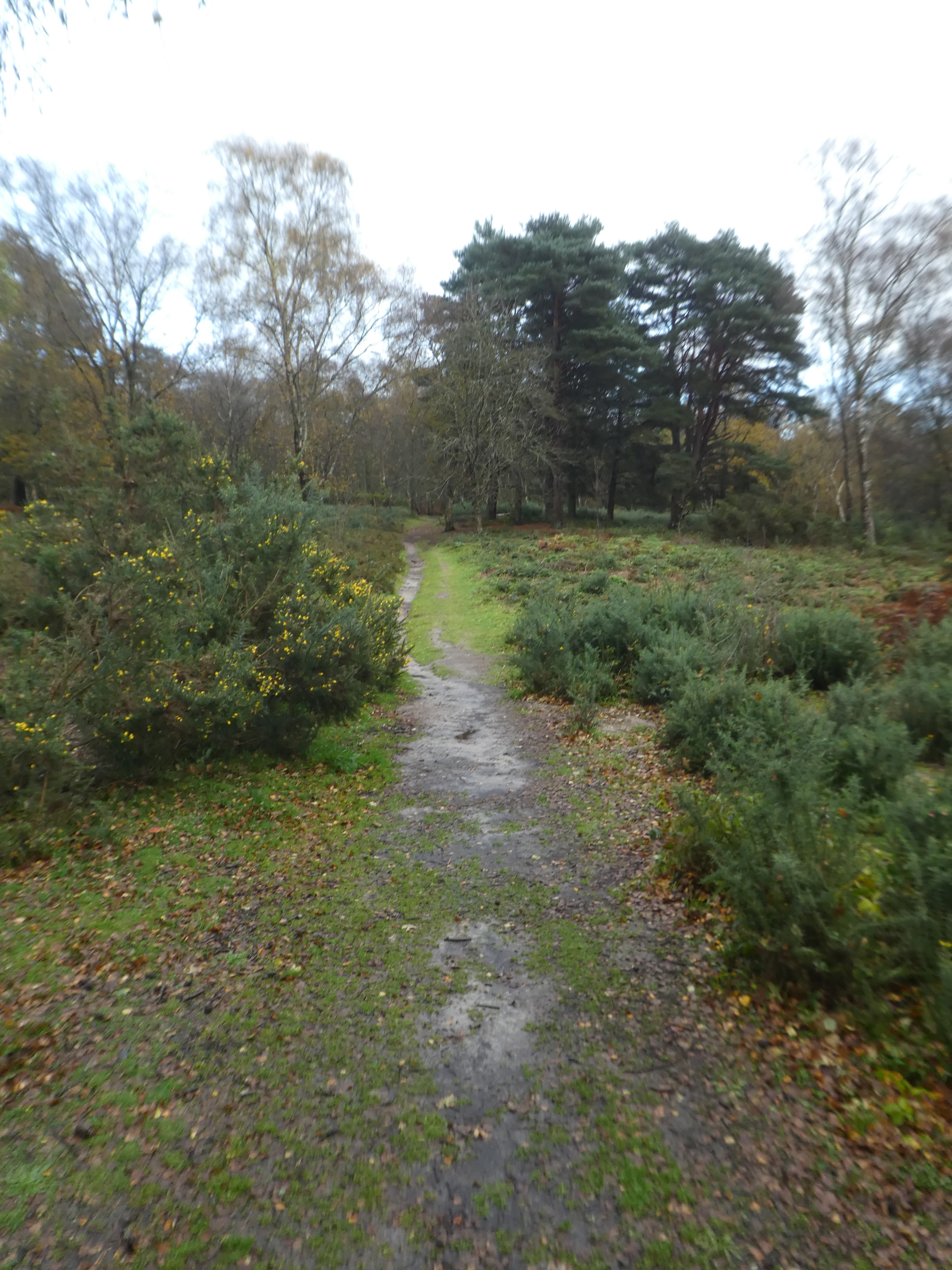
Over Linch road and into Stedham Marsh
Around Titty Hill and Queen's corner into the fields beyond. The rain started
here, and very soon became a downpour. I was rapidly soaked and for the next
couple of hours I had my head down with rain dripping off everything.
I did not take much notice of the track as we crossed through a series of woods
- no need to look at my maps, just the GPS. I was glad that I had been along
here in the shorter circuits. The Serpent's way along this route follows back
roads and tracks through the woods (including one across the mountain bike
tracks around Combe Hill. On the approach to Liss the route turns north along a
track below rake hanger coming out in Rake. Here I also knew the onward
direction was a little obscure and I followed a route through Coldharbour wood
rather than along the back road for over a kilometre. This came out at the B2070
before crossing over into Chapel common. the rain had eased off to just a few
drops - not clear but easier.

Along the tracks of Chapel Common and up to the edge of Liphook golf club after
recrossing the B2070. The rain had started again and became heavy as I followed
a track along to the edge of Liphook. At the approach to Stanley common, I tried
looking at the map to find the route (it has changed from the map and wound
around more than it should) in the ned the map was soaked and I ended up
following the Sussex border track. The Seerpents way merged back into the Border
path on the common as I went through Stanley Common and up to the Heathland
before dropping to Lower Brookham.
The Border path and the Serpent's way separated on the climb up to Linchmere
Common and the sun started to come through a little. I stopped for a brief snack
at the top of the slope, before winding through to the ridge plantation.
Into Marley Common through occasional rain flurries, and turned down the slope towards Haslemere and crossing the A286. On the other side I followed the tracks and paths alongside the stream until I reached Valewood farm. Here the path takes a steep climb up the slope to pick up a track above into a field.
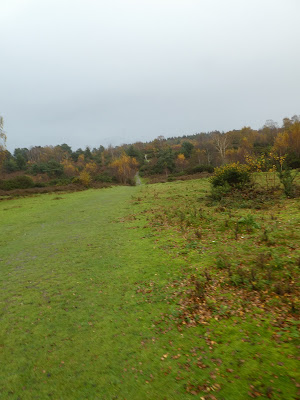
Into Chase wood, climbing gently through the woods and up to the heathland of Black Down.
The rain had now stopped, but my camera was too cold and jammed up - something it does when wet. The sun was going down to the west as I reached the plateau of the Down.
Along the plateau - I could have cut the corner off, but chose to continue along to the temple of the Winds. Here a swift about turn and back along the east side of the plateau.
The last viewpoint before the car park showing the mist below in the evening gloom. back at the car park before it got too dark, and could strip off layers of soaking clothes. Although the start had been dry the day deteriorated and in the rain and damp conditions there was not much chance to look around.