A (supposedly) dry day between bouts of rain and maybe some sun, so I headed
out for a walk. This time to the car park on the South Downs way just south of
the village of Cocking. from here the idea was to walk along the SDW and down
to Heyshott then across to Graffham, before returning around the north of the
outward route to Cocking then back to the car park.
We parked in the Cocking Hill car park (no barrier), and crossed the A286 and up
the driveway to Hill Barn farm (this is the SDW) and then continuing up the farm
track beyond
up the farm track - behind us the view across to the other side of the
road. We were shadowed by a family of Red Kites up alongside the woods.
At the complicated cross roads we took a path across the field to our left and
into the woods of Heyshott down. The path in the woods here had suffered from a
lot of trees down and we had to find ways around.
Down through the woods following a faint path. We got the wrong side of a fence
crossing into a sheep field then back again to stay in the woods until we picked
up a more defined path between grass fields.
The path mutated into a farm track as we continued in the same direction. Across
a second farm lane and through a recently sewn field.
Passing through Leggs Farm on a back road into the village of Heyshott. Then up
past the church.
Across open (and very soggy) common land in front of the rectory, then along a
back road. We were looking for a foot path that had "disappeared", so we had to
continue on the road up to the next footpath.
An extremely waterlogged field, with the only indication of a foot path was the
sign beside the trees opposite. Our original path was supposed to cross here but
there was no sign here either. Then we turned along a second field before rising
a little out of the mire.
The path snaked around the garden of a house in Hoyle, and we came out onto
Hoyle lane, before we could escape onto a path continuing into grass fields
(with cows). Our original path would have come out here but once again no
sign)
Through the buildings of Hoyle farm (undergoing some construction work), and a
complicated navigation exercise to find the path leaving cross to the Hoyle
plantation. Again the path was difficult to follow especially as what was marked
as a wood was now a field.
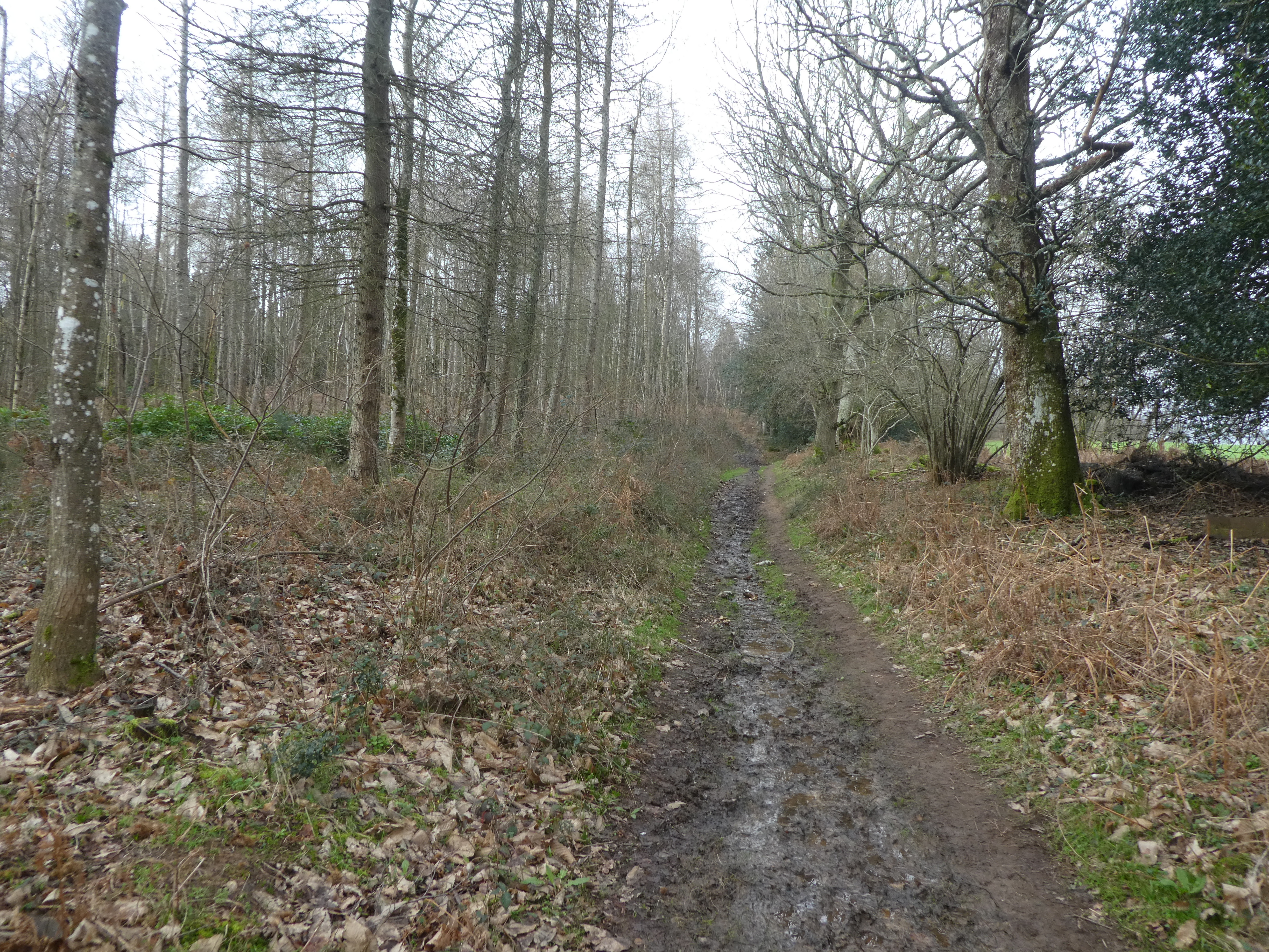
Into the plantation and still complex navigation as the path followed one of the
many forest tracks (with lots of puddles and mud). This improved after passing
what must have been a paintball site and we transferred onto gravel tracks.
The track finished at the end of the [plantation and we crossed another soggy
field to reach Woodcote farm. A fenced off mud path led around Marsh farm into
the fields behind.
Across the field and over the stream. then along the other bank until we could
turn left and over a bridge climbing up to an isolated pub (White horse - now an
exclusive B&B)
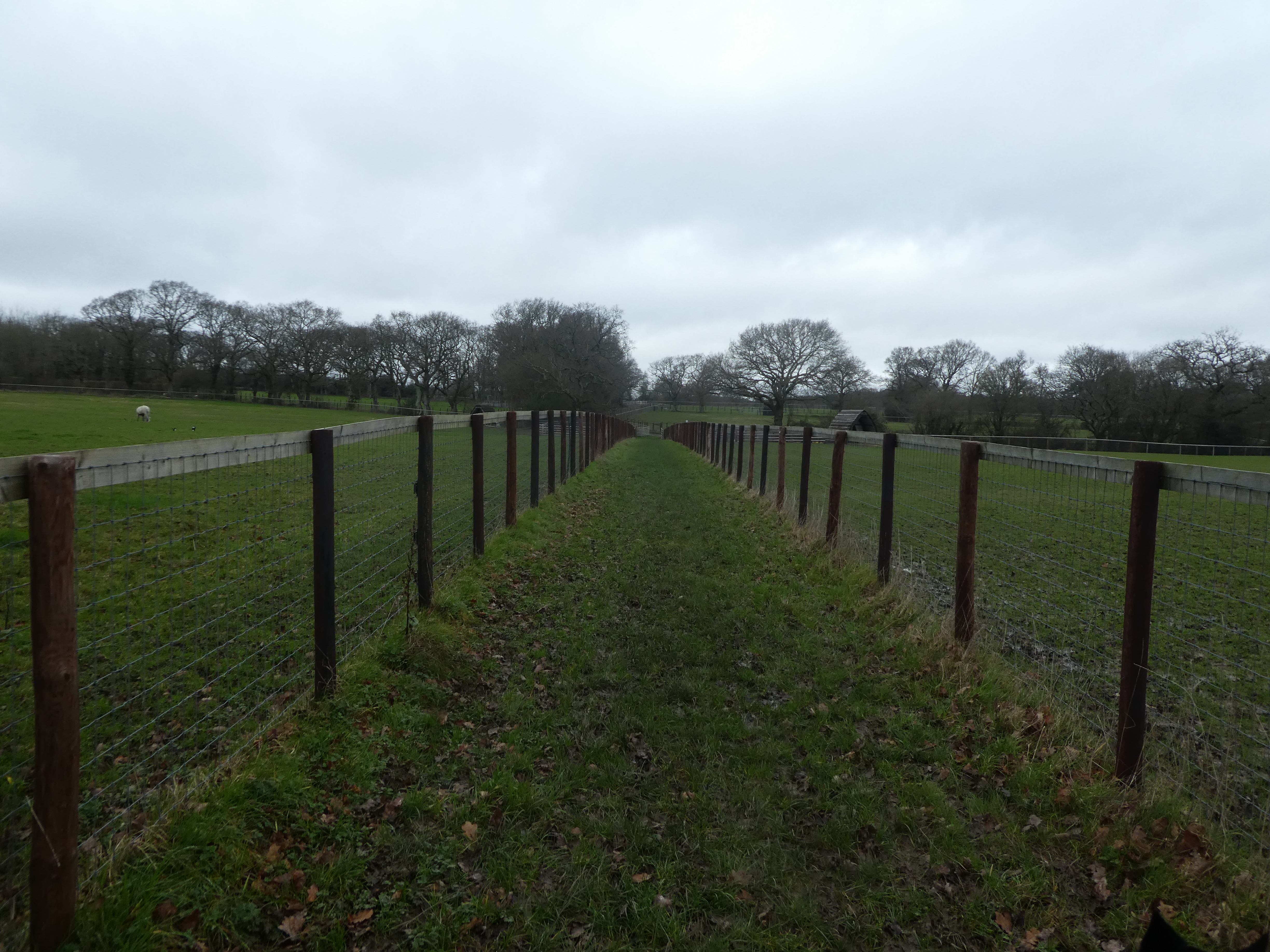
Across a back road and down through fenced off fields that were part of a lama
farm.
We got lost a little and missed a gate to a second fenced in path and needed to
back track a little. then continued down to a back road . We followed the back
road uphill past Topleigh Cottage.
We turned into Hoyle hanger (pleasantly drier) we traversed along a valley until
merging with the serpent trail path to cross a footbridge.
Up the other side into Ambersham Common following a sandy track. the track led
to a more permanent one under power lines that headed west across the common.
The path came out opposite a car park (no barrier) and we continued in the same
direction into Heyshott common.
The paths through Heyshott common were more streams than paths, but we got
across to the stream at the boundary to the plantation beyond.
We crossed under the dismantled railway, and up to the boundary of the
plantation, before turning along it. (we could have followed the disused railway
around this loop).
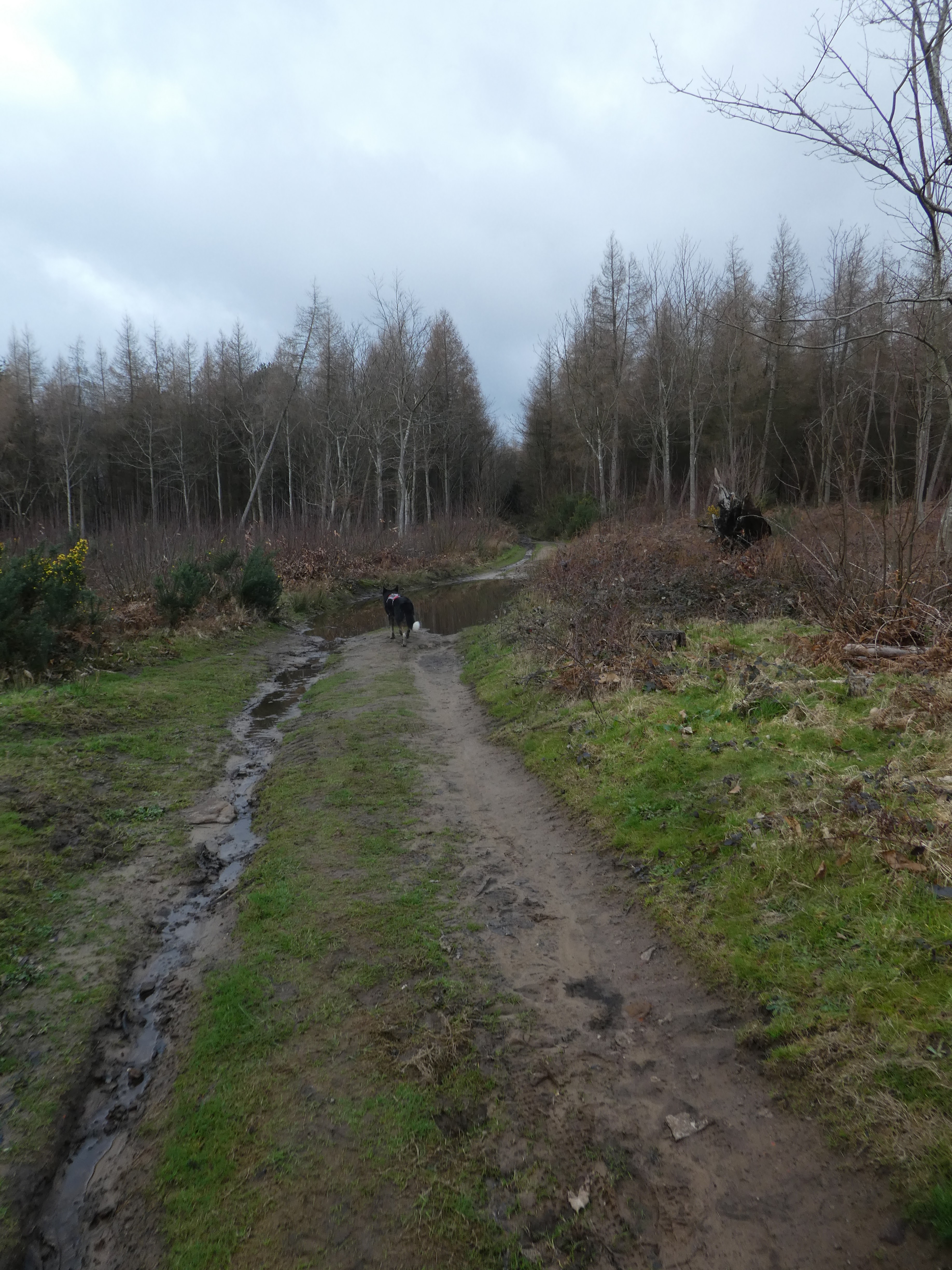
We looped around in Tongham rough on dirt tracks with many puddles.
We continued down through the roughs and Goldballs plantation avoiding the
muddier patches.
We picked up the Serpents way (that had snaked away from our route) and followed
it to Walkers farm, then down its drive way.
We left the Serpents way when the driveway turned towards Midhurst and continued
on a path to Mill lane. This path was again more a stream than a path.
We crossed the road and into Hoe copse. the plantation road was reasonably
drier. This track weaved its way diagonally through ethe copse
Over a stream using steep muddy banks and up the other side to the edge of a
ploughed field. We followed the muddy edge of the field where the rain had
washed the soil off and caught up on the edge. And then along a narrow path into
the outskirts of Cocking.
In the village we nudged the A286, before dropping down a back road, and then started the climb up a byway (after crossing a mud swamp). The path improved as it climbed until we reached the top.
The path beside the farm was the worst of the day - a complete quagmire churned up by the farm machinery. We managed to get by with just muddy feet, then returned to the car park down the drive we had ascended at the start. There was a puddle beside the car park that served as a temporary foot wash, before we got into the van.