After three days of more rain we awoke to clear skies ... so time for another muddy walk. I aimed to make use of the sandstone ridge and hope it was better drained. I planned to park in the Waverley abbey car park then walk up the river Wey into Farnham, then across to the rail station. From here a series of paths through the residential areas until we could escape into the Alice Holt Forest (the detached bit ) then into Farnham heath nature reserve. Out of the reserve to Frensham Little pond and across to Tilford. Finally back up the river Wey to the abbey car park.


Opposite the cave is the Moor park nature reserve (very little access and now
flooded)

 Along the path are a number of pill boxes - hangovers from WWII

 The path ended at Moor Park College - a conversion of an old large house. Here
we followed a back road over the river once again. We had joined the North
Downs way at this point and would now follow it to its end/ start in
Farnham.
The path ended at Moor Park College - a conversion of an old large house. Here
we followed a back road over the river once again. We had joined the North
Downs way at this point and would now follow it to its end/ start in
Farnham.

 Leaving the back road to contour around above the flood plain for the river.
Under the main rail line to turn down a dirt track.
Leaving the back road to contour around above the flood plain for the river.
Under the main rail line to turn down a dirt track.

 This track was parallel to the A31 (in fact we could have nipped into a
service station for refreshments if we had so desired). The track merged onto
the A31 just before the start/ end of the NDW
This track was parallel to the A31 (in fact we could have nipped into a
service station for refreshments if we had so desired). The track merged onto
the A31 just before the start/ end of the NDW

 We turned up the B3001 passing the rail station and then into the residential
area behind it, crossing the A287 on the way. When the road turned we
continued on a footpath that turned at a school boundary and then followed it
behind garden walls
We turned up the B3001 passing the rail station and then into the residential
area behind it, crossing the A287 on the way. When the road turned we
continued on a footpath that turned at a school boundary and then followed it
behind garden walls

 Across the B3384 and along a play area then continuing on the path behind
gardens. This dropped down to a small stream. On the other side we followed a
back entry road up to a back road.
Across the B3384 and along a play area then continuing on the path behind
gardens. This dropped down to a small stream. On the other side we followed a
back entry road up to a back road.

 a jag back to cross the A287 then down a dirt lane beside a recreation ground
and cricket field. the lane continued in the same direction to the edge of the
Bourne woods.
a jag back to cross the A287 then down a dirt lane beside a recreation ground
and cricket field. the lane continued in the same direction to the edge of the
Bourne woods.

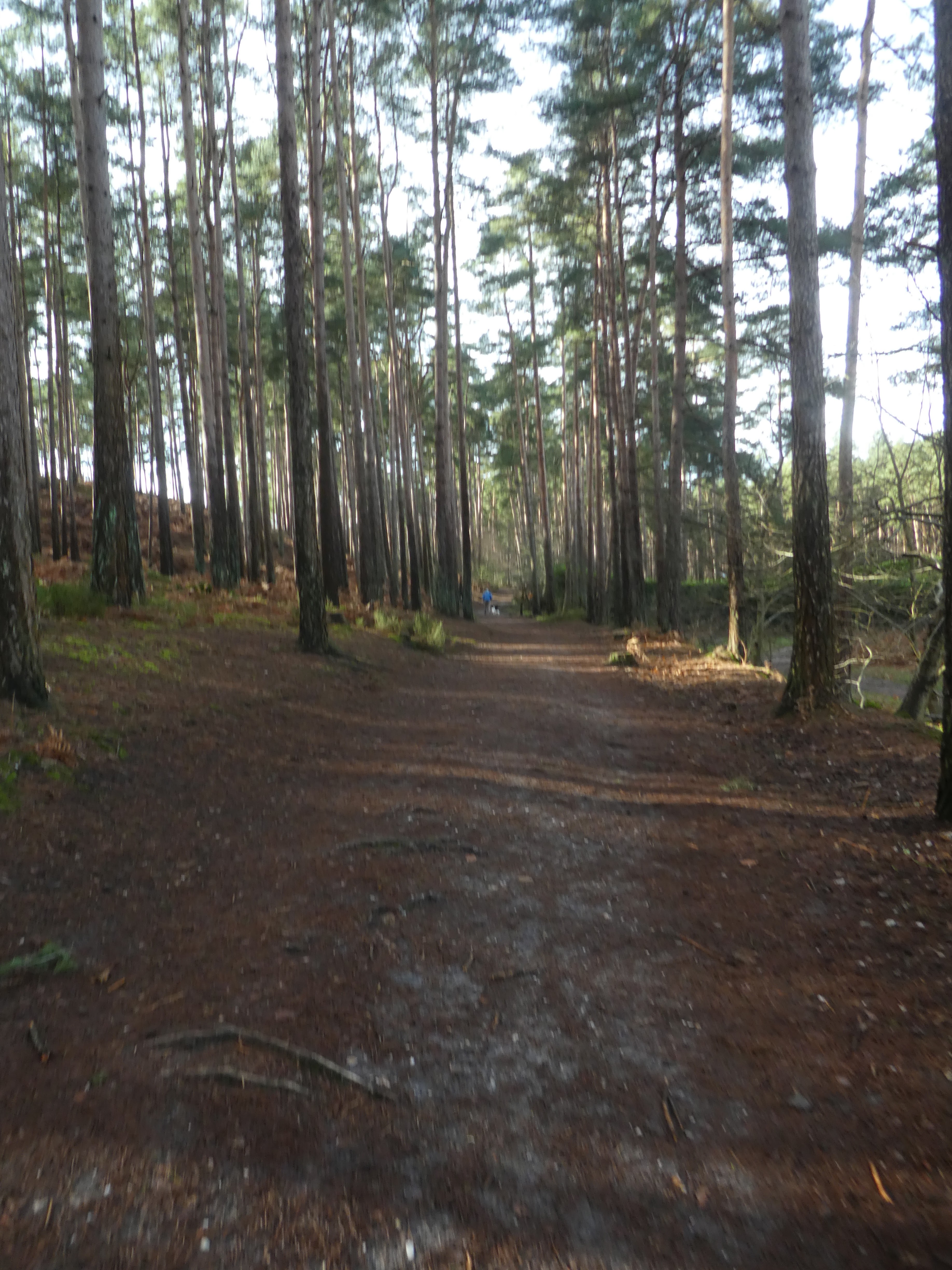
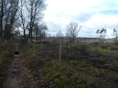
 We turned into the woods and followed a recently renovated path that climbed
up steps to the boundary of Alice Holt Forest.
We turned into the woods and followed a recently renovated path that climbed
up steps to the boundary of Alice Holt Forest.

 In the forest we soon left the major track to follow a small path through the
woods that cut a corner and onto a major track that came out at a central
clearing.
In the forest we soon left the major track to follow a small path through the
woods that cut a corner and onto a major track that came out at a central
clearing.

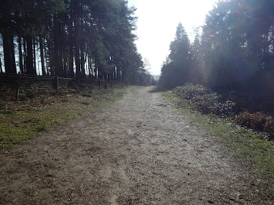
 From the central clearing we continued through cleared areas down to the
boundary with the Farnham Heath Nature Reserve. Here we followed the boundary
for a while before we turned in the nature reserve.
From the central clearing we continued through cleared areas down to the
boundary with the Farnham Heath Nature Reserve. Here we followed the boundary
for a while before we turned in the nature reserve.

 We followed the boundary as it turned along the side of a back road. Just past
a parking area we left the boundary (crossing into the fenced area ) and along
the nature reserve paths (not really marked on the maps)
We followed the boundary as it turned along the side of a back road. Just past
a parking area we left the boundary (crossing into the fenced area ) and along
the nature reserve paths (not really marked on the maps)

 We followed various tracks to bend around the rural life centre - outside the
fence this time.
We followed various tracks to bend around the rural life centre - outside the
fence this time.
 leaving the rural life centre we crossed to the next fence and through a gate
- now confused if this was inside or outside a protected area. We crossed to
the far edge and turned along the boundary down to a back road
leaving the rural life centre we crossed to the next fence and through a gate
- now confused if this was inside or outside a protected area. We crossed to
the far edge and turned along the boundary down to a back road

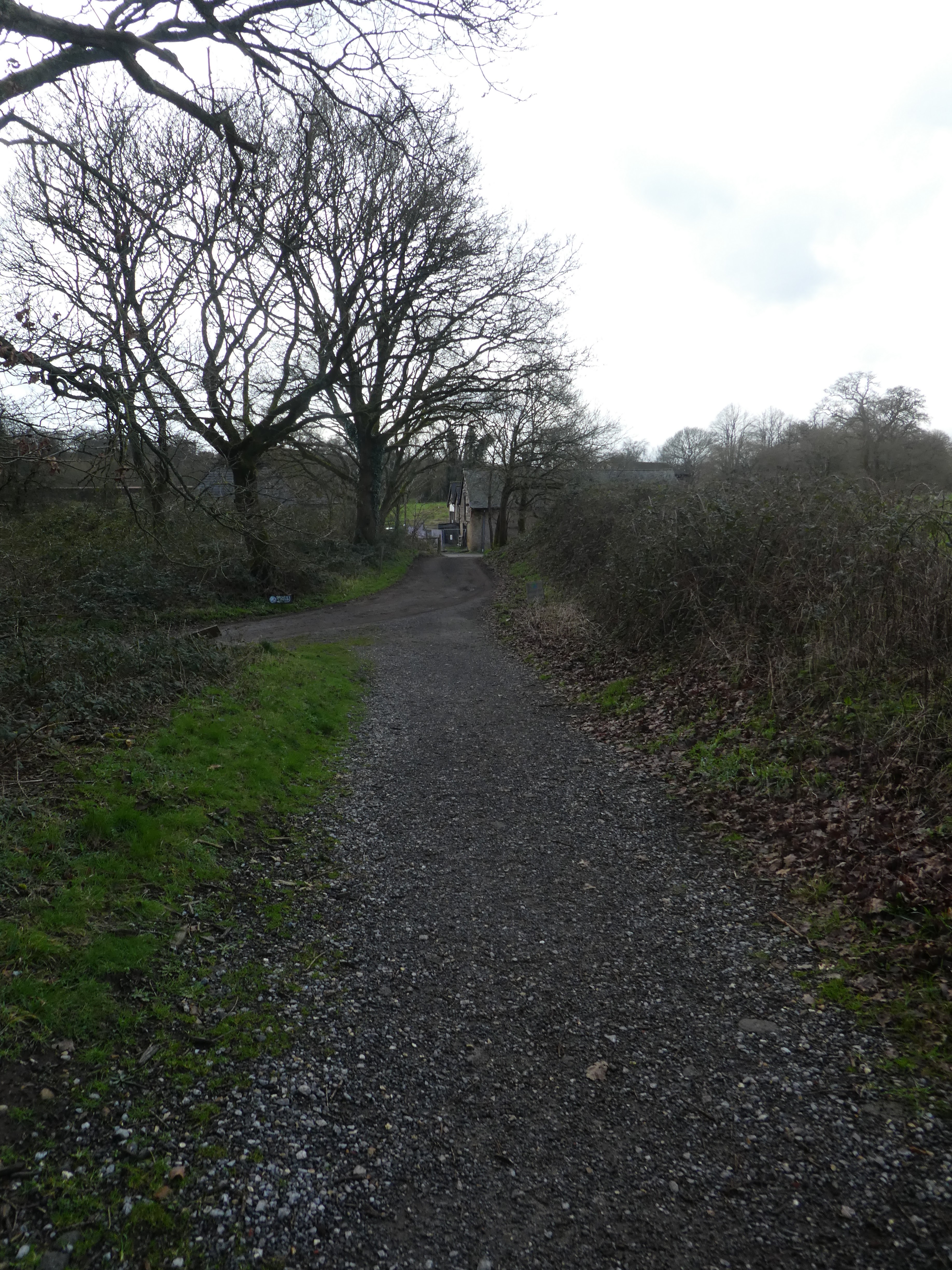
 Over the road and down a driveway to Tilford reeds. Beside the houses we
turned down a path that led into Tankersford Common (another RSPB area but
this time with no public paths in it)
Over the road and down a driveway to Tilford reeds. Beside the houses we
turned down a path that led into Tankersford Common (another RSPB area but
this time with no public paths in it)
 Through the common area to the Pierrepont farm - a commercial area

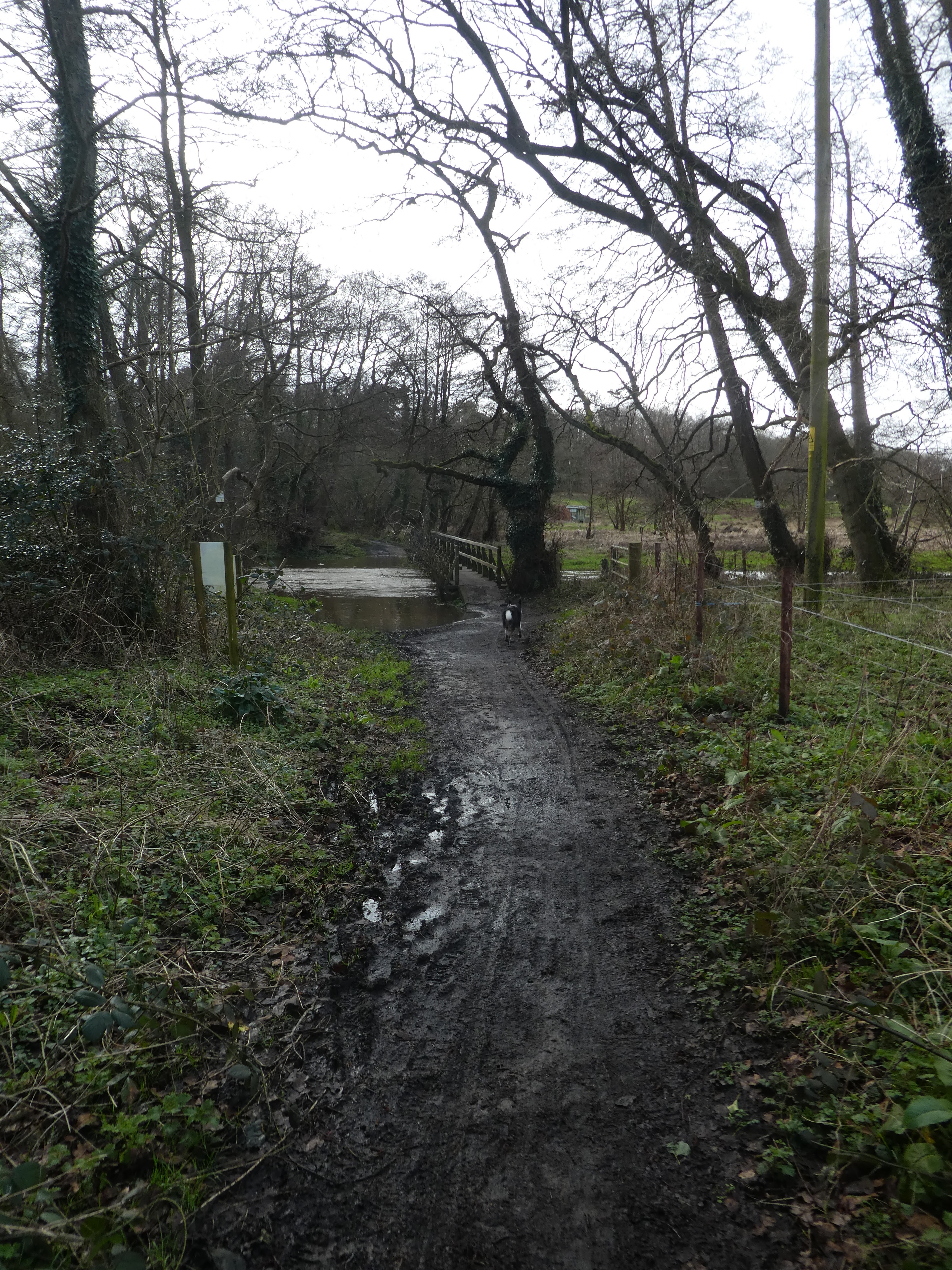
 Down to a ford (and footbridge- luckily because it was flowing very fast). And
up to a byway that passes just above the Frensham Little Pond.
Down to a ford (and footbridge- luckily because it was flowing very fast). And
up to a byway that passes just above the Frensham Little Pond.

 Along the byway (past a flooded area where we had to paddle a bit, but it
washed Berite's feet off), until we could take a path into the forest past
several piggery areas. The path merged onto the driveway to the associated
farm until it turned away.
Along the byway (past a flooded area where we had to paddle a bit, but it
washed Berite's feet off), until we could take a path into the forest past
several piggery areas. The path merged onto the driveway to the associated
farm until it turned away.

 We continued beside the river initially on a very muddy path then better where
it had been maintained closer to Tilford.
We continued beside the river initially on a very muddy path then better where
it had been maintained closer to Tilford.
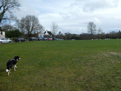
 The path came out opposite the green at Tilford, with views to the two
bridges.
The path came out opposite the green at Tilford, with views to the two
bridges.

 past the pub and over the second bridge before we could continue along the
river on a bridleway. The path merged onto a dirt track as it veered away and climbed slightly.
past the pub and over the second bridge before we could continue along the
river on a bridleway. The path merged onto a dirt track as it veered away and climbed slightly.