I had hooked up with a BOC retirees walking group - a group of people from the old company many f whom I had worked with. They had a planned walk around a path linking the modern and ancient cricket pitches linked to Hambledon village. However parking was restricted in the village and to increase the distance slightly, I chose to park in the neighbouring village of Denmead, where they had a large car park. Additionally I was on my own today as Bertie was saving his strength for the sponsored walk this weekend.
I left the car in the car park, and walked out along the narrow road beside it, until I could walk down the lane leading to the war graves cemetery. The path went around the edge of the cemetery and led into a field. Bertie and I had been this way last time we had been here, so I knew where to go.
I left the side of the field and ct across it to the woods on the other side. This eventually came out onto the B2150 road in the hamlet of Anthill. down a residential road in the estate until I could continue in the direction of Hambledon.
The path followed a fenced in way between houses until it opened into a field at the end.
Through the series of grass fields ending with divided horse paddocks and back to the B2150 - this zigzag had kept me away form the traffic. Across the road and down a bridleway on the other side
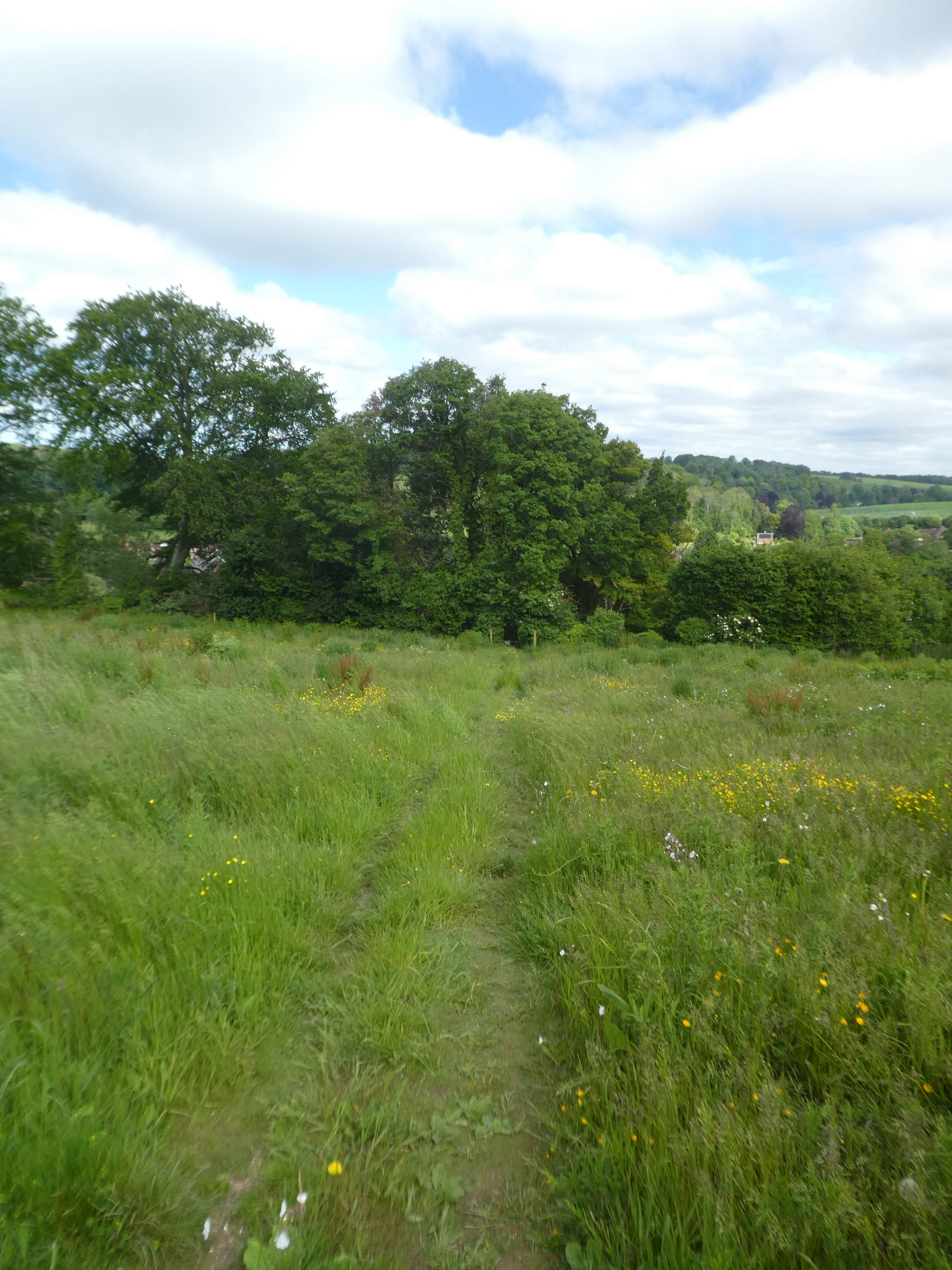
AN overgrown path led up between a wood and a grass field
The overgrown path led to a green lane which ended at a back road. The BOC walk would come up this road later. Over it and along yet another grass field, however this then good views over Hambledon to the hills beyond.
Dropping down the slope into the village, and along the road to the Old Forge tearoom where I caught up with the first of the group. Everyone else seemed to be having second breakfast, but I resisted.
The Walk started at the café then went for a small loop back around the roads I had been close to on my approach then down the wayfarers walk route before looping back to Hambledon via Pitt Hill. Back in the crossroads in the village and up to the church.
Here we were back on the route Bertie and I had down previously, nad we would follow it most of the way around. Around the back of the church and down the side of the school. This came out in the vineyards where a solitary deer was feeding. Nyetimbers vineyard continues across the slope.
Leaving the vines behind and back into the grass fields, leading over an open valley to a back road.
Into the "modern" Hambledon cricket pitch and out the back into more grass fields. A zigzag around Hermitage farm and out onto a back road. down the back road for a while before we could cut over into a wheat field. A very stark path through the wheat led to the "ancient" cricket pitch and the bat and ball pub.
time to check out the 1730 cricket pitch prior to sitting down for lunch in the pub... a popular place in the middle of nowhere.
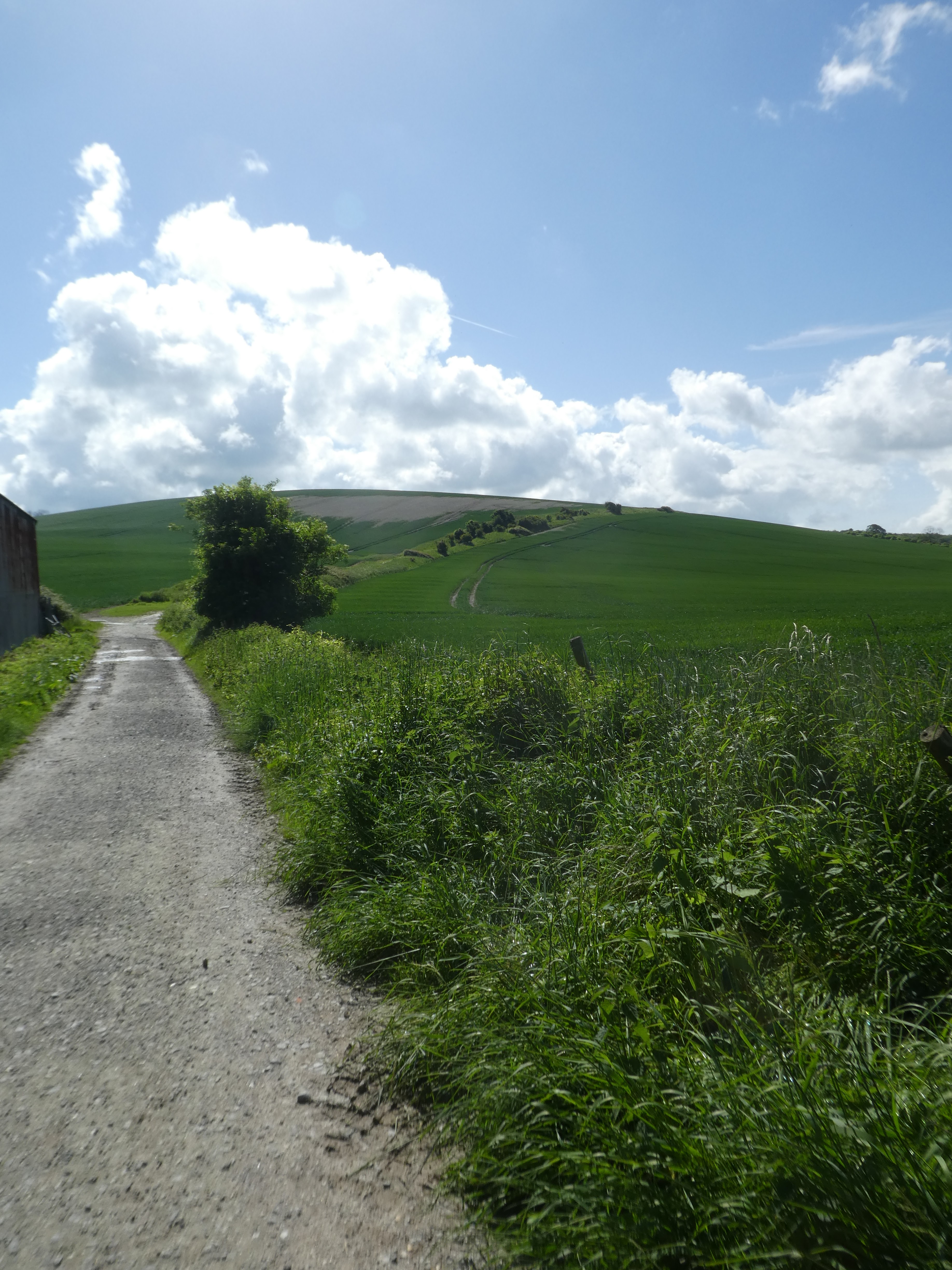
After lunch down the road to pick up the Monarchs way and a climb up the slope to a farm lane. We continued down the lane (and its partner versions) walking past a house called Scotland and around Glidden farm
Finally leaving the lanes to cross grass fields in a couple of straight lines to little hanger.
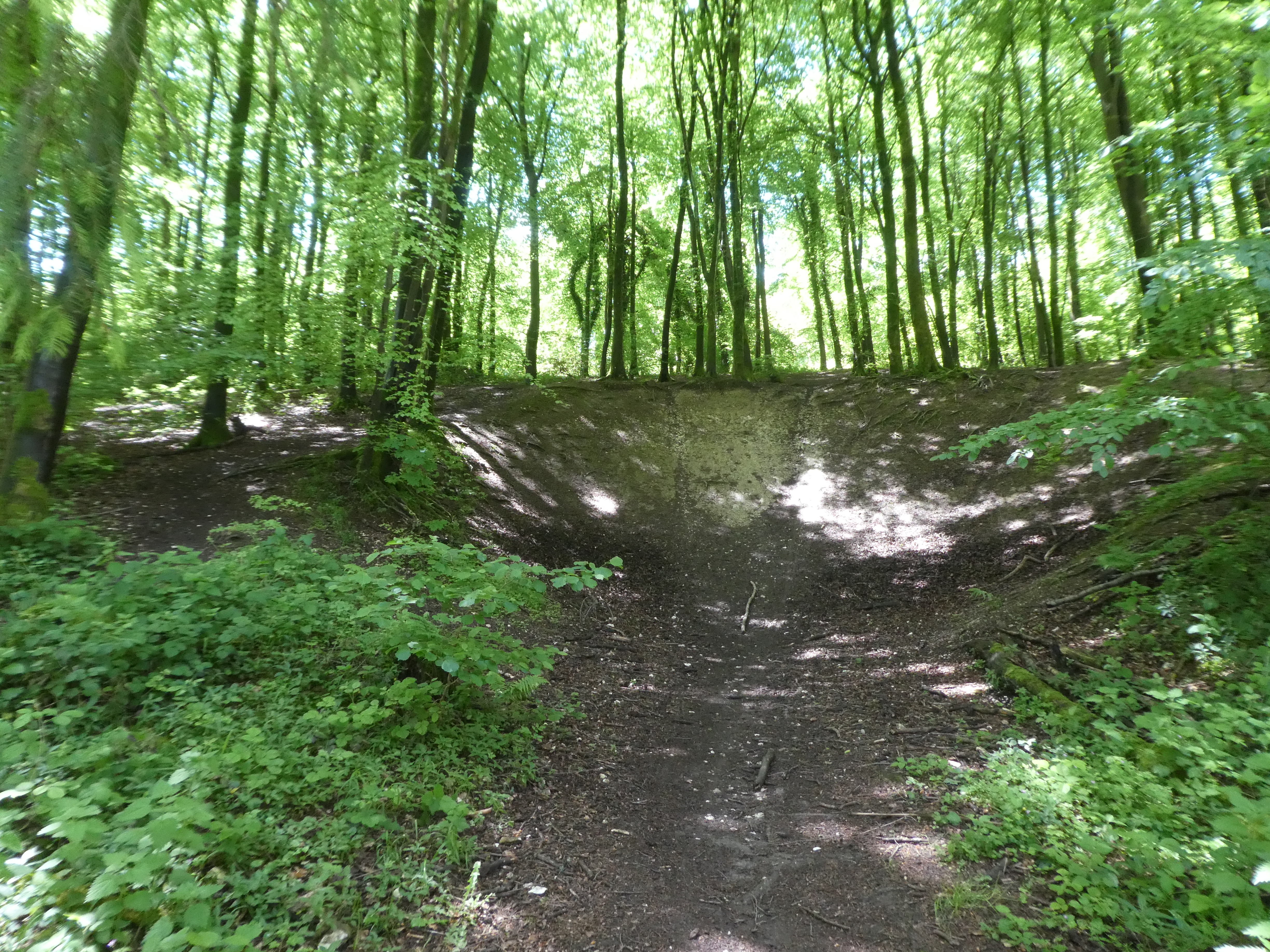
Here I left the others to continue back to Hambledon, whilst I followed the Monarchs way as it turned back on itself. I crossed a field to the wood and down the side to the corner.
yet more grass fields leading across the slope and up a steeper slope beside a wood up to Pitt Hill lane. The path crossed the lane and went over a freshly planted field, so I had to find an edge/
Down the side of the field and then picked up the track across the ploughed field to a complex junction between our track and harrow gate lane. Here we left Monarchs way and took the path up Sawyers Hill
This track alternated between a green lane and a path. This ended at a back road which continued in the same direction - this passed Little Denmead farm and mutated into white horse lane. At a junction I turned across the edge of the new builds to return to the car park.