After the rain yesterday which was heavy overnight, it meant that we had to find somewhere that drained to make the most of the sunshine today. I planned a short route following the SDW from Bignor Hill down to Amberley, then back along the Monarch's way.
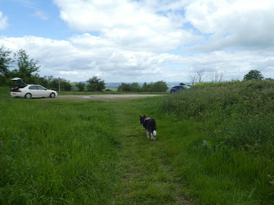
We drove up the steep road (old roman road) up to the car park on the South Downs way and parked in the open area beside the signpost. Then setting off along the SDW towards Bignor Hill.On past Toby's stone (a stepped horse mount) following the flint track as it jack-knifed down to a barn. Then continued around Westburton Hill.
Traversing around the hills slightly above Houghton forest. the track led down to cross the A29 after it had climbed bury hill.
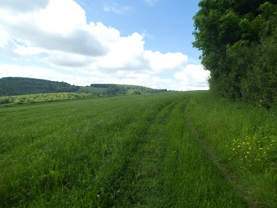
The SDW continued down into the valley to cross the river Arun before climbing up the other side to Rackham hill. we followed along the side of Coombe Wood.
Then a zigzag as we continued to drop down to the valley bottom
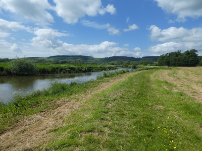
At the bottom we crossed over to the river and followed it (staying on the near side rather than continuing on the SDW which crossed over the bridge here) towards the B2139 and Amberley Station.
We followed the overgrown path along the river bank to the road bridge
We crossed over the B2139 still on the side of the river, before taking the track through a horse field up to the church yard at Houghton farm.
Back up to the B2139 and along it to the George and Dragon pub. Then picking up the Monarch's Way as it climbed in the trees parallel to the road.
Still on the MW it left the trees beside a rape field, then dived back into the trees.
When the road turned away to Whiteways roundabout the path crossed a field up to the A29. Over the road and across the parking area, then into Houghton Forest.
Along the paths in Houghton forest, where we left the MW to follow a forest track. Then we turned onto a mountain bike track into the trees - the hope was to cut across to the bridleway at the edge of the forest, but it was a bit overgrown. However we stayed on the cycle path and then a forest track that climbed across to the bridle way at the edge.
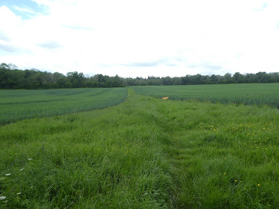
Over the Bridle way and down the footpath on the other side. This path dropped through the tress and into a crop field, which we crossed to the far side.
At a complex junction of farm tracks and bridleways we turned up a track widened by recent logging operations. Around the trees at the top and alongside a rape field.
Past a log bench beside the MW (as we crossed it once again), and up the flint track back to the car park.


