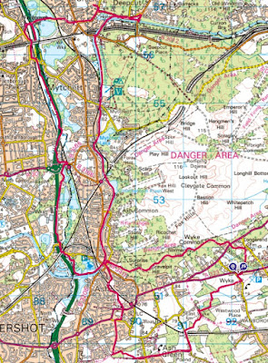
Bertie was not feeling it this morning and made it clear he did not want to come for a walk, so I set out on my own. The sun was rising and the sky clear and I set out for Ash ranges, but with an idea to walk over to the Basingstoke canal, following that up to Frimley Green, then crossing over to the Blackwater valley path to return back to the canal. I was in the van so chose to park it beside the church in Normandy, then walking over to Ash.
Parked up outside St. Marks church on Westwood Lane, where there is a dropped pavement, having gone around the circuit to face the right way for the return. From here a short step down the road to reach an overgrown path that disappeared down the side of gardens into the fields beyond.Along the side of the grass fields, and across the end into woods. Over a small stream and onto a wider track continuing to a byway.
Along the byway for a short distance before turning into another grass field. The path followed the hedge though all its contortions until it came out on a back road - Pound farm lane.
The lane crosssed the railway and continued to the farm of the same name. Here I transitioned onto a By-way - Ash Green Lane (east). I then followed this into the village of the same name, over the back road and onto the west version of the lane, that led into Ash Green Meadows.
I could have continued onthe by-way, but I chose to cross the meadow to the far end, and from there a path took me to the old railway track - now a cycle way.
Jumping off the railway and onto a short path that cut into the outskirts of Aldershot (north). I followed South lane through the housing estate up to where it turned towards the A232. Here I changed onto Grange road until the back lane - church lane which led up to the a323 opposite St Marks church.
Over the road and around the side of the church to enter the graveyard. this path then followed the edge of a school playing field.
I then struggled to find the path through the houses until a kind gentleman and his dog offered to show me the route through to Ash high street and the access to the tow path of the Basingstoke canal.
Now on the tow path as the canal contours around the edge of Ash ranges
At a point where a road crosses the canal there was a pill box (now cemented up) built into the supports
On past Great bottom - I had had walked around the other side of it when circumnavigating the ranges. Passing Ash Vale station
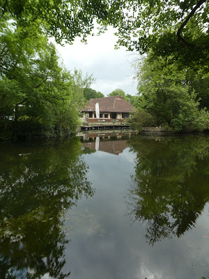
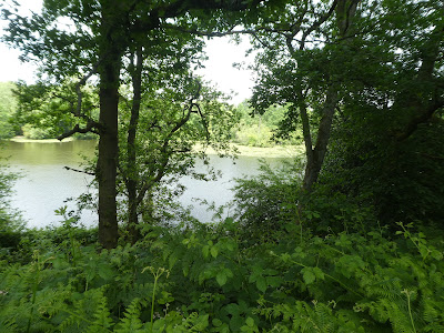
There were several lakes/ ponds beside the canal.
Including a large one at Mytchett lake (fenced off)
A kind of canal layby gave access to what I think is a pub. A way of attracting boats
Next to (over the road) was the canal centre, and café looked on by a Heron. On the towpath (my) side of the canal was Frimley lodge park - woods and park land.
As well as a miniature railway.
Beyond Frimley park the towpath continued after crossing sides using the B3012 bridge and an aqueduct over the railway. I could have left the canal here and followed the road to Frimley Green centre, however I continued in the hope that there would be a bridge aroudn the corner.
Unfortunately there was no bridge and I had to continue around to the B3015 crossing beside the Deepcut barracks.
I followed a road back along the other side of the canal, and around Wharfenden lake. I also tried a short cut through the residential area and had to back track. At Frimley Green, green I crossed over and followed a residential road over to the Blackwater valley,
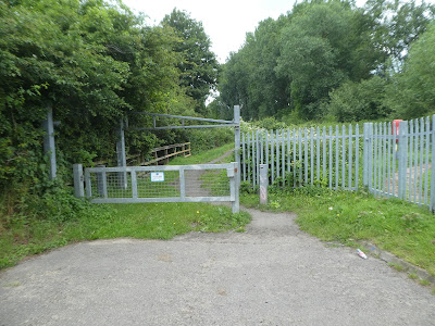
Over the railway (there are a lot of them here in several directions. Then down a wide track between several lakes. The map said that the Blackwater valley trail turned off before the A331 - I never did find this end of it. There were some locked gates, however looking on google later I should have turned the wrong way and then crossed under the path I eventually took.
The track climbed up and over the major road. On the far side I tried to go down a green track but had to come back when it ended at a railway line. So over the rail at the Farnborough North station
Then along the residential roads (and under a rail crossroads) before crossing over to access the Blackwater valley path once again between the railway and the major road.
Down along side the Blackwater river in a green corridor (slightly overgrown)
Under the major road and up the other side. There now followed a very dull section of walking along the edge of the busy road (although protected by Armco barriers), noisy and polluted. In addition it was bordered by waste and building materials sites.
A slight green diversion to negotiate the junction for North Camp station.
Once again I got lost - the signs seems to say it went from the station, but I could not find the path and ended up following roads around fenced off areas and up beside the major road once again (although separated by a hedge)
The path continued along the side of the major road adn past some houses where it changed to a dirt road.
Still on the dirt road (and some more industrial units). Following the access road brought me back to the end of the track I should have been on
Into Lakeside park - lots of tracks in many directions, but with good signage meant I kept on the right track.
the track eventually came out to the canal (with a long zigzag to climb up to the tow path). then turning towards Ash.
The canal passed above the lakes of Lakeside path and came back to the bridge where I had started on the towpath this morning.
A short stop in the Coop for a cold drink, then up beside it and into the MoD managed woodland.
Through the hilly section - Surprise, Gravelpit, Normandy Hills
Then dropping steeply down the far side to the more open area of Wyke Common.
Finally escaping the managed area and out to cross the A324
On the other side I dropped down through Normandy woods to the Cricket grounds
Around the first pitch and down a side path that would take me down to the A323.
Over the road and through the church yard to get back to the van. Time to go home and find out where I had lost the Blackwater valley path.


