I woke up feeling a delayed reaction from last weeks flu jab - the initial sore throat had now moved to phlegm in my nose (not nice!). However the sun was rising and the sky clear - far too good a day to be moping around at home feeling sorry for myself. So I devised a short route from one of my favourite south downs car parks - up near Bognor Hill. The idea was to walk down to the car park at Whiteways then back along the south downs way. I could cut it down if I was not feeling up to it, or even expand it if all was going well.
Just a couple of cars in the car park (one was for search dogs). The sky was clear with a slight breeze. I left on a track going south to meet the Monarch's way.At the junction with the Monarch's way the view down to the south coast was a little hazy. I turned along the track to the national trust forest.
Once in the forest, I continued along the Monarch's way track as it gently descended, until the point where the MW peeled off more directly to the Whiteways car park. Here I continued descending on a less used (but cleared) bridleway, in the same direction as I had been travelling.
The bridleway continued until just before a back road. Here I took an option to follow a path into the woods that was parallel to the road. this wound around the trees, passing a forest track, and still climbing back towards the Whiteways car park.
The path came out onto a clearing below the café in the car park. I got tempted to stop for a bacon roll and tea, before continuing on. After my short rest I took the main path back into the forest - this was the end of the MW I had left earlier.
At the junction where the MW bent away toward the bridleway I had started on, I turned along a forest track leading NE. This forest track ended near the forest boundary and I continued on a well used path into the woods.
The path came out onto the link track from Whiteways to the South Downs way. Where this met the South Downs way I crossed over and took a path through a sheep field. This would be an extension to my original plan.
Across the sheep field and around the edge of a cabbage field, delivered me to a path dropping down from the escarpment. This was slightly away from the track marked on the map, however it followed a farm track along a deer fence.
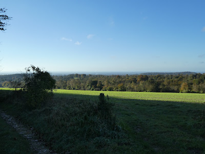
The clear day gave good views north from the edge of the downs.
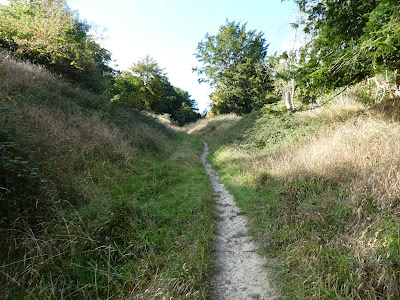
The farm track was very overgrown but was used as a footpath - I presume this was now the true route. It curved around a bowl and dropped steeply.
The path joined a second track that came out of the new fenced off plantation and continued down and around a second bowl. Then it narrowed and followed the edge of a field.
After the slope ended the path merged onto a farm track that came out onto the back road I had used to arrive on this morning. Along this back road and down a private extension to the road that ended a several houses. Here I left on a bridle way that headed back to the South Downs.
Climbing the bridleway steeply up once it arrived at the trees. the path angled across the slope in a slight dip.
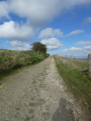
The path eased up as it approached the shoulder at Westburton hill and the barns there. Now back on the South Downs way I followed the track up to Bignor Hill.
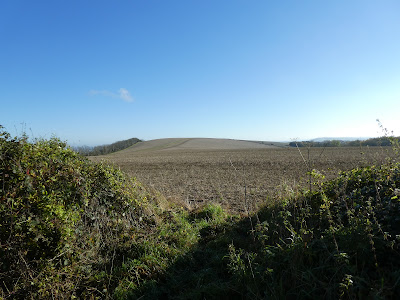
Up at the top of Bignor hill and looking down the far side to the car park.
Lookign north from the path to Bignor Hill, and also the view to the coast.
back at the car park for a further snack and drink.


