After last week's busy and "different" week, with lots of one off items filling my days it was time to get back to more normal events. Despite the rain we had been having recently it was time to get out and make the most of a supposedly rain free day. I planned a walk starting at Selbourne and working its way up towards Alton where I could pick up the St. Swithun's way where it left the town. Following this route past Four Marks towards Ropley. Then picking up a relatively direct route back across to Selbourne Hill, dropping down the zigzag path to finish.
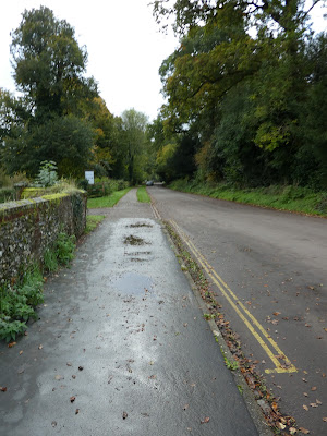
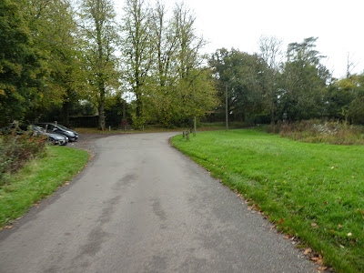
I left the van inthe small public car park between the pub and the Gilbert house museum car park, and set off down the wide path to the bottom of Selbourne hill. At the edge of the National Trust land I turned to contour around the base of the hill.Following Selbourne Hanger aroudn the edge of the hill and along a dirt track back to the edge of the village.
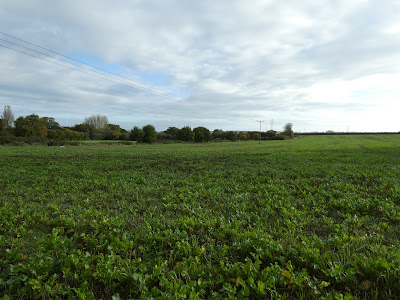
Over the back road, and along a farm track that ended at a field. Through the field dropping slightly, into a large field and around the edge.
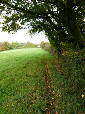
Across the field and up to the edge of a wood, climbing again. Over the top to reach a farm track which ended into a path across a field.
Along the path to another small wooded area passing numerous pheasant feeding station.
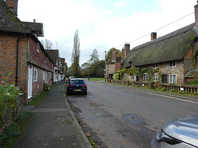
Out of the wood and along a track marked as the Writer's way and down the village of Upper Farringdon.
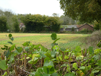
In the village I took a path down the side of the pub and into a fallow field, following the edge around to Stapley's farm. Along a back lane to a field gate on a bend.
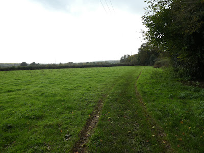
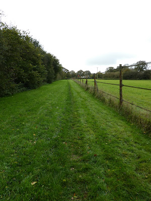
Into the field on a farm track to the far edge of the field, then along the opposite side of the hedge beside a small stream.
The path continued along the stream crossing it a couple of times to reach the B3006. Over this busy road at a point with little visibility of the traffic and down a farm lane.
At Truncheaunts, into a field to an industrial until and down its drive to Westbrook grange. Back over the B3006 and down the drive to Whitehouse farm.
Along the drive until the path turned into a field (with a large unreadable map on a notice implying that I should stick to the path and not any old routes.
The path came out into the edge of Chawton village and Mingledown woods - part of the Austin estate.
Into the village and along the roads towards Chawton house - there was various parking here for visitors to the house. My route had merged onto the ST. Swithun's way.
I missed the turning for my chosen path and had to backtrack, but not before seeing the big house down its drive. Along the path to the A32 and over it to the other side.
The path climbed beside a ploughed field, and turned south on the high point.
Down the other side to the farm track near Southfield farm. A zigzag opposite park cottage to meet a back road - Woodside lane.
Along the lane passing lower woodside farm to the upper version of the same thing (larger as well).
the back land mutated into a dirt track alongside a wood - climbing slightly. At the end of the wood the path turned to keep on the edge.
At Weathermore lane, I followed it into the edge of Four Marks, and over the crossroads towards a garden centre.
The path went through the back of the garden centre, and into the fields behind it.
The path zigzagged through the paddocks (lots of signs telling walkers to stick to the paths). The path came out on a back road near a junction.
Onto a path leading into a field at the junction, that crossed into a ploughed field, with a track leading into Old Down Wood.
Through the woods before turning through Desmond paddocks, to a back road.
Over the back road and up a lane (leaving the St Swithun's way) Andrew's lane started tarmacked but soon changed to a rough byway
Near Lyeway farm I turned along fields - now heading back to Selbourne.
Into a ploughed field near Swelling Hill, and along the edge. A path led into a wooded area past a pond and came out next to several houses.
The path seemed to end here, but the map showed it continue.. I could not find it and resorted to going down the drive along the back road and down Lyeway road. Looking back I could see the path up to the garden edges. But no obvious way through.
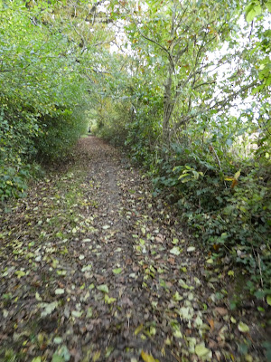
Opposite I now went down a byway in a narrow track hidden in a hedge. Along this track for quite a way to cross Hawthorn road.
The path continued in a dip through the field beyond and into Newton Common Plantation.
Passing Newtonwood farm and down a farm track to Plash wood. Along the track beside the wood.
The track dropped down through fields after the wood, picking up a different farm track.
The track ended at Lodge farm (now industrial) and over the A32 into the field beyond.
The path crossed the remains of a railway in a long U-bend to avoid a deep cutting. I stopped here for a short drink, then continued through the copse and into the field beyond.
It started a heavy downpour here, fortunately I had an umbrella handy, and did not have to get my rain jacket out. The path crossed to Shotters farm
Over the lane and down the side of the farm, and through to Newton Valence, meeting Newton lane. The rain had now passed.
Along the lane into the village, taking the byway leading to the national trust land. The byway was very muddy and contained large puddles. I bypassed some by the land next to it.
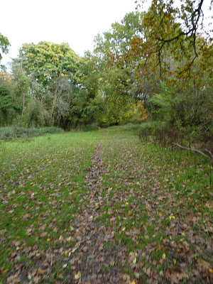
Into Selborne Common - the track looked harmless, however it was swampy under the freshly fallen leaves.
At the end of the common, the track improved with a chalk filling, and I ended at the top of the zigzag path. Here was the view down and across Selborne
The last steps were down the path I had used this morning and back to the car park. I was grateful to get back for a sit-down and the rest of my lunch..


