After a huge storm last night, it had passed by the time we got up and there were signs of some sunny breaks. There was a lot of standing water so I planned a shorter circuit hoping that the flood plains were not in operation. The idea was to park near the river Adur cross to Partridge Green then up to and past Cowfold, around the top and back down the eastern side. Once back at the river Adur, along it to Shermanbury place, then across the fields back to the car park.
I parked in the "Quiet Car park" just south of Shermanbury after dropping Sue off at Brinsbury, then walked back up the road towards the Bull inn. Before reaching the pub I went down the driveway to Bottings farm.Behind the farm around a sodden grass field to reach Cibses cottage. This is when I noticed my left boot had a crack and was letting water in - so one wet sock.
Over the flood plain towards Little Betley. There was some standing water here, but the wellies allowed me to wade through. Over the last bridge (high and dry) to cross to the farm drive. This was thee point Bertie and I had been turned around on our previous visit to this farm.
Up to the Downs link and turning north towards Partridge Green. Over Betley Bridge with views over the flood plain to the site of Bertie and my second reversal due to water.
Just outside Partridge Green the Down's link diverts off the track route where it is now an Industrial estate. I turned the other way and followed the lane up past the sewage works to the edge of the village residential areas.
Along the side of the residential areas and also the recreational ground. Through the gates and onto the B2116, turning into the village. Then north up Littleworth Lane
Just after Blanche's farm - down a driveway then around a paddock. The path then settled out between fields in a hedge enclosed track - Reeds lane. At a crossroads of paths I turned north into a scrubby field that turned into a grass field.
Over a lane and into a ploughed field with no sign of the path other than a few footprints across the waterlogged ground. Crossing the field using the Oak trees as path markers, down to a farm track from Swains farm.
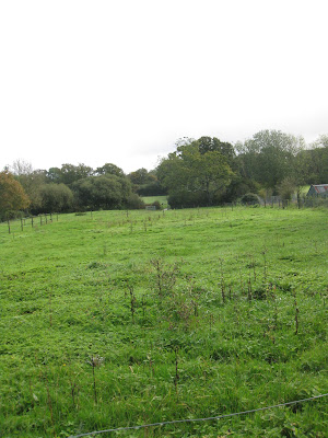
Over the track and into a series of grass fields following a general direction and some small gates.
Over a small stream on a footbridge, then climbing up to Capon's farm. Here two deer were running away from me uphill, until the last field.
Over the A272 and down the driveway to Brownings, here intuition led to the correct path through the yards and down beside a paddock.
At the bottom of a slope I turned to cross over the top of Cowfold, along a wood with two pigs who wanted feeding. The track moved into grass fields
A larger (and flatter) grass field led up to the A281. I followed the muddy tractor track along the side of the field.
Over the A281 and down the driveway to Brook Place. Just before the big house the path turned into a field to go around the house.
Down to a boggy area and a newly cleared path (apparently it was impassable earlier in the year), this followed a small stream
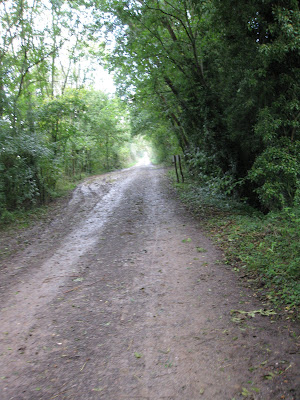
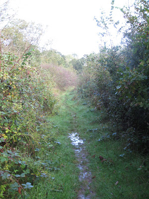
The path followed a route through what appeared to be abandoned fields, with the odd track and many puddles.
The path eventually mutated into a grave track and up to the A272 beside Allfreys. From here I walked along the busy road dodging traffic o the driveway for Oakdendene industrial estate.
Around the edge of the estate in a field and past a fishing lake. Up the slope beyond and to the edge of Taintfield wood
Down past Bankfield Grange where they had planted trees in the old fields. Across another abandoned field and a dodgy gate onto King's lane
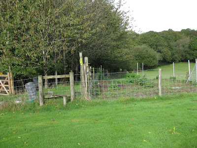
The next path south had an over grown path sign and access point so I climbed the gate. In the corner of the field the path continued in a wavy/ marshy overgrown direction until it emerged into a field. Here a change of direction, towards Wilcock's farm.
Just before the farm the path followed the hedge down to Buckhatch lane, which curved down through some woods.
The track continued through the woods, until it came out onto a tarmacked driveway when it passed Oaklands farm. The driveway mutated into a back road as it passed the rectory and Waterperry house.
At a sharp bend, on the apex, I followed a driveway to Furzefield farm and house. At the house the driveway turned away and I continued on a dirt track parallel to the river.
Along the track as it wound along the edge of the river bank to reach Shermanbury Place. I turned down the path beyond it, towards the river Adur. Initially it was clear of water and across the first bridge and field without problem.
Then it crossed a second bridge and came to a field with standing water. I needed to cross the water to the gap on the other side. Initially this was OK and I could keep the water below the wellies, then it got deeper and overflowed - now two wet socks. By the time I got near the exit to the field it was over my thighs, but I was nearly across.
Through the fence and a second pool, with a bank rising out of it.... nothing for it but to continue. This was just as deep - luckily still below crotch level. On the bank it dried out and I could empty out the boots, before following the path towards the road.
There was one final pool to cross before the road, but this did not go over the wellie tops. At the A281 it came out beside the pub and I could follow the road back to the car park. At the car I could wring out my socks and trousers before changing shoes and driving back home.


