It was overcast but dry and it had not rained seriously all week, so I decided to go for a walk between the two from last week. Starting in Cheriton, I would walk up the Itchen way to the outskirts of New Alresford connecting with the St Swithun's way. Staying on the St Swithun's way to the point I had reached last week, before turning south to reach West Tisted, then west through the fields to Hinton Ampner. If time allowed I would go around the NT estate and pick up the source of the Itchen and along the Itchen way back to the car.
I parked the car on the green opposite the village hall - which was a polling station today, and picked up the Itchen way as it crossed into the church yard. Out the other side and through a field and across a back road into a horse field opposite.Along the hedge beside a number of paddocks following the river Itchen up to Cheriton Mill - now residential.
Down the drive and over the B3046, and into the field opposite a T junction. This was marked as Prite Lane, but really just a path. The path joined onto Hinton track and turned towards New Alresford.
The track followed the edge of a grass field to Crooked Billet, where it followed the B3046 for a short section then turned into the woods (I found out at the end of the woods that there was a permissive path through the field cutting off the corner - this was not marked on the map)
The path crossed over a summit and the view showed the town and the golf course in-between. To the right was a scar on the hill opposite which we would reach later.
I followed the path over a bridge over the A31 and along side the major road to Tichborne Down. Here the road was closed due to construction - the scar I had seen earlier - presumably a new housing estate.
I retraced my steps over the A31 and back to the golf course, then turned along the road. On the edge of the golf course was a fairy ring (or part of one!)
The path merged onto a back road that turned under the A31 after the construction site, then along the opposite side of the major road.
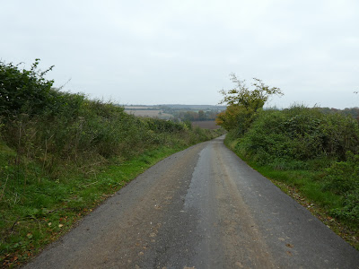
A bit of a trudge on the back road (white hill lane) as it undulated to the village of Bishops Sutton
Through the village, until a side road led down to a stream.
The stream had a ford (and luckily a foot bridge). Then followed a path on the opposite bank through the fields.
The path left the fields onto Northside lane back to the A31 and over it at a roundabout. On the other side I turned onto Tegg down road heading for Ropley.
The map showed a path over this field, but the gate was locked. I wandered around to find a way around before noticing the next field also had a path that cut back to join up in the following field.
the field after was maize - ready for harvesting. This joined onto Park lane and then a driveway/ private road that led into the centre of the village.
Through the village and past the shop - I had to stop off for a snack as it was community run.
The village church was having the bell hanger replaced with a new heavy weight structure, being winched up. Leaving Ropely I crossed a number of sheep fields heading for the skyline.
The path crossed several of the fields with many different types of gate, until it reached Andross farm. Across the last field to reach Andrew's Lane - where I had walked last time.
UP the lane, past some big house. After the last houses it changed into a dirt track/ byway.
At Lyeway farm, I followed the drive down to a back road and over it and across the crop field beyond - luckily there was a tractor track to follow over the mud. At the far side into the woods beside a big pond.
Leaving the woods and over two back roads - following the track rather than the map brought me further up the road than I expected. Down the road to find the path navigating between horse pasture. Then a muddy route following a new fence.
The fence was trying to hide a glass box house - Dell house. then over the back road and down the drive to Merryfield farm.
The farm was diversified into several businesses. Through the farm and into the crop fields beyond - overhead was the first Red Kite of the day.
From the farm I followed a farm track that zigzagged around the fields until it came out onto Punsholt Lane. Down the lane to the edge of West Tisted.
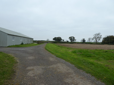
Down a farm drive past teh industrial farm stores and out to the byway beyond - Clinkley Road.
The road (dirt track really) undulated across to Bramdean common.
Into the woods and a brief pause at a picnic bench before continuing by following the track as it mutated into a muddy path, eventually coming out at a small church in the edge of the woods.
Opposite the woods was a grass field that I followed the trace past Wood farm cottages. Over the back road and up the side to a lane leading to Breach Plain cottages.
Down the passing the cottages before turning into the fields.
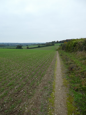
Along the field edges to Cheriton Wood. then beside it to its end. I tried to ignore the shooting in the field over the hedge hoping they were firing down slope away from me!
At Alresford Lane I turned down hill towards the A272, before cutting the corner off beside a ploughed field.
Over the A272 and into the Hinton Ampner estate climbing up beside new woods planted in a field. This joined a bridleway on top of a slight rise.
Along the bridleway into the village of Hinton Ampner. Then along the back road to the edge of the big house before going into the estate.
Down the slope away from the house, before turning turning along the bridleway to the west.
the path ended at a pond - the map shows that this is the source of the Itchen river.
Turning beside the back road back into the village of New Cheriton - the path meanders through the woods beside the road. Over the A272 and into the field opposite the pub. This is the start of the Itchen way.
The path touched the B3046 before heading up beside houses. The Itchen way climbs up the slope to cross Cheriton Lane and then meet Upper Lamborough Lane. I turned onto this lane and headed towards the village of Cheriton.
Down into the village (still on the Itchen way) reaching the village beside the school. then aroudn the village roads to return to the centre and the place I left the car.


