Misty with light drizzle du to end mid morning, so I planned to combine a visit to the storage container with a shorter walk. The idea was to park int he layby next to the storage field and walk along the village common before turning north to Milland. then west to cross before turning south back to Trotton and hence to Stedham. However a forgetful action made me leave my route map on my desk, so I had to make it up as I went along. Essentially I followed my original idea, except that I turned along the Serpent trail when I reached it, then turned down to Trotton. To finish I crossed to Dumpford, before returnign to Stedham across Iping common.
I checked the container and filled up a few more gaps with "stuff" before parking just outside the gates - my preferred lay-by opposite had a container trailer in it, prior to delivering more containers to the storage park.The walk started along the storage centre fence and into Stedham Common.
passing by the pub, and along the driveway to a garden centre/ nursery.
Down the back road to Iping, with the mist covering the hills beyond.
After passing over the river Rother I moved into a horse field and then zigzagged into a crop field - thin bushes in rows.
The path continued over a back road (hammer Lane) and through a further field of the strange bushes before going into the wood beyond.
Back along Iping lane to pick up an ancient trackway - Sharver's lane up to Stubbs farm house. From here I crossed a horse field to a corner with the woods.
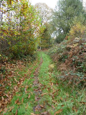
Through a gate and down a lane through the woods descending steeply to Robins farm. Over the back road and down Moorhouse Lane.
At the house, I turned down a field and across the stream, before climbing up the far side. Then throug woods to a field
The path merged onto a farm track that then merged with the Serpents Way.
Down the farm driveway (past a cottage with a totem pole outside) and over Cooks pond road. Over onto Borden Lane, until the Serpents way climbed up into the woods beside it.
In the trees of Holm wood I left the Serpents way adn cut back across the slope to reach Green lane. Along the lane before turning down a driveway to a house.
Just before the house the path crossed into a field and around the boundary. Through the paddock and up to the top of the slope
Looking down the far side towards the South Downs - now visible that the mist had lifted. The path dropped through fields of the same strange crop in a series of Knight's moves top end up on Brier Lane (more a track)
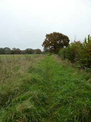
Along Brier Lane towards Gatehouse lane, until the path turned down through a field (more strange bushes).
Staying int he field to avoid the A272 until it ended in Trotton. I crossed over and down a driveway to a large house.
The path avoided the house and crossed fields heading back towards the River Rother.
Over the river beside an old mill (now residential) and up the driveway into Dumpford.
Picking up the Serpents way once again, I crossed a wheat field to the edge of Goldrings plantation. Hence on to the farm of the same name.
Around the paddocks of Bridgelands farm before entering Iping common through the southern (hidden) car park - empty.
On the direct path through the common, heading for the main car park (nearly full).
Over Elstead road and into Stedham common (southern section) on the same direction. I crossed over the A272 and into the northern section, picking up the track of my outward trace.
Back to the van waiting outside the container park. Slightly different to the one I had planned, but with an extra section through Iping Common.
Back to the van waiting outside the container park. Slightly different to the one I had planned, but with an extra section through Iping Common.


