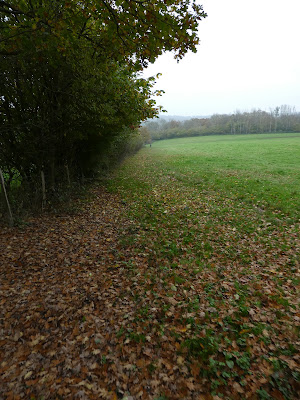
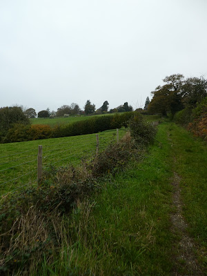
Still cloudy and early mist, however it remain dry, so I planned to fill in a section of the Sussex Border path between Standen and Horstead Keynes. The route would start from the Gravetye estate and curve around to Standen House, down to Weir wood reservoir and onto the SBP. Follow the path to Sharpthorne and on to Horstead lane. From here leaving the SBP and going west to the outskirts of Wakehurst Place. Now on the High Weald Landscape trail through Philpots to West Hoathly. Finally back through Gravetye estate.
I parked up in the little gravel layby down the lane off Vowels lane, then continued on foot along to Mill Place WoodContinuing on the lane under the railway line (the Bluebell steam railway) and into the vineyard at Mill Place.
There are some old buildings here a the vineyard.
turning across Pond bay and through the vines to Mary Wood.
Into the woods then out over the Rough.
Into High wood coming out at the playing fields of the hockey and netball teams.
Out onto the back road passing the Saint Hill Manor - home to Ron Hubbard and the scientologists. All very fenced off and hidden from prying eyes.
Along the road to the EG rugby club - a place of many memories from my youth where I played for several years. The pitches are still as I remember them, just the club house is much bigger.
Down the lane beside the pitches passing a converted chapel, and old phone box (with a cut flower presentation in it)
Over the next back road and down the drive to Standen House. There was a early open car park and path down the side of the national trust estate area.
Not much of a view of the house and grounds, but goo views down towards the reservoir.
Past the Standen estate and into the farm land leading down to the Weirwood reservoir.
Along the reservoir to the lane leading up to Grinstead lane where we used to park for Stone farm rocks when we were frequent visitors.
A difficult walk down the lane to the end of the reservoir and up the other side. there were diversions for the DofE walkers using the scout camp, but the rest of us had to use the narrow and busy road.
Down the track leading between fields of the large Blacklands scout campsite. Into the woods at the end dropping down to Coombe brook.
Out of the woods and through the fields to the drive and buildings of New Coombe farm.
Along the farm drive back towards the railway line. Under the line and up the other side into the village of Sharpthorne.
A wiggle through the village (climbing over the railway tunnel). Over Top road and down a back entry beside the village hall that led to a path going away from the village.
The path led into a series of grass fields dropping down to a stream.
Climbing through more fields the other side passing Northwood house.
Along Horstead lane and down a path beside Vaex End (there is a false drive way that you have to retreat from to find the correct path). The path leads back towards the railway line.
Down the side of the line to a foot crossing. (there is a bridge earlier but this just led to a farm and no path)
On the west side of the line I headed away from the line dropping down to a stream with a bridge.
Up the other side through a couple of sheep fields and then a farm lane leading up towards the village of Highbrook.
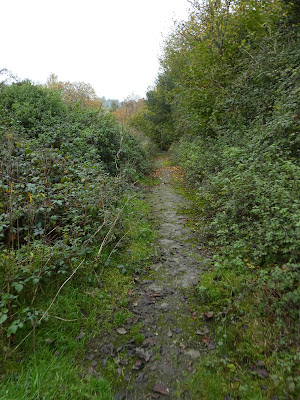
The farm lane cahnged into a driveway for several houses out to Hammingden lane. Over the lane and down a path beside some horse stables - very overgrown, but solid underfoot.
The path wound around a little before dropping steeply down to a stream and another foot bridge.
Climbing the other side up to Pickeridge farm and a narrow lane leading to join up with the High Weald Landscape trail and then one to hook lane.
Dropping down away from the lane through a couple of grass fields to Hoathley Shaw.
Over Cob brook on a dodgy foot bridge that was leaning where the foundations had washed away from one side. Then climbing up the other side to reach a track that contoured along the side of the valley through East wood (with lots of pheasants)
The track curved aroudn the end of a lake, and continued up the far side then along the stream feeding it (in a fenced off area)
The track led into Philpots farm, then down its long gravel driveway that led all the way into West Hoathly. Here beside the church I got carried away and turned down the road
Then escaped up a path to the fields above. this led down to another busy back road, and I should have avoided it through the village.
Down a lane beside the village garage - which specialised in old prestige cars. there were Bentleys, Rolls, etc. just parked all over.
The lane led back into Gravetye estate. On the top of the hill I left the High Weald trail to follow a path towards Lower lake.
Through the open pasture contouring above the lake.
At the end of the lake I joined the marked trail through the estate, going into the woods.
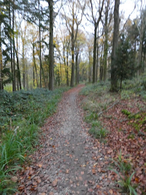
I followed this trail as it climbed up away from the lake back towards the lay-by I had left the car in. The trail followed a bit of a zigzag once it got into the trees, but in the general direction of the lay-by.


