Another potential route for the AAC walks, this time from Bentley station to Farnham station via the Alice Holt forests, across to the Frensham ponds then through the Farnham heath and the residential outskirts. For my recce I would park at the NT car park beside Frensham little pond (part way around the potential route), then follow the proposed route up to the Bourne crossroads. At this point I would cut along the residential areas to Rowledge and access the Glenbervie Inclosure. Through the forest to Birdworld and into Holt pound Inclosure, then down to the Shipwrights way. Along the Shipwrights way through the visitors centre, before cutting over to Dockenfield. Along to Frensham Great Pond, and through the common of the same name back to the little pond.
I parked in the NT car park (curtesy of my membership card) then set off away from the pond, and over Priory Lane. Then along the bridleway heading down to the river Wey.
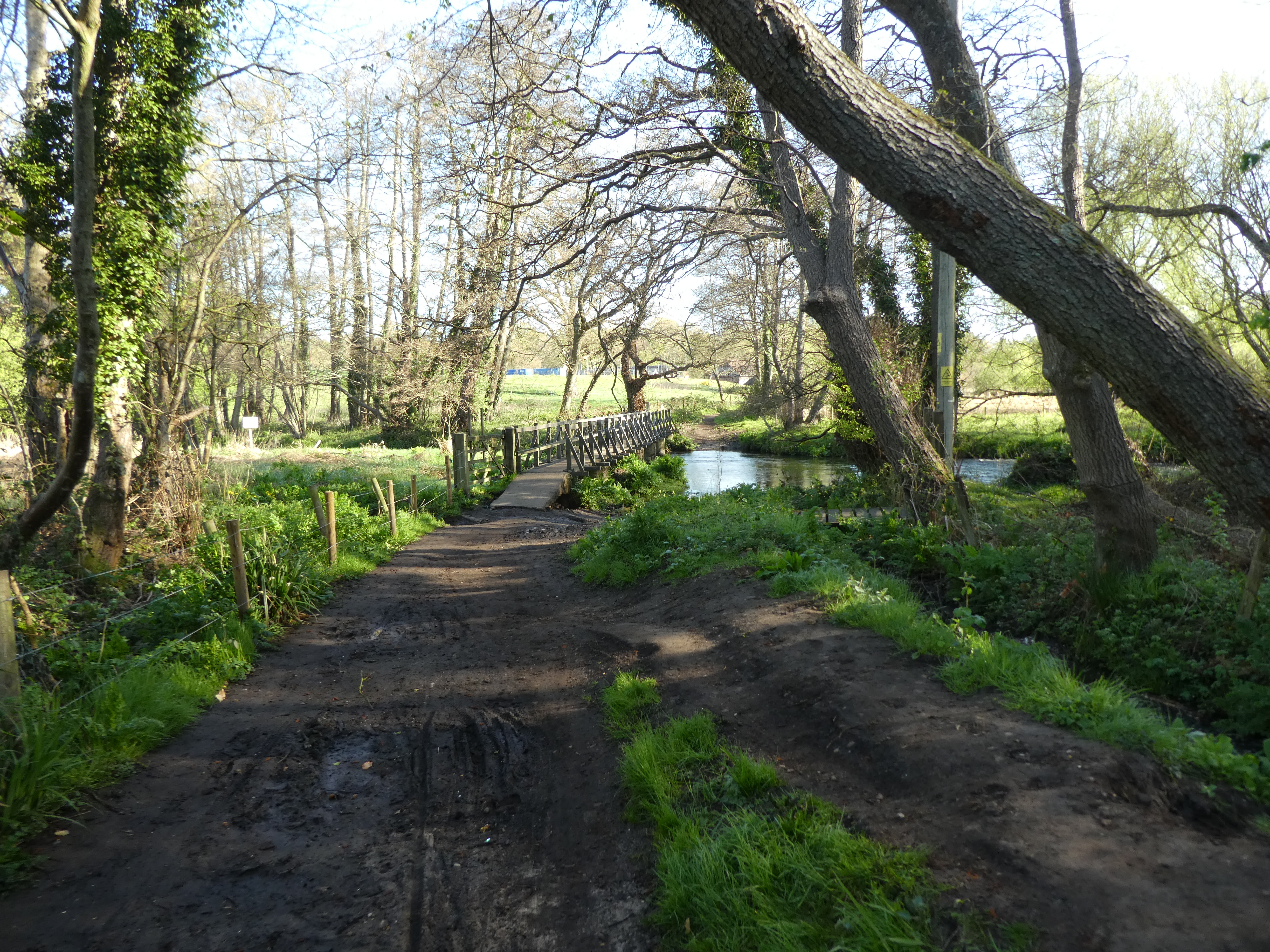
Over the river and up to Pierrepont farm
Through the farm buildings and into Tankersford common - the path is fenced in on both sides to prevent access to this nature reserve.
Over the Reeds road and into Farnham Heath nature reserve following the edge until A path angling across to the higher ridge.
Along the ridge to the edge of a fenced off area, then down to the track on the far side.
There was a filming unit in place on the track, but it did not seem to be filming. Up to the high point behind the film set.
Looking back down to the film set before going over the ridge. The path angled the wrong way - since the path I wanted was across the film set.
Slight confusion as to where I was meant that I had to double back and get back on track. This was past numerous more film unit vehicles, and so I escaped down to Old Frensham road.
Along the road to pick up Dene lane, and follow it up to Bourne Crossroads.
Past the recreational ground up to the crossroads, and a short section down to a track leading down to a stream.
The wrong side of the stream for the path, I went along the residential road until it curved away and I hopped onto the path up to a back road.
Along the back road to Shortheath adn into an area of open access that brought me back to the stream path.
Someone had carved a face onto a tree trunk at a bend in the stream.
Into the car park of the Bat & ball pub that gave access to a footpath up to a back lane.
The lane mutated into a path along the edge of Boundstone residential area, up to a further gravel lane
Down the lane to a junction where there was this little shop selling bags and along a lane to a cattery with a second shed shop - this one selling wool things made from alpaca fleece.
Slightly more rural now as I followed the path to the Rowledge area. A zigzag to get on a second path that came out to a crossroads opposite a shop,
Down the lane to the church and the car park for this access point into Alice Holt Forest.
Into Glenbervie Inclosure following the major gravel track across the top of the forest.
A turn onto a second gravel track to gain the dam at the end of Lodge Pond.
Over this and along the path up to the A325.
A new nursey is being built opposite the path and next to Birdworld. The map showed a lane leading into the second part of the forest. I discovered later that it went through the Birdworld car park, however I walked up the road to Holt Pound to find an alternative.
Into Holt Pound Inclosure via an access point with some dodgy signs. Once in the forest I turned to go back to point I had originally planned.
This secondary path curved aroudn and up to the main gravel track that led to Gravel Hill road.
Over the road and down past a secondary car park into Lodge Inclosure. Along the main track until it crossed the Shipwrights Way beside a pond.
Along Shipwrights Way next - this is actually tarmacked. Passing the research station and along to cross the A325 once again back into Glenbervie Inclosure.
Still on the shipwrights Way following the wide gravel tracks to the visitors centre. For the actual walk I think it would be better to cross above the centre.
Along the track beside the main car park - this was heaving with people - and along the track past the GoApe establishment.
The shipwrights way turned south and wiggled around down to a stream. Up the other side I took a secondary path into the woods that curved around to the edge of the forest. This allowed me to leave the forest near Batt's corner onto a lane through an exclusive residential area.
The lane led to Jeffrey's copse, which I crossed to a lane on the other side.
Leaving the lane beside a house and onto a path between grass fields.
The path traversed across the side of the fields to a back road opposite Frensham manor.
Over the river Wey beside the manor - this must be a mill as the river comes from the building opposite. The path along the river goes along the drive into the manor.
Now following the river on a path between the river and the manor estate.
The path passed a small pond (linked to the Frensham pond hotel), then came out facing the end of the Great Pond.
Selecting a path away from the edge of the lake to avoid the crowds I climbed up a slight slope and into the heathland.
The path cut above the car park and over the access road.
Along the main path - very sandy - climbing slightly up through the common.
Reaching the end of the common and crossing the A287. Into the woods of the common on the far side.
Along the ridge at the edge of the common looking south over the rest of the common. Over a by-way and onto the extension of this little ridge.
This path looked down to the little pond on one side and the Priory lane on the other.
The ridge ended just above the car park and I dropped down to the car waiting for me.