The sun of the previous weeks had come to an end and there was rain overnight, but this had settled into just a mizzle by morning, with occasional showers forecast for the day. Another exploratorily walk for my next AAC walk I was to lead in May, the route for which would go from Godalming station to Witley station via the boardwalks of Thursley Common. To make this a full circle I had also added a return from Witley back up to Godalming, then as this was midweek and to avoid car park charges, I chose to start the walk at Mousehill in Rodborough Common.
I parked in the free car park among the early morning dog walkers, and quickly left them behind as I walked along the sandy path heading west out of the car park. The track merged onto a driveway to Mousehill Corner.
Along the bridleway that followed the edge of the common, coming to the drive to Borough Farm. Over this and through the woods beyond. This crossed a stream and into Ockley Common.
A woodland path through the trees led over to the edge of the more open area. I should have fond a path straight across but it was not apparent so I followed the bridleway along the edge of the trees and into the (now mainly open) MOD training area.
Turning back on myself to get back on track at the next complex junction, and left again to reach the flatter area of Thursley Common.
On the sandy tracks of the common heading for Pudmore pond, although they did not do direct and there was a kink. I then followed the dragonfly walk along the edge of the wetlands area towards the Moat pond. I could have avoided this but wanted to come back along the boardwalk
A zigzag on the boardwalk - first back towards Pudmore pond before turning sharply back
Then along the other edge of the wetlands to the dragonfly sculpture. then the final boardwalk section back towards the Moat once more.
Back on the sandy tracks around the heathland - the curve back to the nature reserve was a little soggy, and I should avoid this on the real walk by using the trees slightly south.
The track here were all newly reconditioned with hogging climbing slightly up through sparse trees.
I missed the track to the pub and had to go around into the village of Thursley and back along the road.
Back to the main junction in the village, then down a back road to reach the junction with the Greensand way.
Up a farm driveway and into a ploughed field, followed by a narrow path to a back road. Here I had to do a diversion U-bend to cross under the A3, and back to the original course.
Along the driveway to Cosford house winding around to one of the cottages. Here the Greensand way drops down beside a hedge to the stream below the house.
Up the other side on some steps and into a grass field.
Over a back road and along the edge of Heath Hall.
Through the edge of gardens for the cottages and past the entrance to Lower House. Onward down a slope bounded by gorse bushes.
Uphill and into Furzefield wood, before a steep drop down to the back road. Along this back road to the edge of the village of Brook.
The back road met the A286, and the Greensand way climbed the far side into Heath Hills along a sunken track.
Around the top of Heath Hills and along a "tree tunnel" to reach Church Lane.
Down a steep back lane to Sandhills, then across the top of an open access area to find the path through it.
Another steep descent to the lower part of the village. Picking up a lane that mutated into a track, heading to the rail station at Wormley (actually called Witley station.
Over the footbridge to the station car park.
Next the link to get back to Godalming ... down a path behind a row of housing. This came out at the A283, over this and down a lane to reach Hambledon house, when the path started up Hambledon common.
Up on Hambledon common and across the heathland. The clearing led into the trees before crossing into Buss's common and following it to the edge of the woods. I had left the Greensand way when it veered off towards the village of Hambledon.
Along the edge of a field and into a path between overgrown hedges
The path came out on the West Surrey golf course. The path crossed the grass to a track on the far side and around the end of the next section. This was Potter's Hill
down between two areas of the course finally reaching a back road. Over the road and into the fruit fields of Tuesley farm.
Along the tracks of the fruit farm - this jagged over a stream and continued until it turned towards the farm yard, and then turned once again. Coming out onto a back road.
Down a path to cross a stream before climbing up past Ladywell convent and the associated playing fields. Into the outskirts of Godalming.
A zigzag aroudn the housing and the path continued through Godalming college. Then out into the Holloway Hill residential area.
Another path led up to the recreation area and then down a steep path leading to the A3100. Into the main high street of Godalming, and after a brief stop at the bakery I continued through the car park to the riverside park and the church. I stopped here for lunch, before continuing to the train station.
Under the rail tracks near the station (there is no way over without a ticket at the station itself), then up the driveway/ trackway on the far side - this was now the Fox way. This path (tarmacked) followed the edge of a new housing development up to Halfway Lane.
Along the lane past the caper & Berry kitchens, and the referential building for a vetenairian. The lane finally came out onto a back road near Upper Eashing.
Along the road and aroudn a sharp bend, until it was possible to turn onto a footpath that led down to the river Wey.
Along the river to the bridge and an old mill building (now an industrial park).
Around a corner I left the road climbing a bank to access a path across a ploughed field - luckily sandy
The path led to a grass field - which seemed to be part of a circular walk from a car park, however I could access a path that led down to the A283. Over the busy road and along the side of the houses up to the edge of the A3, where the path did a U-turn.
The path merged onto a residential road, before it turned off beside a number of buildings.
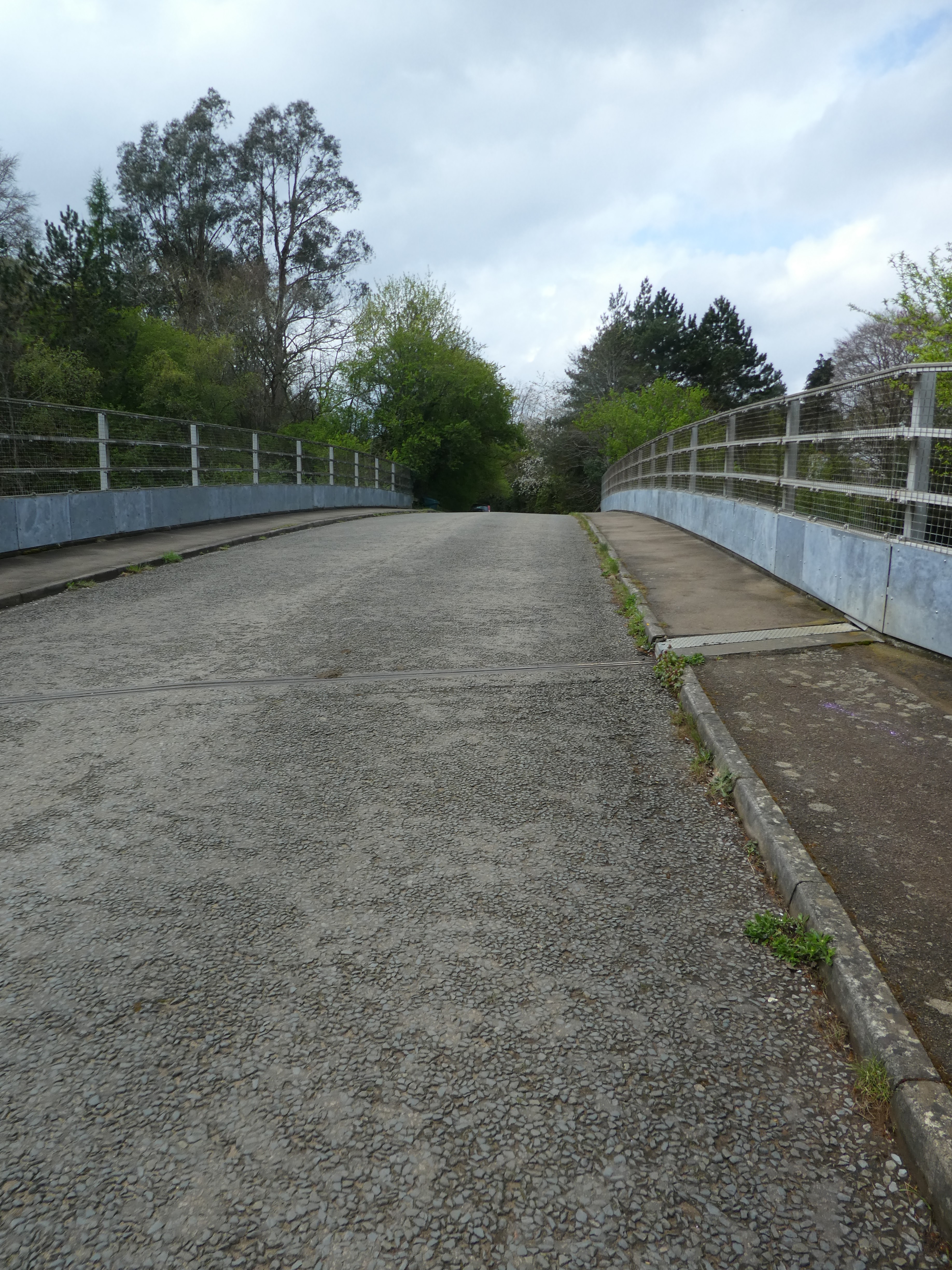
The track left the buildings and through the woods - slightly wet and muddy - up to a back road that crossed the A3 on a bridge.
Leaving the back road to the edge of the Mousehill Down. climbing up the initial slope before dropping down through the common to the car park.