We are having a few days with Steph in Mid-Wales after taking another load up to the storage facility in Presteigne. As she had a day off today, she wanted to take Sue off for a visit to Aberystwyth, and \I took the opportunity to go for a walk. A big choice between wandering the coastline or else stopping on the way. In the end I settled for a walk along the Cwm Rheidol, starting and finishing at the nature reserve of Nant Yr Arian. I would follow the Borth to Devil's bridge path from the reserve over the ridge beyond and into the Rheidol valley. Then along the valley to the end of the reservoir, before returning over the ridge into the Nant Yr Arian valley near Goginan, then up the stream back to the reserve.
Steph dropped me in the reserve car park next to the view point that looked down the valley to the coast. I was going to start on the other side of the main road (A44).
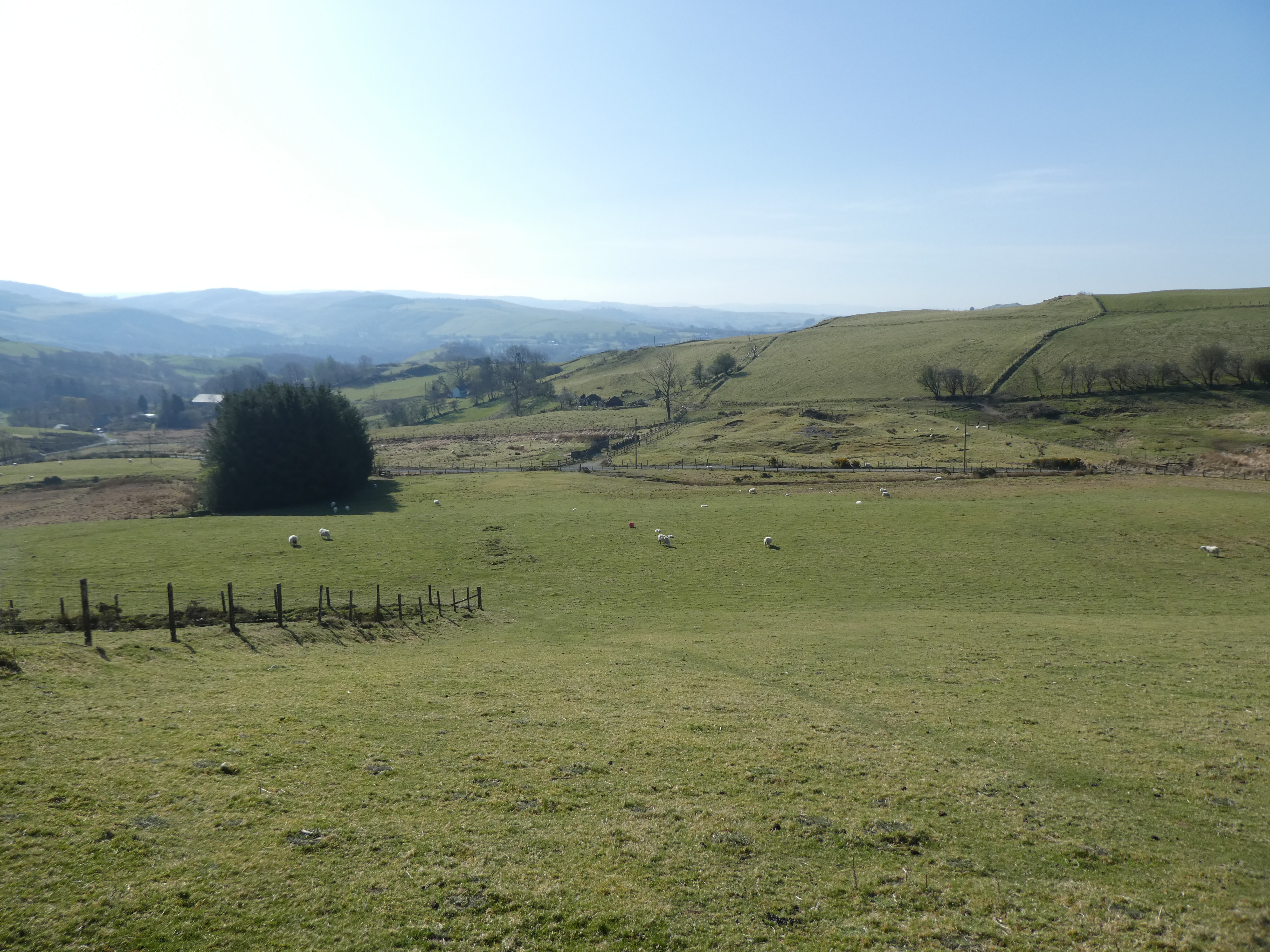
Over the road and onto the hillside pasture. there was a stile and signpost at the start, but after that it was dead reckoning over the slopes.
I knew I was on the right path when I found a second stile and a third down to a back road which dropped down slightly back towards the A44 before branching away beside a large sub station presumably to support the windfarm above.
Once more on a free for all up the side of the slopes on sheep tracks around the edge of the windfarm.
At a small col (with little lake) I crossed over this ridge and dropped down to a collection of houses around a lake - Llyn-Yr-Oerfa.
Onto a driveway around the end of the lake and around the slope beyond.
The driveway turned off to its house and the path continued to contour around the end of the slope. Then dropping through more sheep pasture to Ystumtuen.
This collection of houses around a chapel purported to date back to the days when there were lots of mines around here. Then following the back road/ driveway beside some fields.
The road gave way to a track that became a grassy path as it followed the edge of a ridge towards the Rheidol valley.
A small gateway/ stile left the field (once I had found it!) onto a path that cut through the trees above Cwm Rheidol. The path was narrow and along a very steep slope down to the river below, gradually getting wider as the slope eased up as I dropped lower towards the river below. On the far side (unseen though the trees) was Devil's bridge village and some falls, although I did see some cliffs.
The path flattened out as it approached some pasture beside a small cottage. The path followed the edge of this - still away from the river in the gorge to my left.
Onto the driveway for the cottage as it progressed along the valley, and mutated into a road.
The road now passed very close to the side of the river. At the upper falls, I passed several firefighters sunning themselves beside the river - It turned out that they were watching a suspicious part of the forest above for a wildfire and awaiting a helicopter with a bucket of water.
A bit further along I passed some mine working filter beds, before reaching a bridge over the river
I stopped in the middle to take pictures each way, in the hope of some more falls or rapids, but it all looked peaceful.
On the south side I moved through a field beside a smallholding and onto a larger path - this was the one that paralleled the steam railway. I did not see any trains as they were higher up, although I did hear their whistle.
The path meandered along the edge of the wooded slope and several fields beside the river.
I passed several mine spoil heaps before reaching some top loading furnaces on the edge of the trees. The path continued in the same way down the valley.
At a weir and the lower falls - below my path (although I could have diverted down to it, if I had been better prepared with a map rather than doing it all on the GPS!)
The path became a track as the reservoir started to grow below, and followed around it towards the dam at the end.
As I neared the dam it was obvious that pedestrians could not walk over it, so I had to go around the bottom on the road. However this gave me a great view of the down stream weir.
The other side was all calm... Looking up the hillside in front showed that I was in for a steep and rugged ascent.
And so it proved ... the path was partially covered in loose leaves to pervert traction however it was so steep that you could not walk straight up it. About halfway it eased slightly - still steep, but now walkable as it climbed up tot eh skyline.
The path came out onto a farm track that contoured along the side of the ridge climbing in a much gentler manner. I could have continued straight up the grass if I had so desired, but prudence called for me to follow the track as it zigzagged across it.
Up on the top of the ridge the path came back along it, before rounding a corner and dropping down the north side to a hanging valley. Then climbed back up once again to expose the Nant-Yr-Arian valley
The farm track continued until it met a back road, slightly down the far side, and I followed this down to the main A44 road near the village of Goginan. I looked for the continuation path from the main road, but ended up going down a farm driveway.
Partially down the driveway I tried to follow a path on the map that would take me back to the intended route, but the field this entered had no exits! So I returned to the driveway to also find a second path along similar lines did not exist either. At the farm - Blaendyffryn - I followed the drive next to the farm and out to a byway that was my intended route.
Now on this better track I followed it up the valley until it ended.
Onto a path now that climbed through a field and into some woods along the edge of a second field.
I could now work out the car park I was aiming for - up on the skyline and tried to pick out where the path I needed to take went. However aroudn the end of the field the path merged onto a driveway and so I followed it around the edge of the woods. Then I took a "path" which turned out to be more of a drainage ditch from the slope. The path I had planned was hidden up the other way on the drive.
All was not lost as my route ended up at a track that contoured the side of the ridge above and I followed it aroudn and back to the car park. I believe this was called the miners path as it had some narrow sections with steep slopes above and below.
Back at the car park, I had some time to kill before my pick up, so I determined to climb up the ridge to the view point
Sitting on a rather large chair/ bench seat on the ridge gave me views all around and a perfect place for lunch (but best of all was the bottle of lemonade I had carried all around with me just for such a moment!)
From the viewpoint I followed a path that led down to a gravel track, and hence back to the car park. y now I was feeling the walk a little and the rest had stiffened up my legs.
The route back took me above the lake where there were many stops to see the wildlife as well as a Red Kite feeding station If I had realised I could have continued on my path down to the lake and back through the visitor centre, but I was not sure how much time I had, nor if my legs would protest too much.
Back at the car park I found a sunny spot to sit and take my boots off while I waited - not for very long - and the return trip to Newbridge.