Sue was content to sit in the van and read for the afternoon, so I picked out a walk around the skyline from the campsite, Over Black moor to Denholme then across to Thornton moor over Nab hill before dropping down to Oxenhope. Along to the railway station before climbing back up to the campsite (as directly as possible)
I left our the back of the campsite on the track we had taken the night before, then angled to the east end of the moor.Down to the back road (the same as for the pub but further east). I could not see the track on the far side so followed a zigzag along the road to the next lane. Down the lane past some house and a climb to some trees.
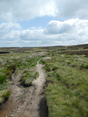
A sharp turn in the trees led to the pastures of the top of the moor. Across the pasture on sheep tracks going roughly in the right direction.
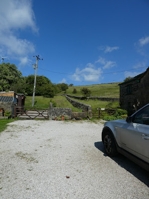
Down the far side to a field edge above the lane I wanted, however the path did not access it and I had to make another diversion aroudn the field to reach Hill top farm and back onto the lane.
Along the lane to its end where a pasture field continued to the B6141. the path through the field had interesting turnstiles at each edge.
A short section along the road before down a lane leading to the cow pastures beyond.
Now on the Millennium way across a more scrubby field to the houses beside Thorton moor reservoir. Here I turned the wrong way for a short while, before retreating.
Around the end of the reservoir (hidden behind a slope), with views down to Leeming reservoir and Oxenhope.
Around the end of the reservoir and along Hambleton lane
Leaving the lane to angle across the slope for the top of the ridge, with several steep steps up.
Once on the ridge it flattened out and I made my way to a huge stone structure standing tall.
Looking west and north from the shelter.
Looking east and south from the shelter
I continued along the ridge towards the next stone, but the path diverged into a gully passing the stone, then dropping towards a back road.
Looking towards Warley moor reservoir, where the path met the back road, before turning sharply down along it.
Back on a path that formed two side of a rectangle away from the road, then back down to it.
Over a water canal (presumably feeding Leeming reservoir) and onto Nab water lane.
Leaving at the junction onto Isle lane to head towards Leeming reservoir.
Along the green lane as it descended to the reservoir end.
More a path than a lane as it neared civilisation.
Onto the residential roads of Oxenhope lower town.
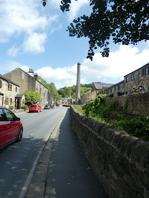
Along main street and an old mill, interesting sculpture in the stream below the road.
The main street led to the car park in front of the railway station.
I did drop down to the yard to check on times (so we could ride the train tomorrow).
Then up the lane to cross the A6033 continuing steeply up Dark Lane. Then things got complicated! I picked a direct route on paths from Lower Hayley farm to the campsite, however if I had stayed on the lane a bit more a slightly divergent route would have made it.
However I contoured along the grass fields on the marked path for Worth Way. Then cutting up the side of a field and through some dilapidated stiles to reach a farm yard. Here the path disappeared and there were no gaps in the fences, so I had little choice but to follow its drive back down to the Worth way.
At the next farm house (on Worth Way) I followed the path out of the end of its drive and heading away from the campsite, up the grass slope to the edge of a plantation.
Along the plantation on a further lane which led up to the back road we had walked along this morning. hence back to the campsite.
I should have continued on the earlier lane to Upper Hayley then crossed Bentley hey and it would have been more direct than I was able to make.


