Katie was still doing the conference thing today , so Sue & I chose to
go up to the "tip of Denmark" and see the meeting of the seas - where the Baltic
sea meets the North Sea. When I first looked at this I thought that a good walk
would be to follow the longer (red) route, back to the lighthouse then across to
the radar station and around the top, then coming back via the yellow route.
This would have been a stretch for Sue, so I started thinking of a shorter
route, maybe straight across to the radar station. In the event once we arrived
at the end of the road and saw the huge numbers of vehicles, we realised that
the whole peninsular would be very crowded. After buying a ticket for a couple
of hours we stepped out into a very fierce wind. This was not conducive for a
longer walk so I shortened it even further and settled for the yellow route -
even this would be a challenge for Sue with her "sticks".

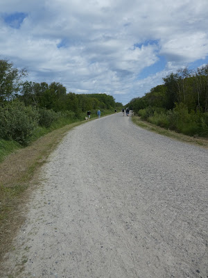
A slight adaption to the itinerary was that we would walk up the tractor track
to the end of the peninsular then walk back along the beach.
We set off up
the sandy track, luckily pounded down by the traffic.
We soon met the prime driver for the wide track - a huge tractor with a
passenger trailer. There were three of these working in relays one loading at
the start, one waiting at the furthest point and one driving there. this one
then changed places at the furthest point and it drove back to release the one
at the start.
the closer we got to the tip the wider the track became, and
the flatter the landscape.
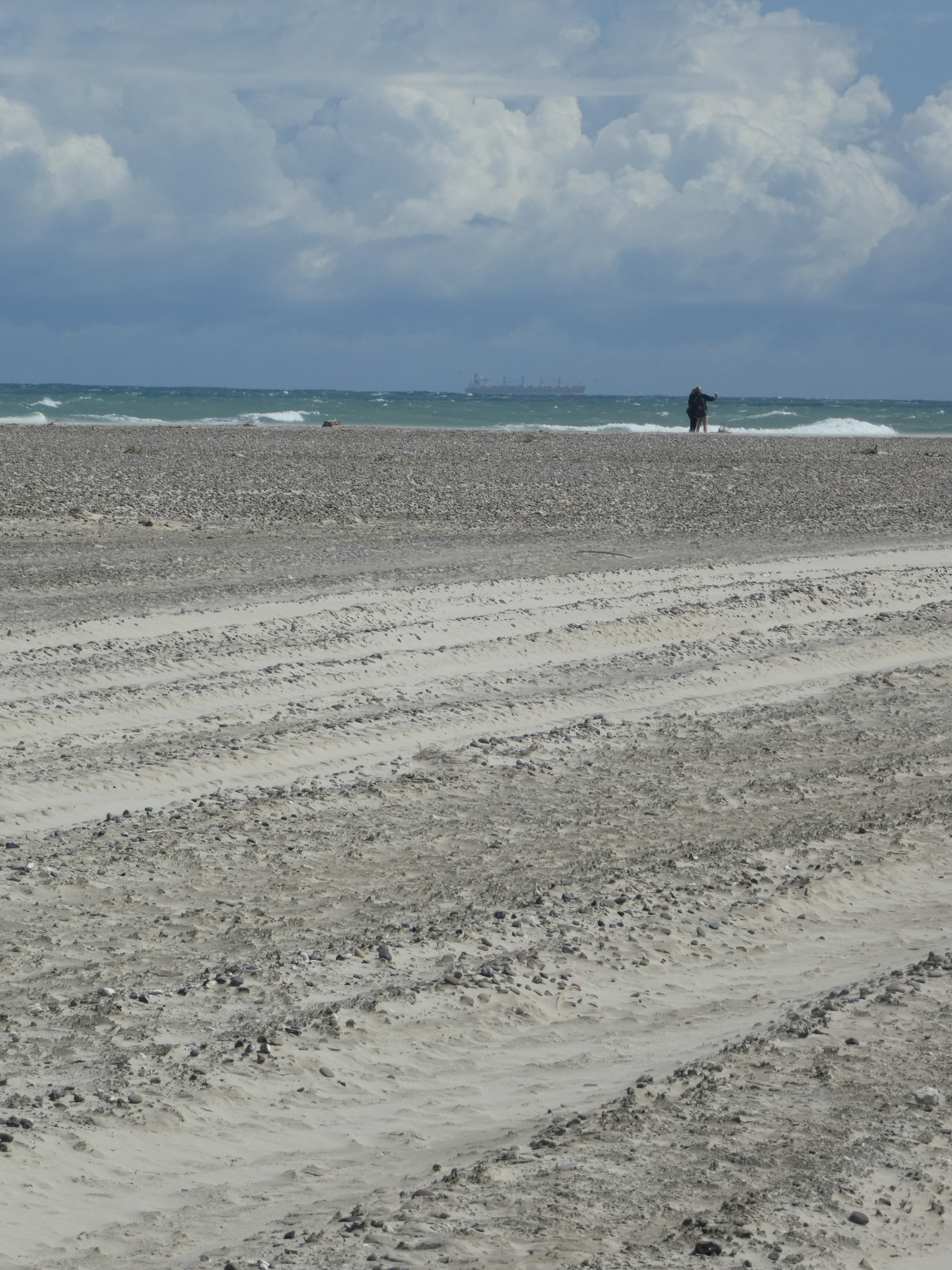
Arriving at the beach - a huge area of sand, something we would get used to on
our travels through Jutland! Out at sea a ship was crossing into the Baltic sea,
then across the increasingly softer sand.
The softness of the sand and also
walking across the wind reinforced the decision to stick to the shorter
route.
We crossed to the edge of the (North) sea to find some firmer sea - the tractors
had made separate tracks for each trip rather than following previous ones - I
think this was because the wind blew the loose sand into the tracks and made
them very soft, while the untracked sand had a firm surface.
The sea at the edge of the peninsular.
We then walked across the end of the peninsular to the tip - and the huge
gathering of people - both those who walked and those who rode there.
The tip had a slight shelf that led out along the junction of the seas and
numerous people took their shoes off and walked along as far as they could
dare.
Out along the separation line you could see where the two seas met
with the line of breakers going out to sea.
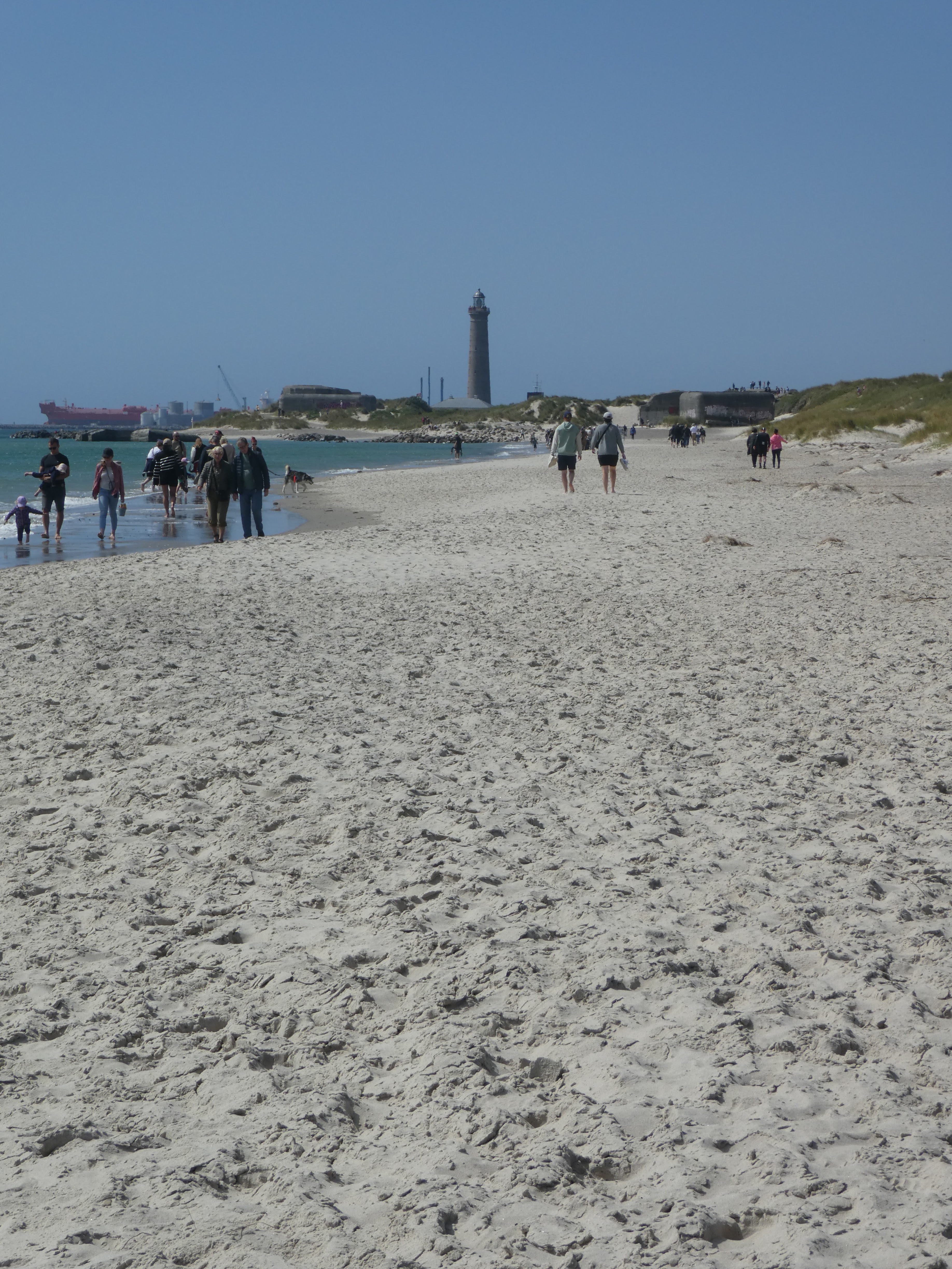
Time to turn back - this time along the much more popular route along the beach.
Looking out into the Baltic sea.
Looking back to the tip, the you could see the meeting of the seas much better
from this side.
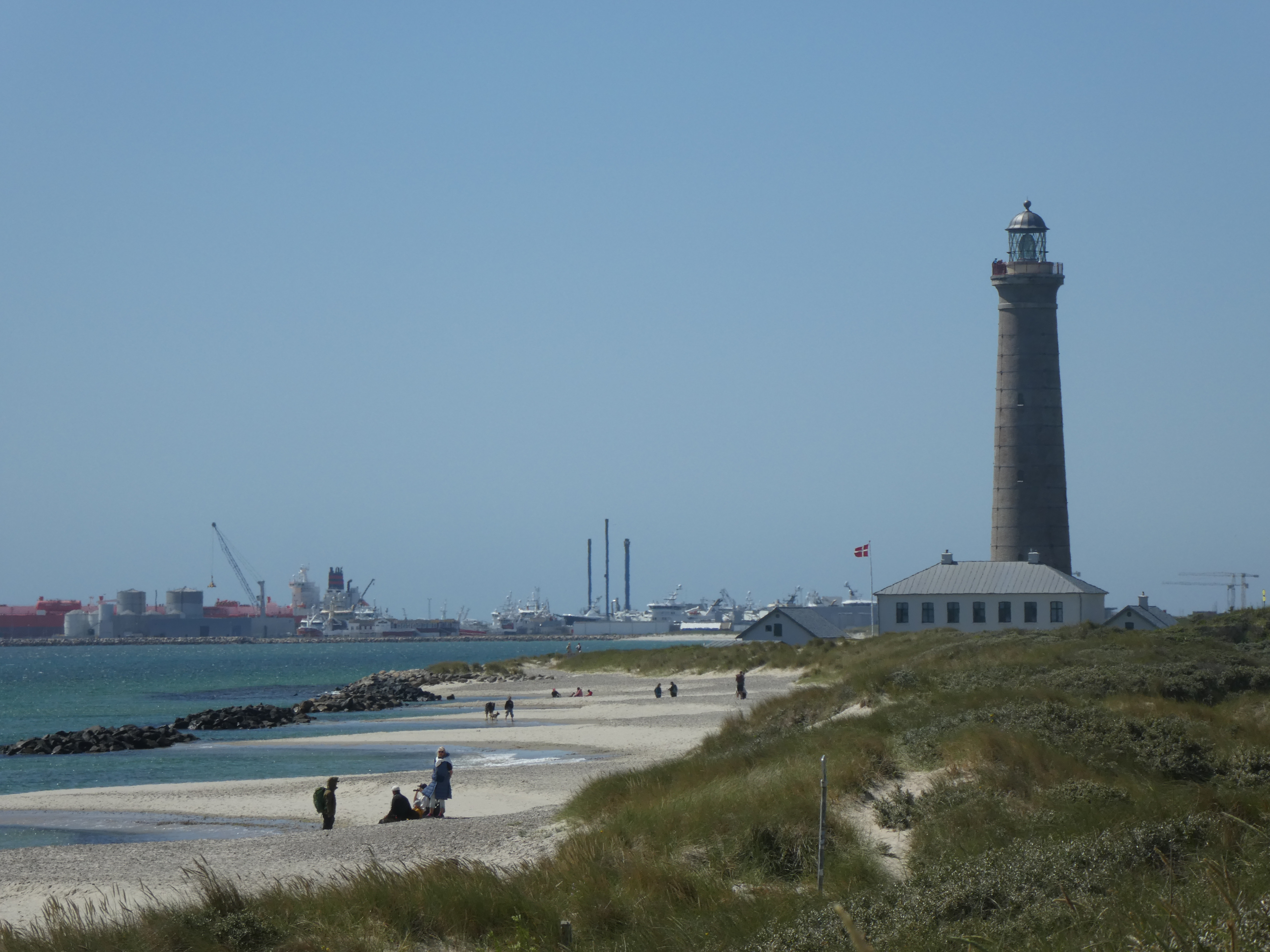
We walked back along the edge of the beach - the wetter sand was firmer. heading
towards the lighthouse and the ships in the Skagen port.
When the
beach ended at a rocky outcrop we climbed up past a couple of bunkers from the
"Atlantic wall" - it curved around here before jumping over to Norway.
Down to the next beach and along to more bunkers
This was the last outcrop before returning to the car park and had views down to
Skagen past the lighthouse. The bunkers themselves were all sealed up.
From the top of this promontory it was possible to see the trail of people
heading out to the tip, then it was down and back to the carpark.
Back at the car park (and associated retail outlets) we chose to move on and
find a place a little less occupied for lunch and escape the press of people. I
hesitate to think how many more people would have been there if the weather had
been less windy!