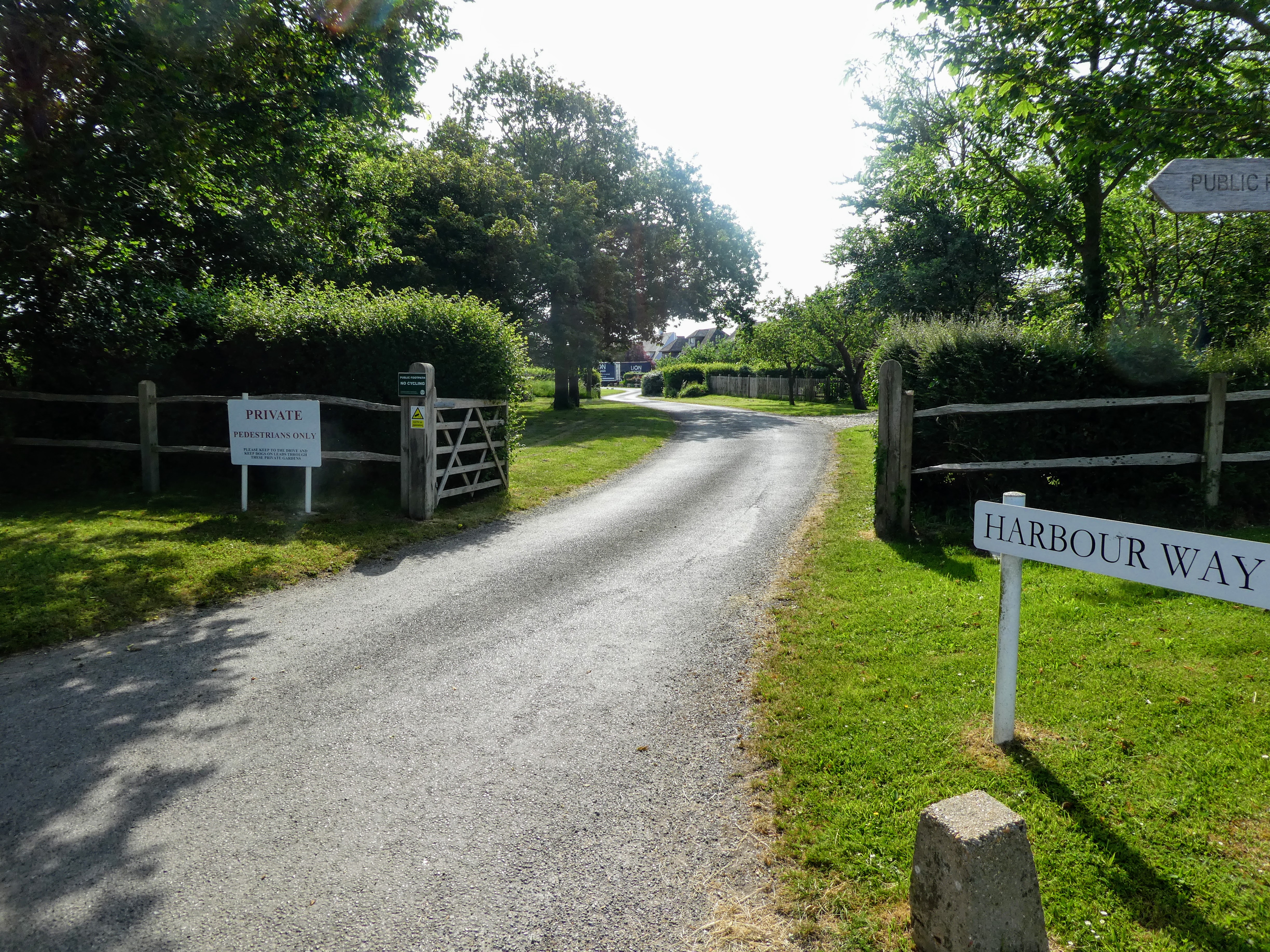
The weather was still very hot for June and it was not predicted to break until the end of the week, so we decided to have a walk beside the sea. Chidham Peninsular looked suitable and not too long so we could also take in Kingley vale on the way home, as it was on the way.


Looking across to Bosham along the line of the remains of a landing stage.


Approaching Cobnor house, passing some wet land ponds - we started to meet
other people walking and the strange sight of a large boat permanently fixed
to a jetty. Cobnor house turned out to be a Christian holiday camp for
youngsters. There was lots of activities going on in the grounds.


Once around the house we cut back to the coast and continued to the South and
the end of the peninsular.
overhead were a number of airplanes of vintage era flying around from time to
time ... I guess they must be practicing for a display of some
variety.


 Turning the corner of the peninsular we were now facing towards Portsmouth and
the Spinnaker tower.
Turning the corner of the peninsular we were now facing towards Portsmouth and
the Spinnaker tower.

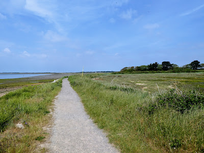
 The nature of the trail changed again and dropped down onto the foreshore -
the occasional tree bend to the prevailing wind clinging to the bank.
The nature of the trail changed again and dropped down onto the foreshore -
the occasional tree bend to the prevailing wind clinging to the bank.


Continuing down to Cobnor Point looking over to Bosham ferry. The track on a
raised breakwater separating a tidal basin area.


Looking to the end of this section the estuary and the church in
Southbourne.

 Reaching Chidham point we turned East, still following a bulge in the end of
the estuary
Reaching Chidham point we turned East, still following a bulge in the end of
the estuary

 At the end was a concrete barrier, which we only followed until the fields
started on the right ... In wet times the path continues for a bit
further before coming back on the other side of the ditch , however it was dry
and we could cross where the path cut east through the rape fields.
At the end was a concrete barrier, which we only followed until the fields
started on the right ... In wet times the path continues for a bit
further before coming back on the other side of the ditch , however it was dry
and we could cross where the path cut east through the rape fields.


A stop for a bit of refreshment then continuing on across the fields.

 The fields were a mix of rape, barley and broad beans - latrge and flat with the track cutting along an edge. The occasional hedge but generally open.

 Chidham village ... and the remains of a farm cart.
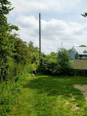
 the last section cut across between some overgrown glasshouses and more arable fields.


Back at the van - very hot despite the shading. Bertie was stinking and covered in black mud, and managed to spread some on the seats as he jumped in.

