The jigsaw of walks on the South Downs way was getting harder to plan as we had completed all the sections within an hour of home, and the remainder needed a little more initiative. We were off to see Steph in Wales, and one of the routes was along the A272, which provided a good excuse to stop at East Meon and complete a circuit extending the completed sections closer to Winchester.
We parked in the car park beside the football pitches and allotments, then walked through the village past the two pubs. Across a second recreation ground , and down a lane and a footpath all heading east. Today had a lot of walking on ancient lanes, and we picked up the first one heading East until we arrived at a five way junction, and tuned south on Cumber's lane.This came out on a minor road where we turned once more to the East and followed it until Leythe house farm, the original idea was to turn South East onto Limekiln lane which had a more gradual ascent upto Butser Hill. We could have taken an alternative track from the five way junction and a parallel lane ending in Rake's bottom, with a steeper climb.
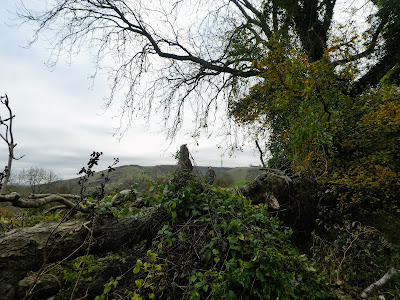
As the lane climbed up the initial slope we saw a footpath closed sign with a rough sketch that was hard to decipher exactly what was closed. As there was little sign of any work at this end, I brazenly continued up the slope. On the ridge we had occasional glimpses of the top of Butser Hill and the antennae.
Further along Lime Kiln lane on the flatter section, there was more evidence of work - hoggin patches and vehicle tracks. Towards the point where the open access area of Butser hill we met a small dumper truck coming along slowly and with much revving, and the driver gave us a lecture about walking on a closed path, which was closed because of the plant moving up and down it. We said that we would be off it very shortly and before he came back.
Leaving the lane for the open access land around Butser Hill, we picked a rising traverse path
Towards the top of the slope, we could see some objects in the sky, which
turned out to be remote control gliders.
A good view of the route onwards, down another long ridgeline back to the West
and North.
Coming out at the car park (expensive if you want to use it), and then along the
road - an extension of Limekiln lane. We passed a digger and pile of hoggin -
there was only two people working on the path and it was very easy to avoid the
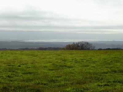
plant.There were views down to the coast and portsmouth harbour, Hayling island and maybe across to the Witterings.
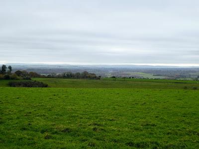
The SDW now cut away from the road and followed a series of rolling hills through the pasture fields.


Then into a beech wood, which we contrived to meet a number of the local dog
walking services all out exercising large packs of mixed dogs.
An ideal opportunity to stop nad have a refreshment break.
Just after the main entrance to the centre we turned north off the road and up a lane, which rose gently up to Salt hill and some more aerials. From here we had views across to the Isle of Wight, as we continued along the ridge gently descending to the north. The track became sunken and the views disappeared as it got a little steeper
The path became a lane again as it flattened out after the ridge. At the point where the SDW cuts West again we turned back East to return to East Meon exiting the woods as it opened out to fields.
The other side of the bump with a farm on it we came down the drive to the road into East Meon. The church showing where we needed to go.
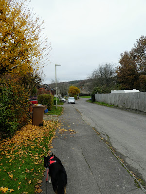
Following the road around into the village and then cutting across through the housing estate and back to the football fields and car park, which now had a couple of additional cars in.


