31 May 2023

Devil's Dyke Southern Circuit, South Downs

Constant high Pressure has led to more warm sunny days, although the wind is getting stronger. I had planned a route to the south of Devil's dyke heading down towards Portslade then curving back up and around to retouch near Patcham. Returning up to the Dyke via the Saddlecombe farm.

We parked in the summer down car park, overlooking the dyke, and followed the road up - we avoided the main path due to the two very "energetic" dogs running free. The other side of the road was scrub, but with several paths running through it.
Touching the road once more we turned down the track crossing the Dyke golf course, with views over to the sea beyond.

When we arrived at Devil's Dyke road we turned up the track along the edge of the golf course back up towards the end of the dyke - we had followed this extra loop to get away from the crowds going towards the Devil's dyke pub and lookout. 
We turned down the green track down a tongue of land sticking out between the fields. Protected from the cattle by fences on both sides.
At a crossroads of paths we turned down to the farm track towards New Barn farm, then up the concrete road on the other side. Over the A27 on a bridge before following a path beside Foredown road.
In the residential area we followed a road down to a roundabout then up the other side - in an overgrown green space.
The green space opened into Benfield Valley golf course - which cannot have been a full one but rather a few holes only. Then back over the A27 on a foot bridge.
On the north side of the road we avoided West Hove Golf Club by climbing Benfield Hill.
Over the top of the hill and back to the crossroads to take the fourth track heading east. This dropped down around the end of the golf course.
Now on the Monarch's Way we crossed the bottom of the valley and up the other side
Across a track (a Dismantled Railway base) and alongside the club house for yet another golf course - Brighton & Hove - proudly advertising as the oldest in Sussex! Along the driveway up to Devil's Dyke road
Across the road and through a couple of fields following the map, but I suspect a better path would have come from the nearest car park. Across teh Saddlescombe road and down the drive way to what is now a nature reserve and education block - on the map it is shown as Waterhall golf course!
Beyond the nature reserve we dropped once more down towards the A27 ... looking over to the windmill on Coney Hill
The path came out at the club house for the playing fields, before walking along the playing fields.
At the far end of the playing fields we crossed and started climbing up Winterhall hill - another nature reserve. However we had to drop down a little to pick up the bridleway heading over Sweet Hill, and climbing once more.
Up on the rib we merged onto a chalk track heading straight to teh skyline.
We left the chalk track when it curved away, continuing along the side of the slope until we met the SDW. We followed it down the slope to Saddlescombe.
Past Saddlescombe farm and the donkey wheel. Across the road at teh bottom and up the other side (still on the SDW).
Climbing up the side of the dyke, until the SDW passed the car park
Back to the van for lunch and Bertie downed a litre of water - most of the sources we had passed were behind fences in cow fields.


30 May 2023

Plaistow long loop, Return via SBP

 Overcast with a forecast to clear during the morning, and Sue was off for her weekly visit to Wellcross Grange. I worked out a loop out around Plaistow and across to meet the SBP beyond Durfold wood, then back along the SBP and down the Lane.

We headed out of Ifold and back along Plaistow road, so we could dive into Corner Copse before along Foxbridge road up to the track along the stream. where this came out onto a farm track we crossed over into the field beyond then across the stream rising past highland cattle.

Across Rickman's Lane and into Rumbold wood and towards Rumbolds Farm.
Turning up towards Plaistow and across the village green. A pause at the stores and a deposit into the poobin then out towards Nell Ball and down the bridleway there.
The bridleway mutated into a track across grasslands up to Birchfield and its grass track runway.
Turning up towards Birchfield Copse, still ont he bridleway. Once in the copse we took a slight path to the right - the aim was to cut the corner, however it continued into Kingspark wood. Not really sure about permissions in this wood, but we followed the track as it round through the wood and out beside a barrier - the saving grace was the number of boot prints all around.
We crossed into Ashpark Wood across Shilinglee road following the main track then the continuing footpath. A zigzag and we went through Durfold Wood to pick up the SBP.
Once on the SBP we continued East and through Dungate farm. A wider loop in Upper Ifold Wood to meet again near Julie's house. Then along the road/ driveway until we could cross onto the Lane. Following the lane back into Ifold then along the Drive home


29 May 2023

Ifold, Kirdford, Plaistow, Ifold, Local

 Bank holiday and Sue was spring cleaning, so Bertie and I went for a walk to get out of the way. We planned to drop down to Kirdford, then around to Plaistow and back home ...  all on the local paths we use fairly frequently.

Going out of the village down the drive, and along the path beside Ormond House, across to Fox cottage and down the track towards Wephurst. Keeping on the track and into the furze, then working across to the sheep dog training field, before dropping down the paths and rives into Kirdford.

Along the main street to the shop (with a pause for a snack) then past the new estate construction site and into Great Common.
across the road and into Mackerel's common before picking up the track leading to Crouchlands.
Beyond Crouchlands into Rumbold wood and up to Plaistow. Across the green and down the track leading into the fields.
Return across the fields - similar to the Bread run in reverse, however in place of dropping to the cow byre we crossed down the fields on the reverse side to Hogwood farm.
Following the driveway before working into the back of Ifold along the lane.
Cutting across the twitten and up the drive.


24 May 2023

Fox Way, NW Guildford

 There was a gap in our completion of the Fox Way (circular tour of Guildford) and I chose today to complete it. The aim was to park in the Shackleford Heath car park next to Pepper Harrow, then follow the fox way down to Merrow, then across to the edge of Hurtmore. Turning north passing Compton to cross the A3 on the junction and into Puttenham golf course and up to the Hogs back (A31). Heading in the same direction to Wood Street Village - staying in the common woods before angling across to Whitmoor Common. Pick up the Fox way again from here heading west past Worplesdon and Merrist Wood college, up to Henley Park. Turn south here through Normandy village, Flexford and Wanborough to cross the hogs back once again. Through Puttenham and Shackleford before returning to the start point.

Parked in the car park - only one other vehicle, and dived into the woods, heading across the heath to pick up the fox way. Across the back road and down beside Pepper Harrow.
Across the fields beyond heading down to cross the A3 at Lower Eashing beside the petrol station on a foot bridge.
Leaving the Fox Way and going along a track past stables which then mutates into a path along the valley.
Leaving the valley to climb up to the outskirts of Hurtmore, then along a lane that came out on the Godalming road.
Back into the fields on a fenced off path, climbing up to Westbury Barn.
Looking across from the top of this rise before dropping down to the back road and the over pass junction of the A3. A bit of traffic dodging to cross two roundabouts and the main bridge.
From the crossing we missed the path and ended up following a second one onto the Puttenham golf course, and had to circle around avoiding the golfers.
Down onto the North Downs Way to work back to where we should have been ..  passing the houses of Monkgrove.
Climbing up to go over the Hogs Back, then leaping across the dual carriageway, and looking down the other side, fields with mowed paths.
Down onto the driveway for Flexford house and following it all the way to Bushy Farm - very residential.
Beyond the farm buildings we moved into Backside Common - just south of Wood street village. Initially very churned up and we were glad it had dried , then after going under the railway line we turned east on substantial tracks - not necessarily marked on the map, but leading to Chapelhouse farm.
From the farm, once again on unmapped tracks we turned north through Broadstreet common and across the back road
Down the driveway for Dunmore farm, and the continuing farm track  - we should have followed the edge of the field instead. Across the A323 we followed a back road as it skirted the outskirts of Guildford conurbation up to the A322.
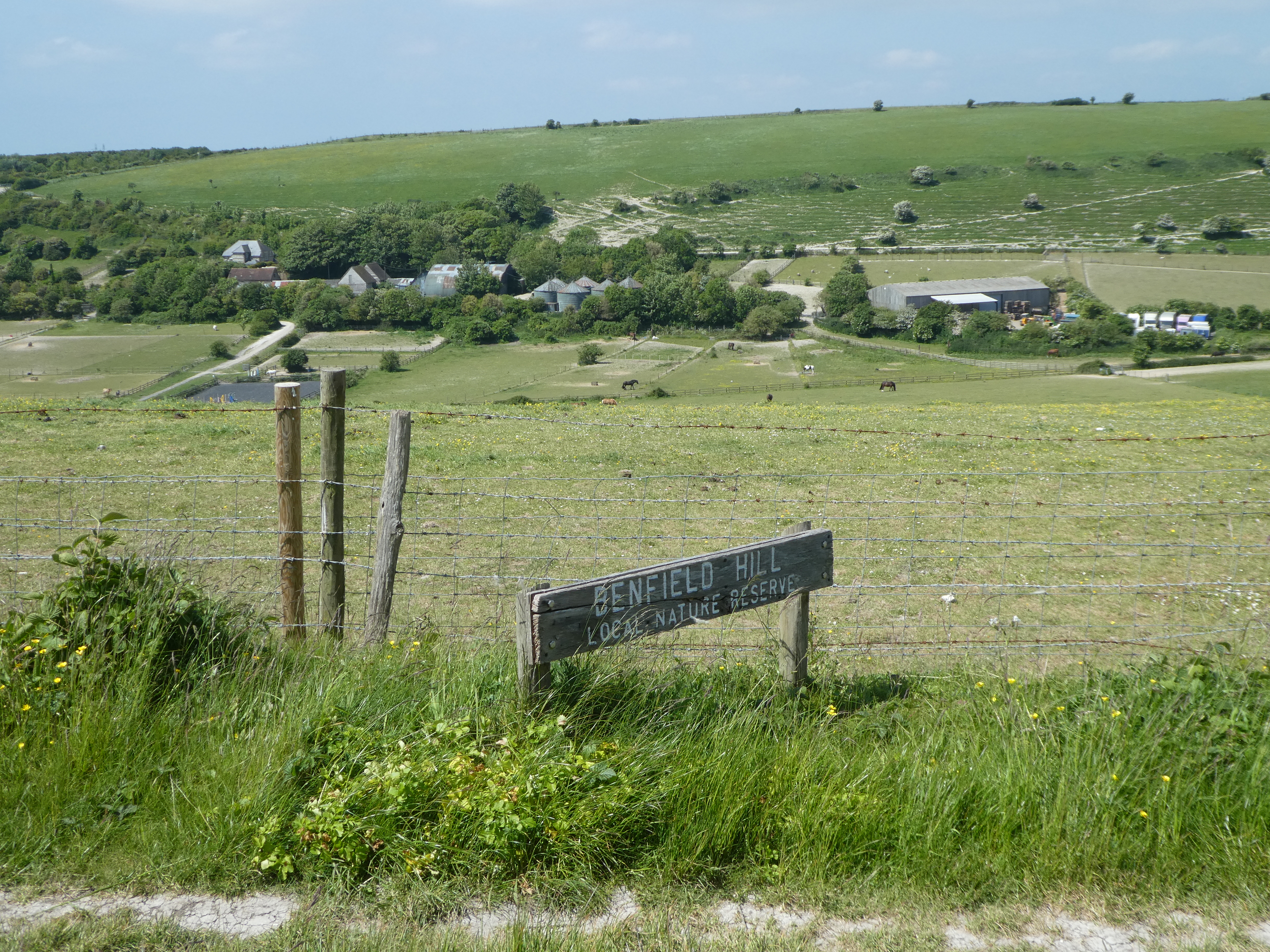
Across the busy road and onto Whitmore Common - staying on the western edge to meet up with the Fox way at the point we had left it last time.
Turning west on Fix way towards Perry Hill coming out at St Mary's church with its huge parking area.
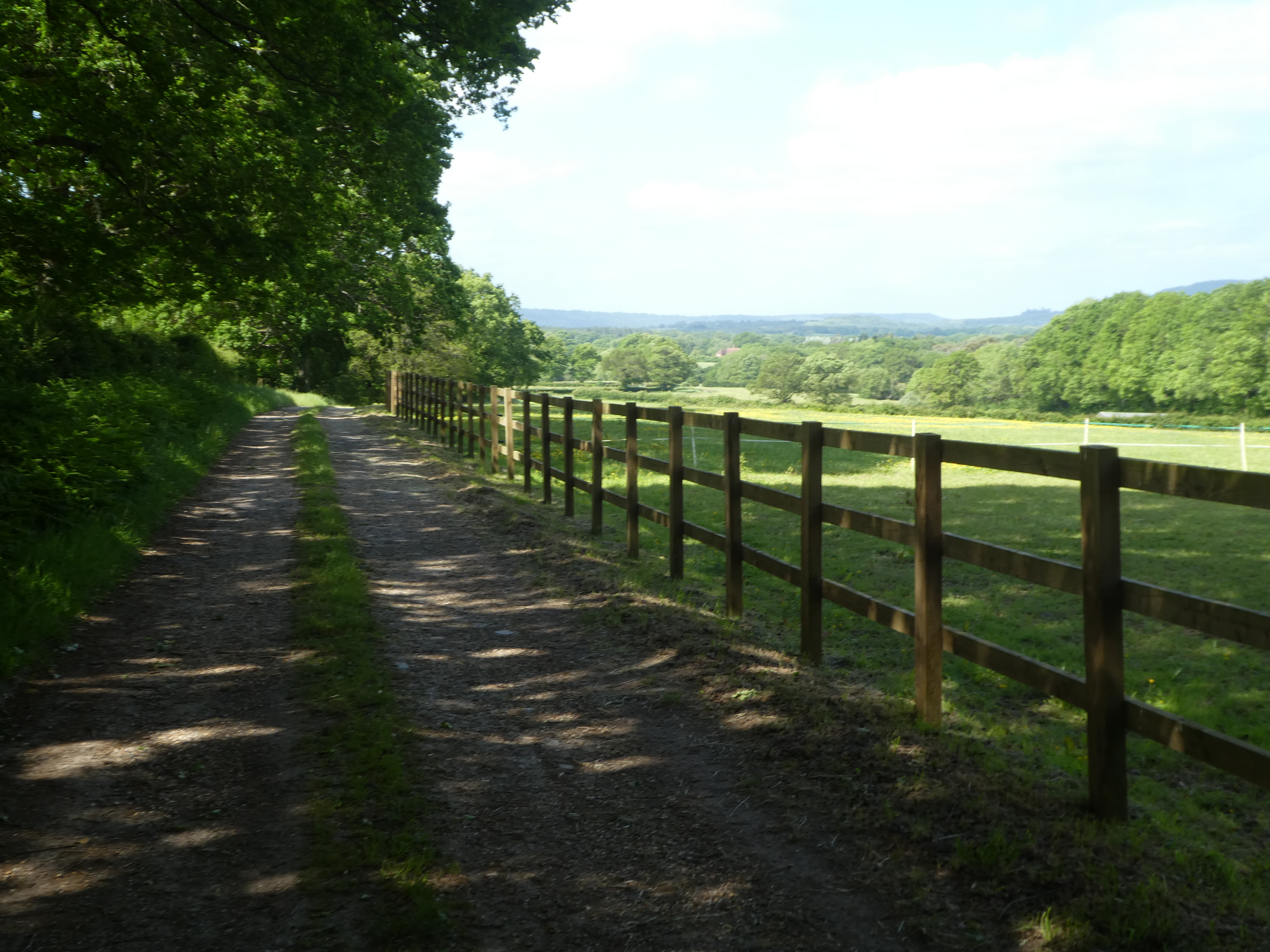
Back across the A322 and down Combe lane which led to Merrist Wood College.
The path goes through the college - well kept and looked after - even had a crocodile wooden sculpture.
Into the fields beyond leading down to the edge of Merrist Wood golf course.
The path followed the side of the golf course, however it was hidden away from the golfers in the woods
Across a back road at park farm and into Henley Park - diverting around the business park.
The Fox way turned sharply South down a path with the remains of the original secure fencing.
Into fields beyond - very much left fallow which would have been swampy in the wet.
Through the edge of Normandy and across the A323 into more fields ...  beside the nursery the mapped path had changed and we navigated through the neighbouring field. A refreshment pause looking across to the south. Then continuing down top the railway, crossing it.
On the other side we passed through the edge of Flexford and a set of stepping stones.
The arable fields beyond looked down to the Hogs Back. Very warm in the sun as it followed the hedge line down to Westwood Lane
Through Wanborough and up the overgrown footpath beside the road until we could angle across the slope up to the A31.
Down the other side of the Hogs Back, and through the village of Puttenham. A pause to fix a heal blister and continued through the fields.
Over a slight ridge and down to the back road leading into Shackleford.
A long stretch on the back roads through Shackleford and out down Pepper Harrow Lane. At the boundary of Shackleford Heath we cut across it to the car park.