My next AAC walk will be a linear one from Godalming to Wormley (the station is called Witley but that village is up the road!), taking in the Thursley Common. There were still some aspects of the the walk I wanted to sort out, so I determined to do a dry run ahead of time. The walk was based on a longer route I had looked at earlier in the year - here. This time I would actually use the train to link the start and end points rather than walk.
I parked in the largely empty station car park at Witley station and caught the train going towards London (over the bridge), and soon arrived at Godalming station ... Here I had to go over the bridge to get to the main entrance and car park. On the real walk this is where we will all meet - I could have parked here (£1 more expensive) and caught the train on the way back, but I like the concept of a car waiting rather than trying to schedule into a train - As it happened I would have had 50 mins wait for the next train either way,
At Godalming station I left the main entrance (ticket barrier) and walked across the top level of the car park to reach the stairs to the lower level, and onto the lane under the tracks.
Up the far side of the station and onto the driveway up past the epilepsy centre, then the bridleway that the driveway turned into. This was the fox way and curved around a new housing estate.
This merged onto the halfway lane, then along it passing the Caper & Berry warehouse and the Fitzpatrick surgery onto a back road near Upper Eashing. Along the back road around an alternative farm yard with shops and workshops.
Escaping onto a path leading down to the river Wey, over a grass field then through the scrub beside the river.
Arriving at Eashing bridges and associated mill building.
Leaving the Fox way and following the road then climbing up to a large crop field.
Turning into a grass field with wide dog walks around it, then picking up a bridle way down to the A283.
Over the major road and down beside the edge of Milford village. Turning parallel to the A3 before it was reached.
Still along the edge of the residential areas and down beside the NFU building.
The track became a gravel track before it reached a back road that crossed over the A3.
Climbing up the slope into Mousehill Down, and over a clearing
The path led down to the man car parking area. Over this and into the common beyond.
Following the Lizard trail through the common and on to Rodborough Hill.
I did not find the direct route and had to circle around and down to the back road that served Borough farm.
Into the nature reserve area on the far side - this was clearly not as well used. although the path was obvious.
I followed a path that supposedly led to a dam at the end of some ponds, but the path got faint then at the boundary of the nature reserve a big sign and locked gate turned me away.
So... along the boundary until I could pick up a track that led back to the back road and so along it to the gate for Borough farm.
Here along the bridleway through the private woodland areas. Into the edge of Ockley Common, and through a pine plantation.
On the sandy path up to the edge of the MoD Area then turning across Ockley common. A bend in the track angles away from where I needed to go, but this was Ok as it led to the start of the boardwalk.
Along the boardwalk and down beside Pudmore pond.
Around the end of the pond and then turning into the "island" of slightly higher ground.
Leaving the boardwalk and along the sandy path of the dragonfly track.
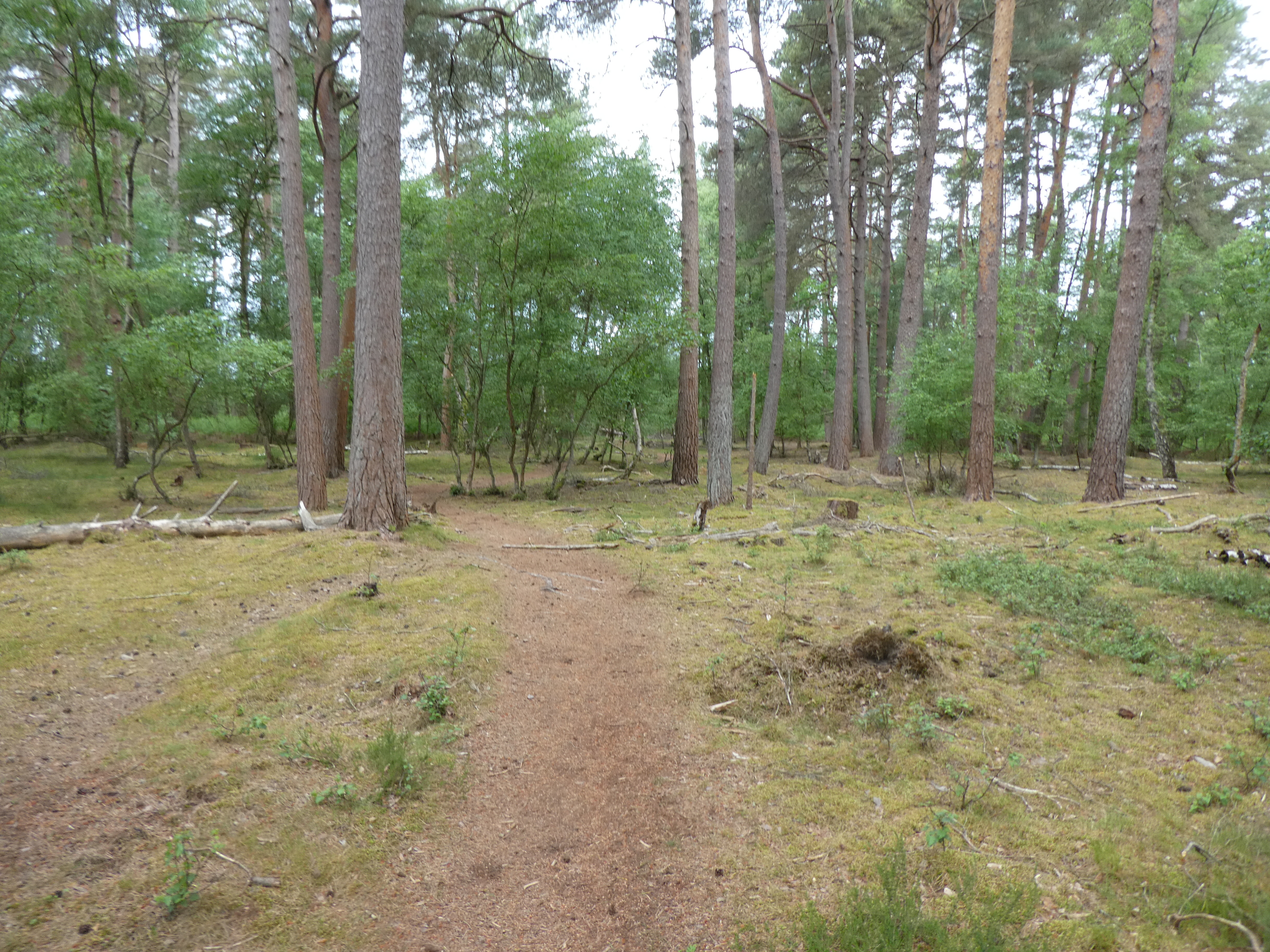
At the start I followed the track heading to the higher ground of Thursley Common.
The track then became "paved" with a mixture of stones and clay. It climbed up the the top of Thursley National nature reserve.
Down a scrubbier side to the three horseshoes pub
I avoided the pub and continued to the village green, before turning down a back lane to reach the Greensand Way.
Leaving the lane to cross a crop field and a path between fields that ended up at a lane parallel to the A3
Along the lane and under the major road, taking the driveway to Cosford house.
Past the big house and down beside a cottage to cross a stream - the first muddy part of the walk, although it did have some plastic barriers to walk on.
A steep climb on the other side of the stream led to a grass field. Over French Lane and down beside Heath Hall.
The path circumvented the house in a field and onto the driveway on the far side.
Over the drive and down beside a further house and a tree lined path leading to the gateway into Lower house.
A dip and a climb up the far side on a gravel track.
This led to a wider track through a grass field into the woods beyond. This ended at another gateway - this time to Witley Park.
Along the back road to a junction with Hazelmere road (A286)
Int Heath Hills and another climb - on an ancient sunken track
The track then followed the top of the slope around grass fields.
Around Hill House and onto Church Lane. Turning steeply down to Sandhills
Into the open access area and down once more very steeply and onto a green lane leading through the woodland towards Wormley.
A zigzag and the path had an exit onto the Witley Station platform. I crossed the bridge and into the car park where the car was waiting to take me home.