The weather forecast for the week is unrelenting sun and getting a degree hotter each day. So I decided to get out early and also at the beginning of the hot spell.
To save driving time I picked a local route, starting at the White horse in Hascombe and going up the hill fort behind then around the ridge to pick up the Greensand way, up through Wintershall and Gatestreet, before turning to Thorncombe. Through the Arboretum and across to Haydon's ball, before a large loop to Wormley and back to Hambledon. Back across on Vann lane and over the Hurtwood.
I parked in the layby opposite the pub and walked up the lane beside it. Then into the woods climbing behind the garage.
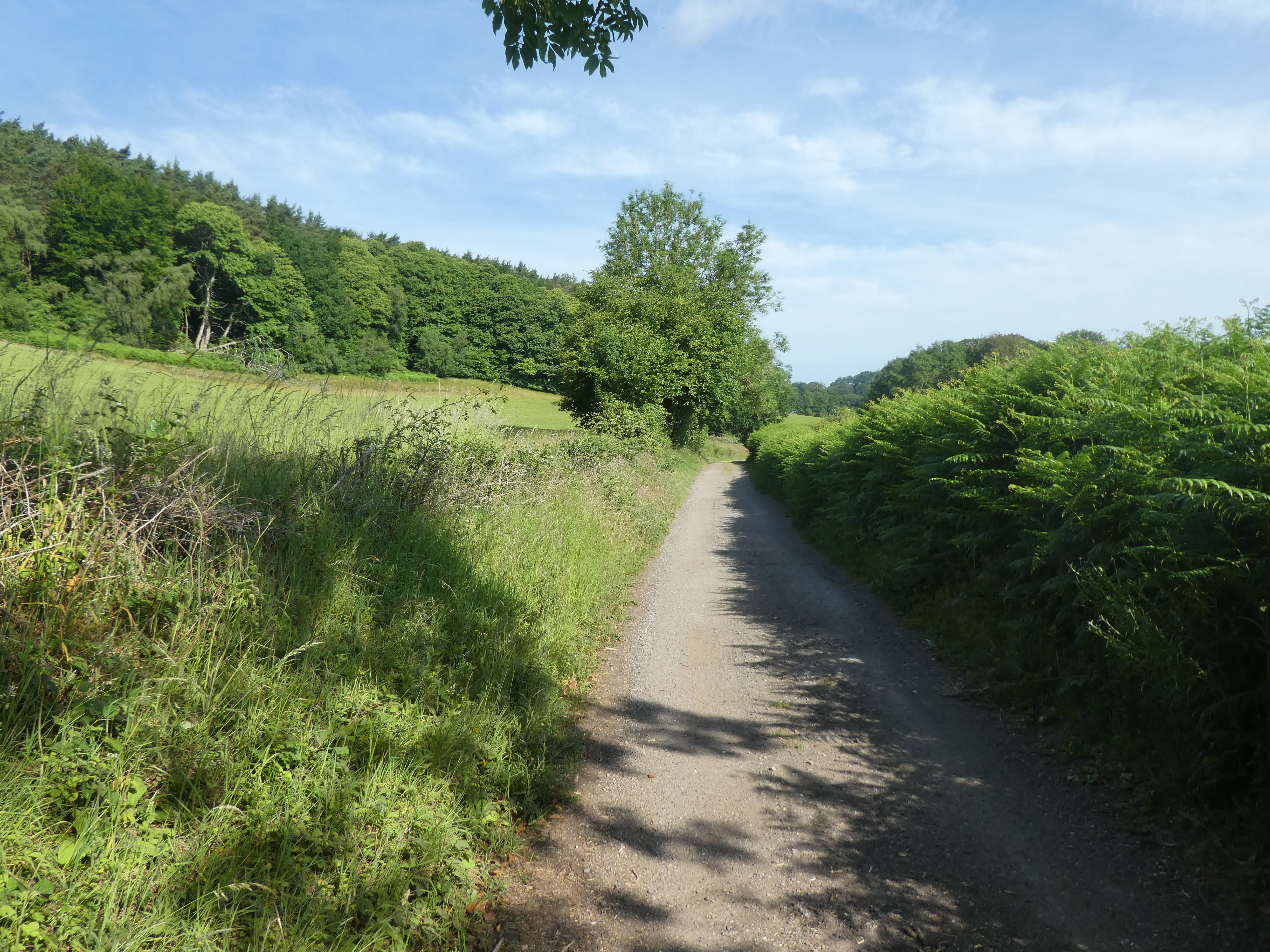
This track climbed up steadily towards the iron age fort on the top of the ridge ahead. I did not go over the remnants of the fort, but took the track around the ramparts.
Continuing on the track around the ramparts, and then along the edge of the ridge. Looking down to Dunsfold aerodrome to see where the planes were this week.
Into the beech woods at the end of the ridge, dropping down to the saddle at Nore Hanger. Here I missed the turning aroudn the horseshoe ridge, but continued down to the track aroudn the bottom of the ridge.
Coming out into a grass field above New barn, zigzagging around a small pond and continuing on the now dirt farm track.
The farm track continued between woods up to a junction with a back road. In the field beside the track was a full film location unit.
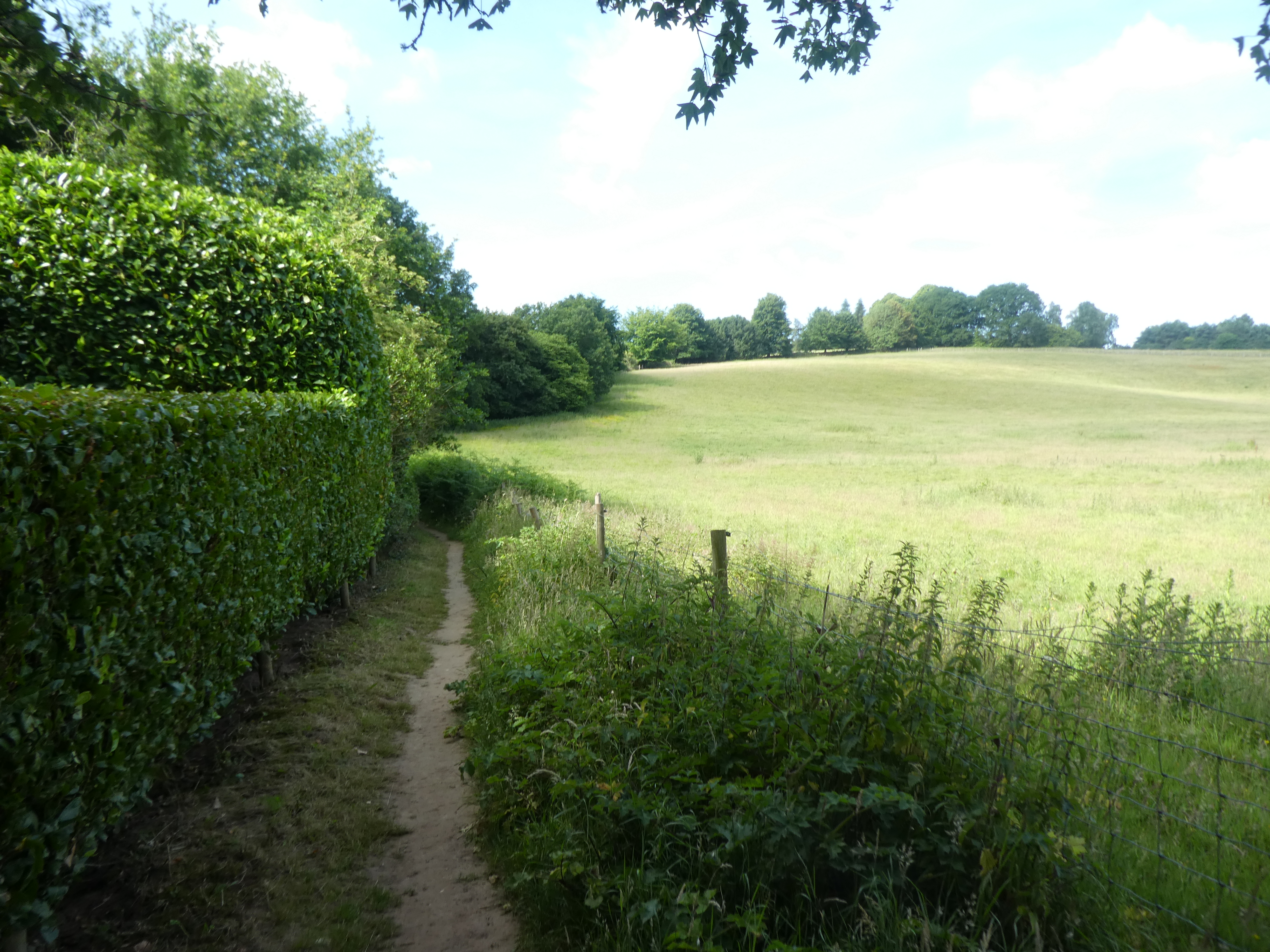
Along the back road passing Scotsland farm and meeting up with the Greensand way. This disappeared into some body high ferns alongside a stream.
In the field beside the path was a horse head sculpture.
The path changed into a track as it climbed up a grass field. At the end of it was 18 toilets and a water station. I was not sure what was going on.
Wintershall were putting on a performance in their grounds. I had to fight against the flow of school children as well as a train of coaches coming up the track.
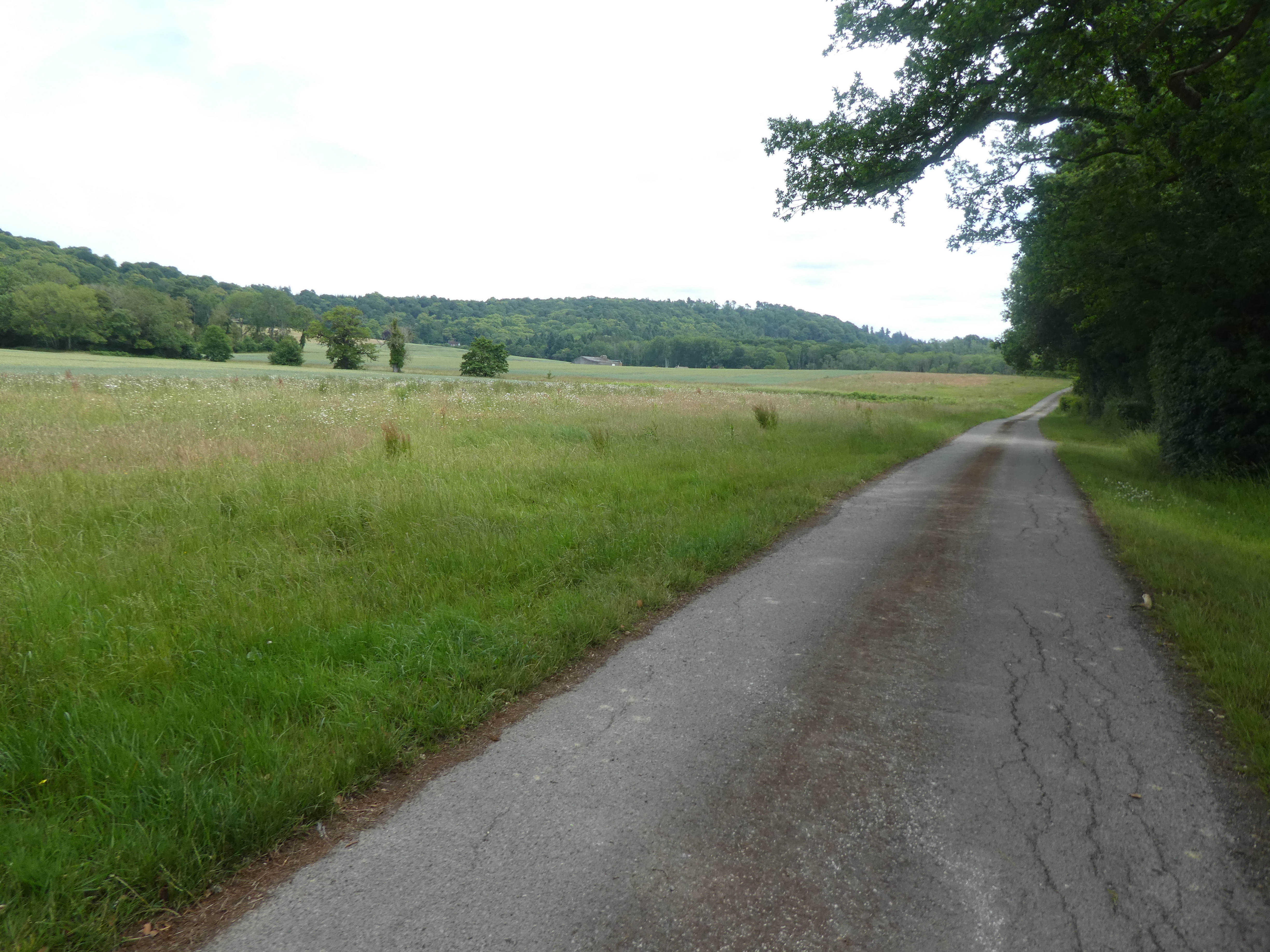
The track went down to a back road at Gatestreet farm - a conservation farm and venue for events. I turned up their farm track - still on the Greensand way.
Leaving the track following the Greensand way to a junction of paths where I left the Greensand way and followed a foot path up to some woods
Through the woods then a narrow path between two fields led to Thorncombe Street - a hamlet beside a stream
Through the hamlet until I could reach a footpath that went behind the houses parallel to the back road.
Around the hamlet and down a driveway to the back road. Then to my surprise there was a permissive path alongside the road that led to the bottom entrance to the Arboretum.
Just past the car park, the footpath goes into the NT arboretum. A public path right through the estate.
Down to the lake and boat house
The path curves aroudn slightly and then up the side of the grass amphitheatre. then along the main drag to the entrance - I scanned in to help the visitor numbers before continuing down a driveway on the other side of the Bxxx.
Down beside South Munstead farm, and into the woods around the track above Juniper valley, curving around to a major junction of paths.
Climbing up from the valley to cross Salt lane into the car park below Hadon's Ball.
Into Hadon Heath, and along the main track, then along the footpath leading up to the top or Ball
The final steep slope and up to the plateau at the top
The route I normally follow would be straight down the opposite slope, however it looked a little overgrown with ferns.
The ferns had hidden the track and I had to go slowly, feeling with my feet. All the traps - logs, roots, vegetation as well as turns in the track - were hidden. Eventually I came out onto the boundary track.
down through the new plantation and across the horse paddocks to Court farm.
Around the side of the farm and down to Hambledon road.
Across the road beside the pub onto a wide path beside horse fields.
The path led into Buss's common, and followed the edge of Enton Hall - across the parkland the other side of the fence.
After Water lane, I turned into the woods. As the path reached the edge of Wormley, I found a path that cut over to a bridle path on the other side, eliminating the need to go along A283.
This bridleway was actually the driveway to Stonepit Hill ... I had to press the button to continue through the gate and up beside a large fish pond.
Along past the house and down to the stables to get into the woods beyond.
Down to a large complex junction of paths and then up onto Hambledon Common
Across the common on a descending traverse to the village of the same name. then through the village to get to Vann lane.
A shortcut across a bend in the lane, led past a house and horse paddock, then beside fields.
A final section through thick rhododendrons and a disappearing path led back to the lane. A long section along the lane before reaching a sharp turn in the lane.
Then along the driveway to Burgate farm, through the wheat fields to the farm.
Behind the farm, following a farm track past a new barn.
Turning off the farm track into woods up to the back of Markwick farm.
Over a back road and a steep climb up Breakneck Hill ... the path got steeper and steeper as it climbed - even where it had a large curve.
At the top I was in Hurtwood plantation walking along the firebreaks.
A slight misjudgement and I followed around the edge of the plateau and had to drop down to gain the Greensand way below and then down more steps to the fields at the bottom.
Across the fields back to the layby and the van waiting for me. Time for lunch and some rehydration, before heading form home.